

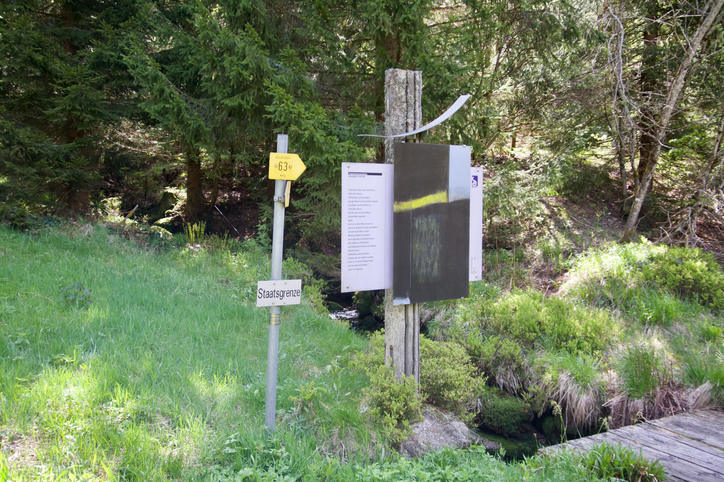
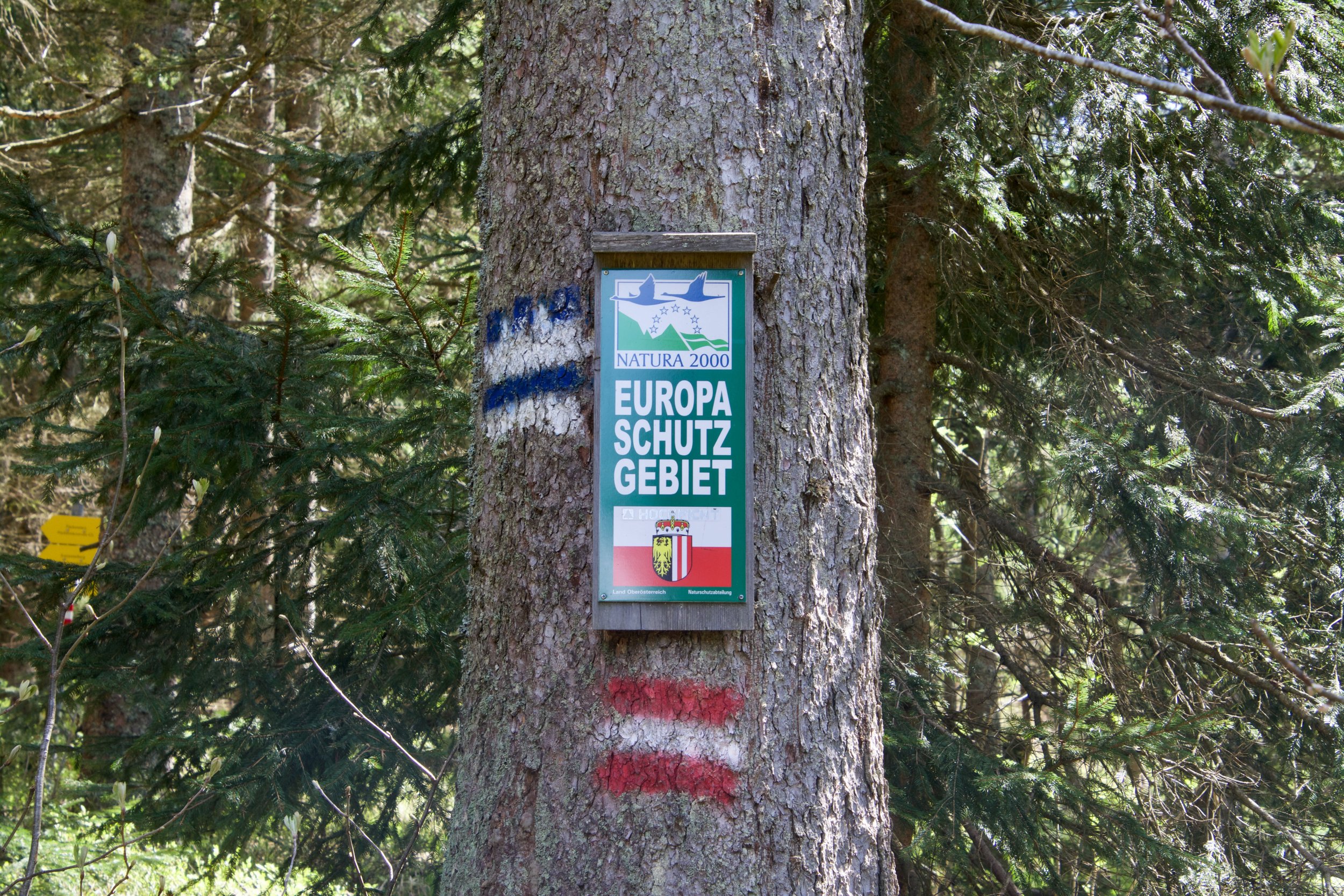
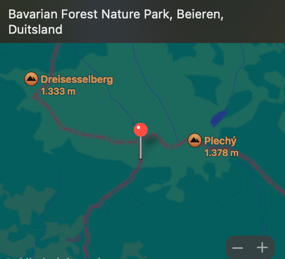
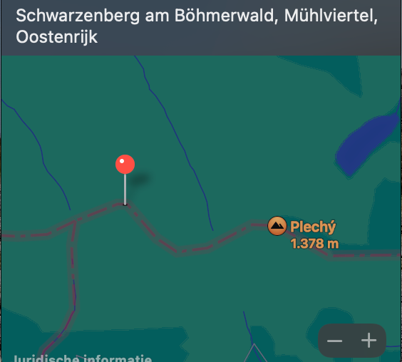
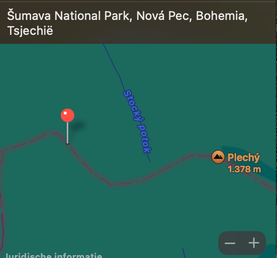
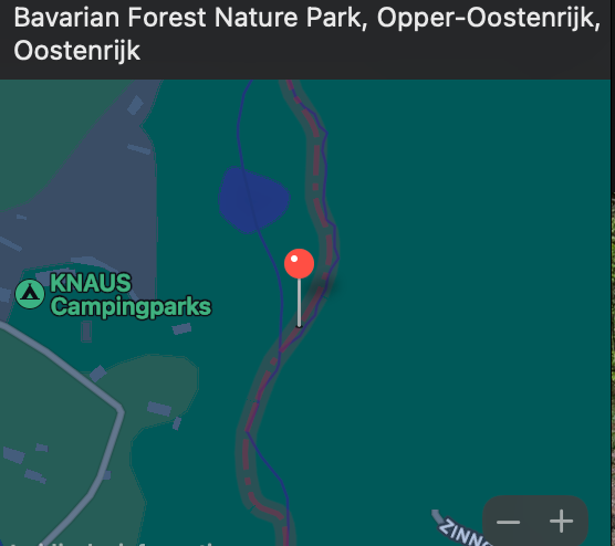
This page not only shows info and pictures of the exact tripoint of Austria, Czech Republic and Germany. It also shows pictures of the hike to the tripoint from the Knaus campground in Germany (hike of 4km. with 700 mtr. altitude). This hike follows the Austrian/German border.
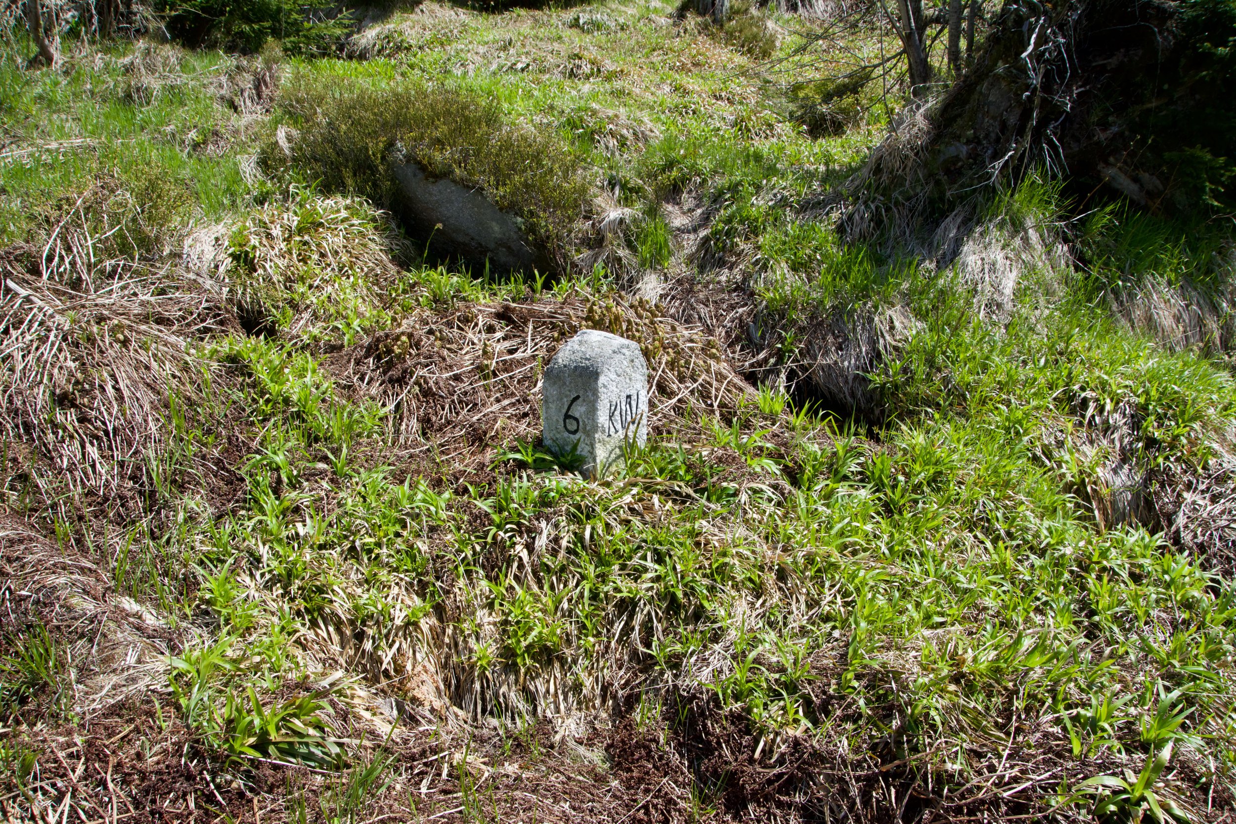
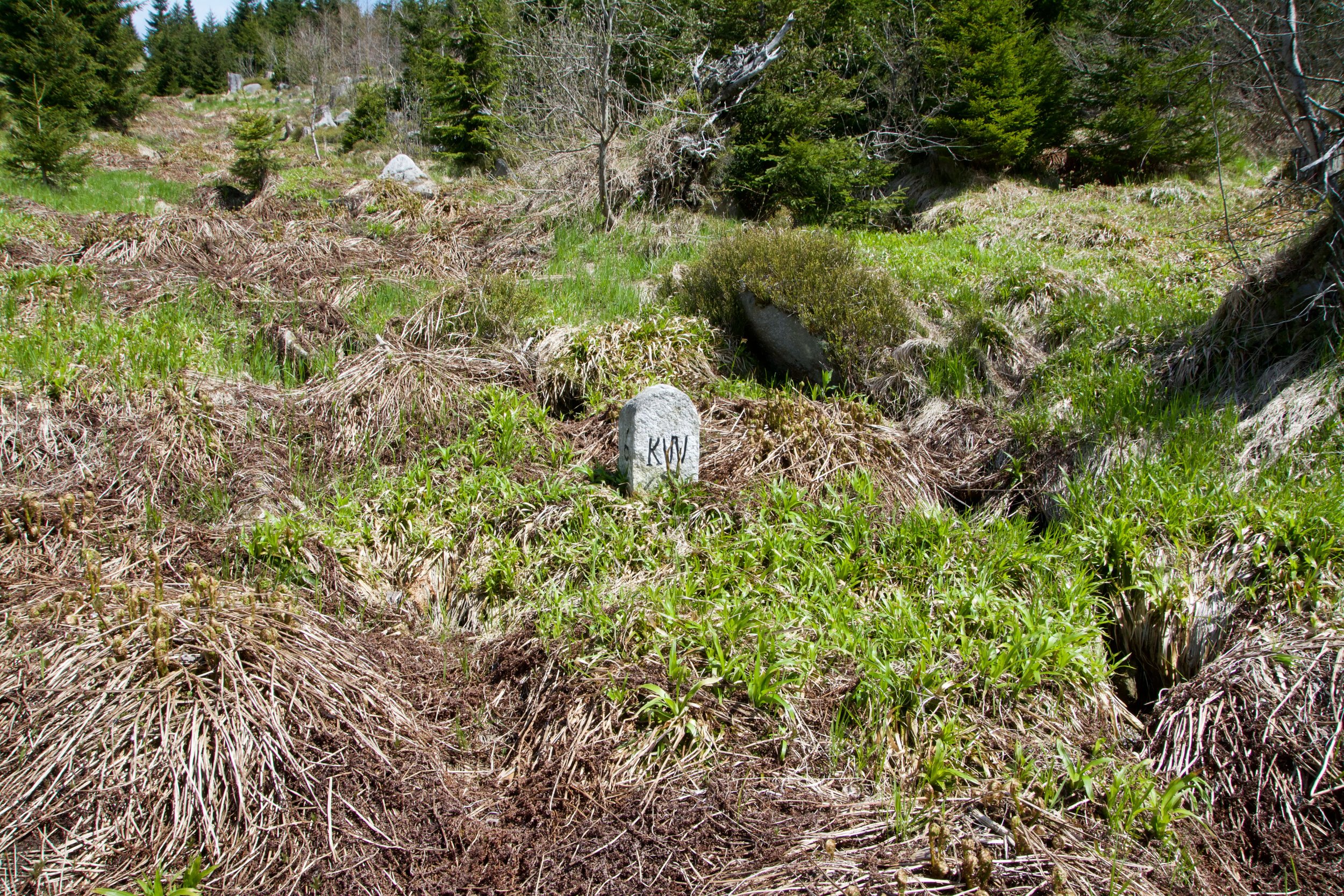
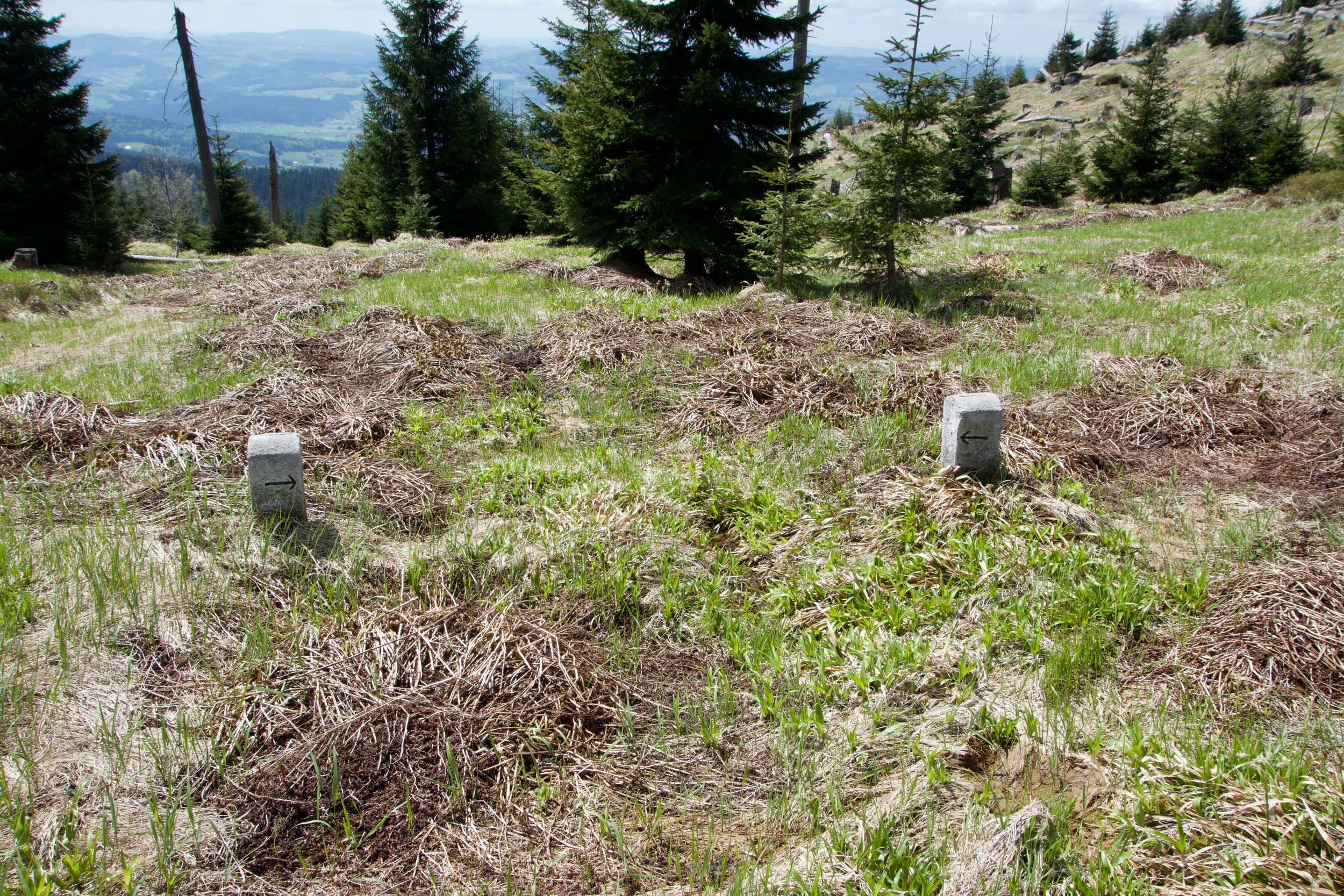
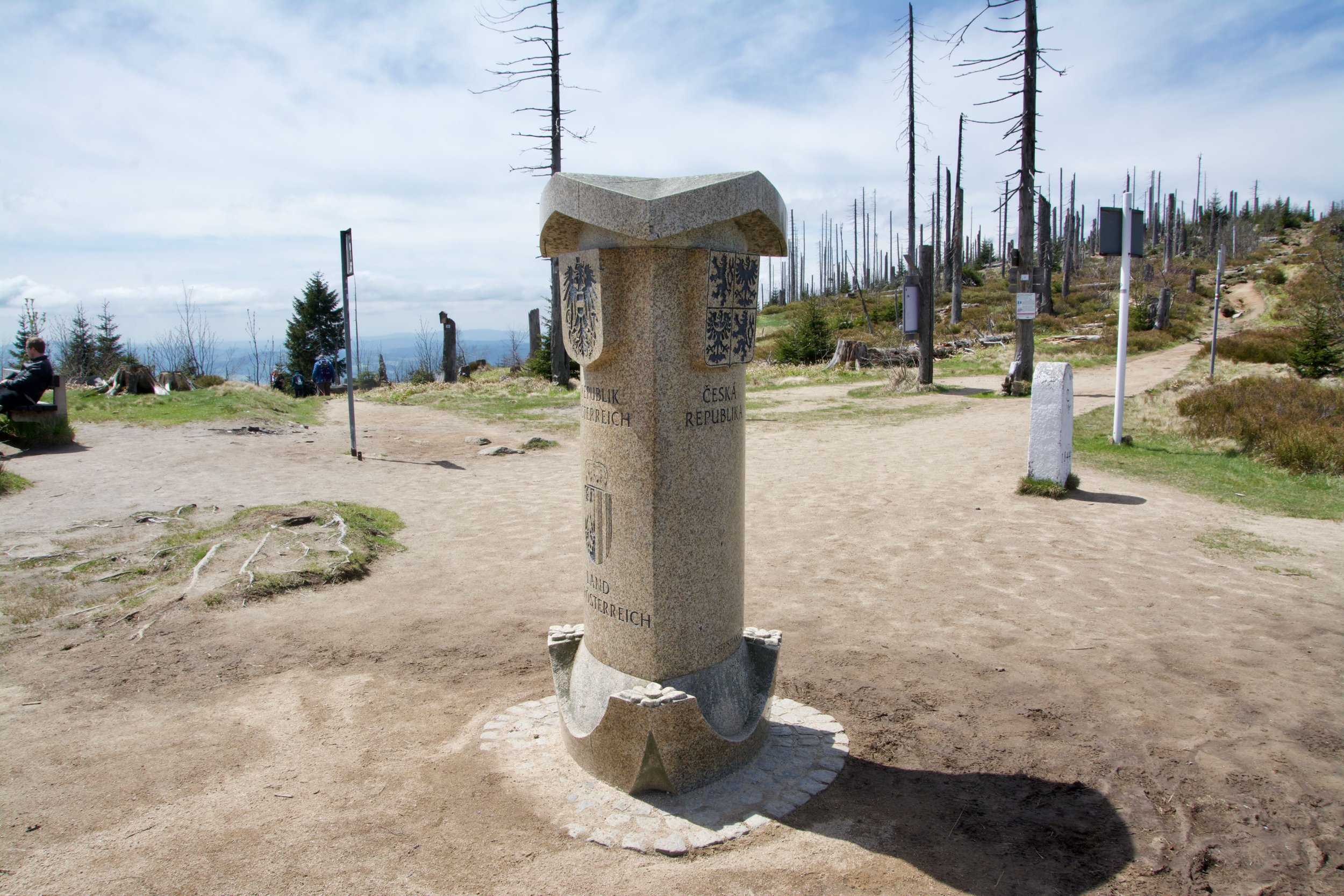
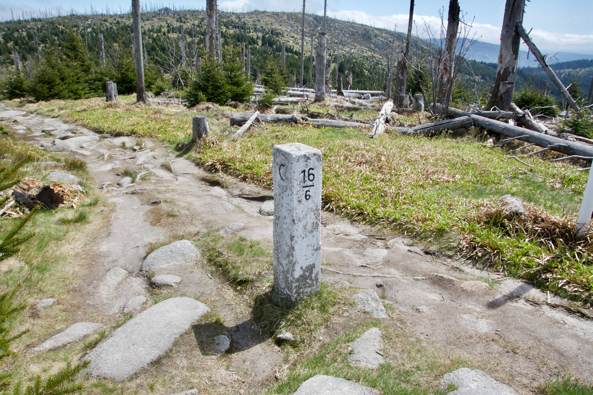
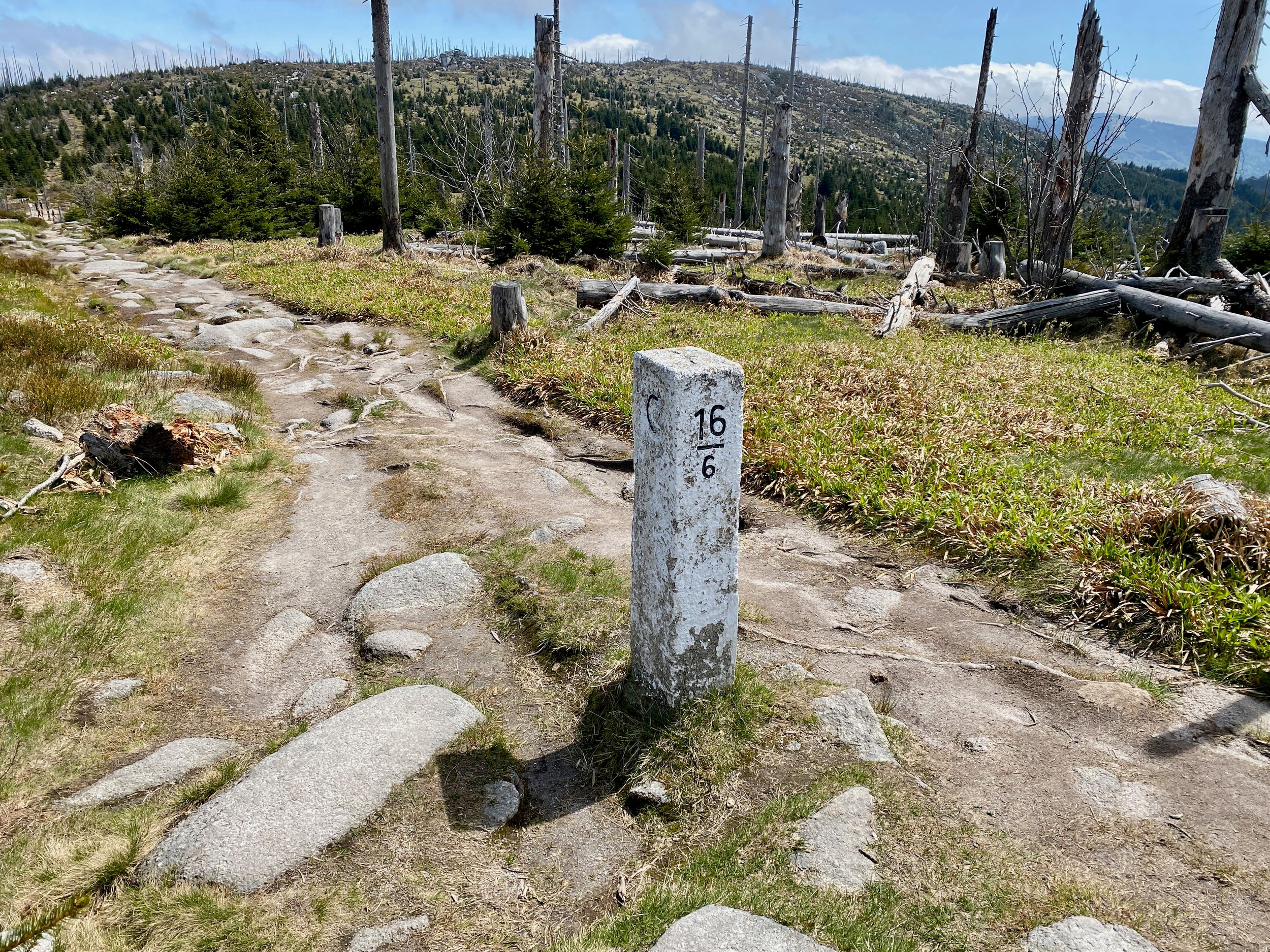
At the tripoint we walked shortly along the Czechh/German border (1 bordermarker) and along the Czech/Austrian border (6 border markers).

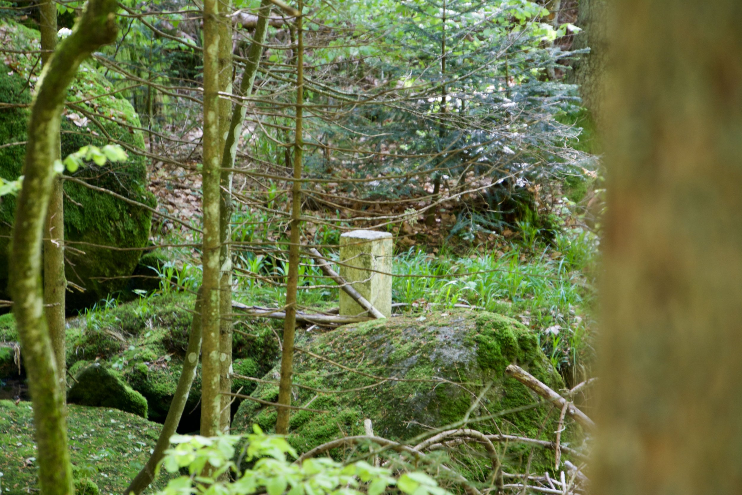
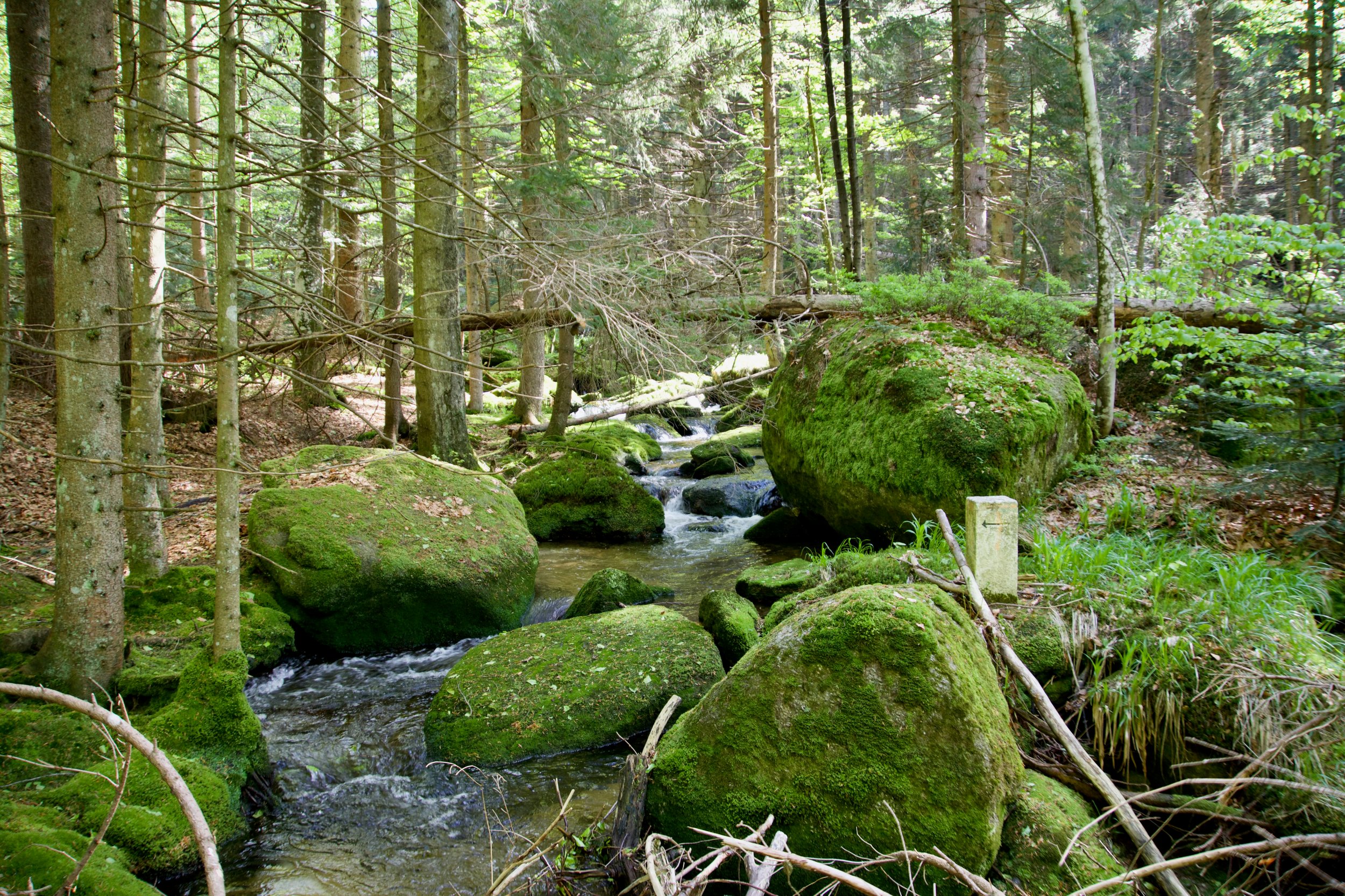
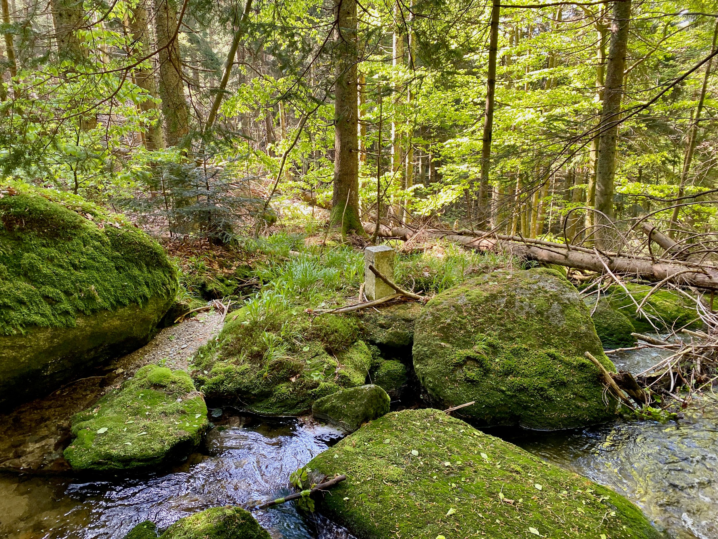
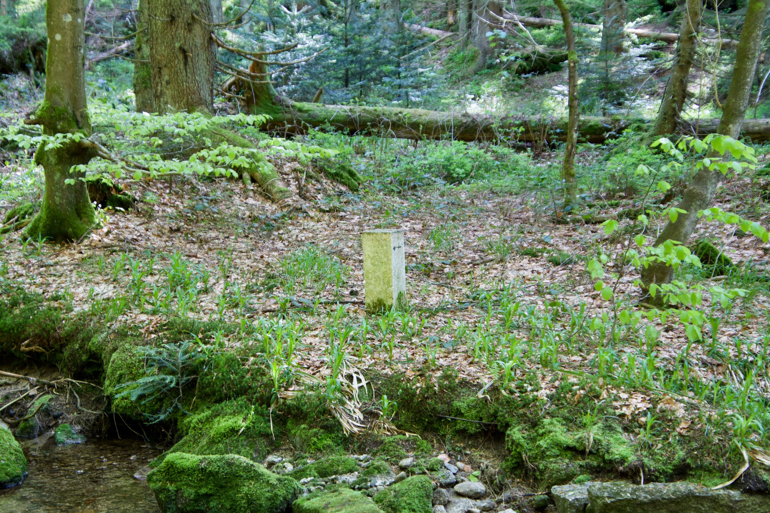
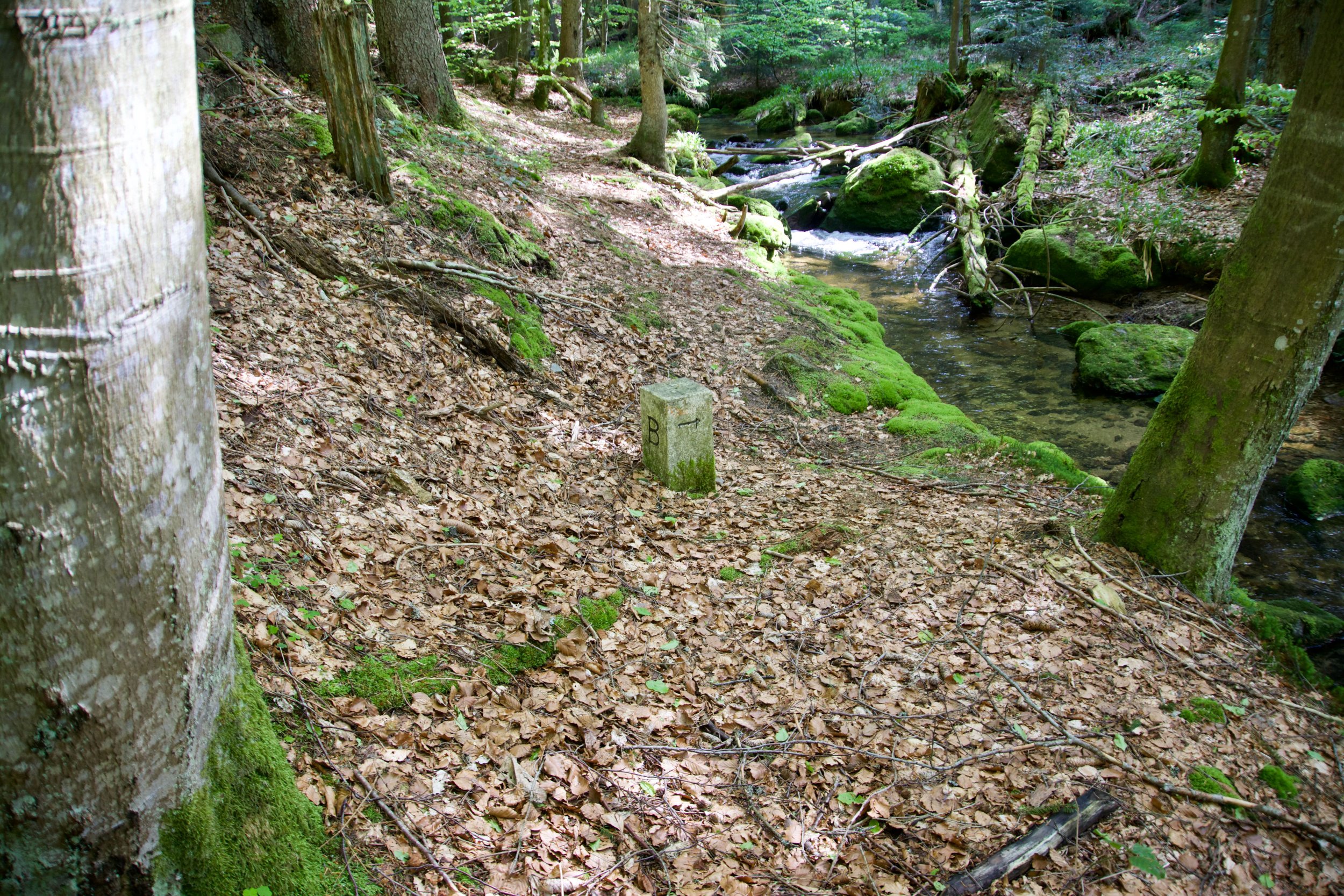
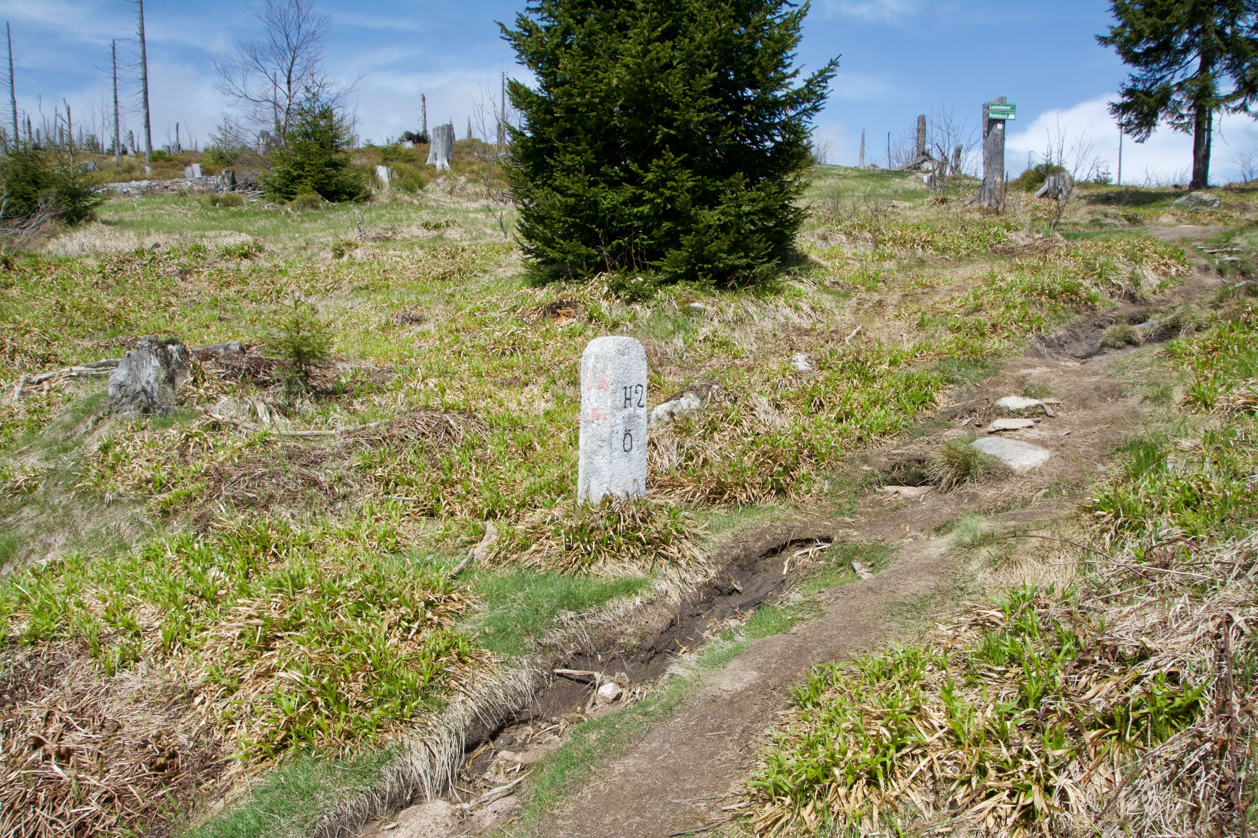
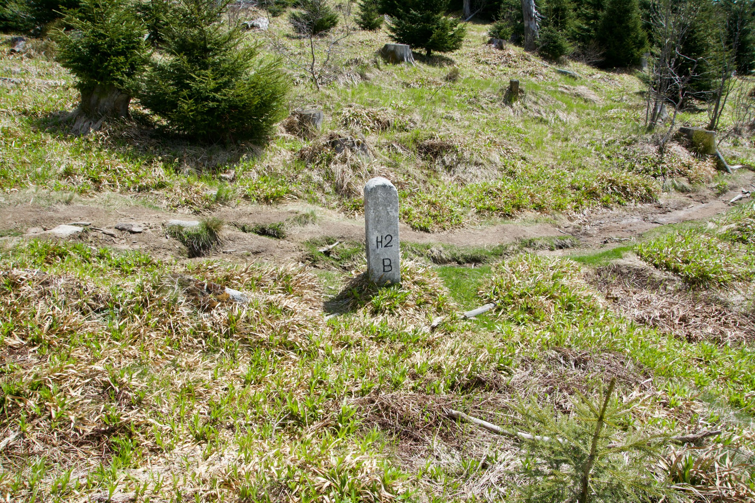
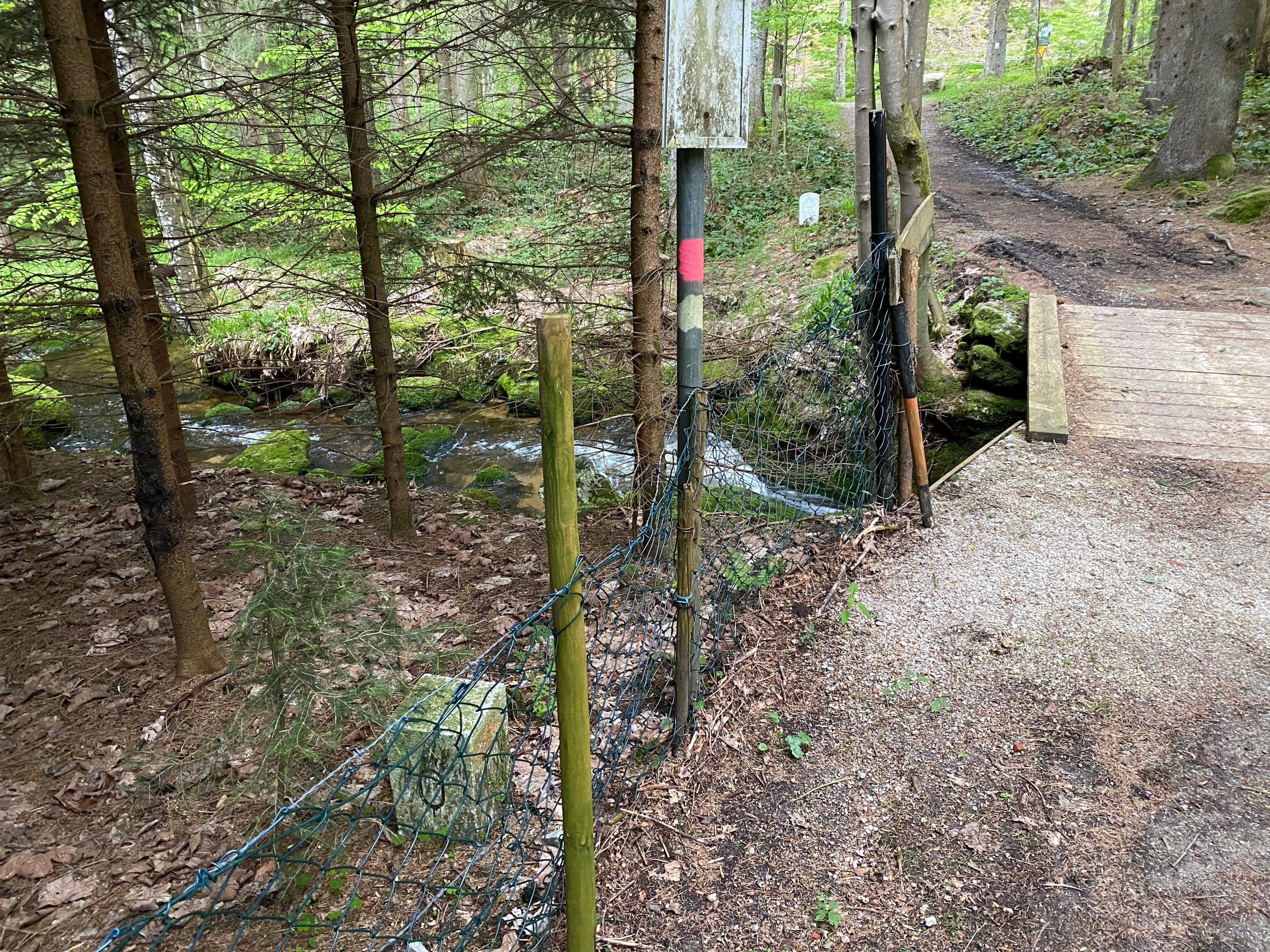
Because the target was the tripoint, we weren't able to spot all border markers at the Austrian/German border from the beginning of our hike.
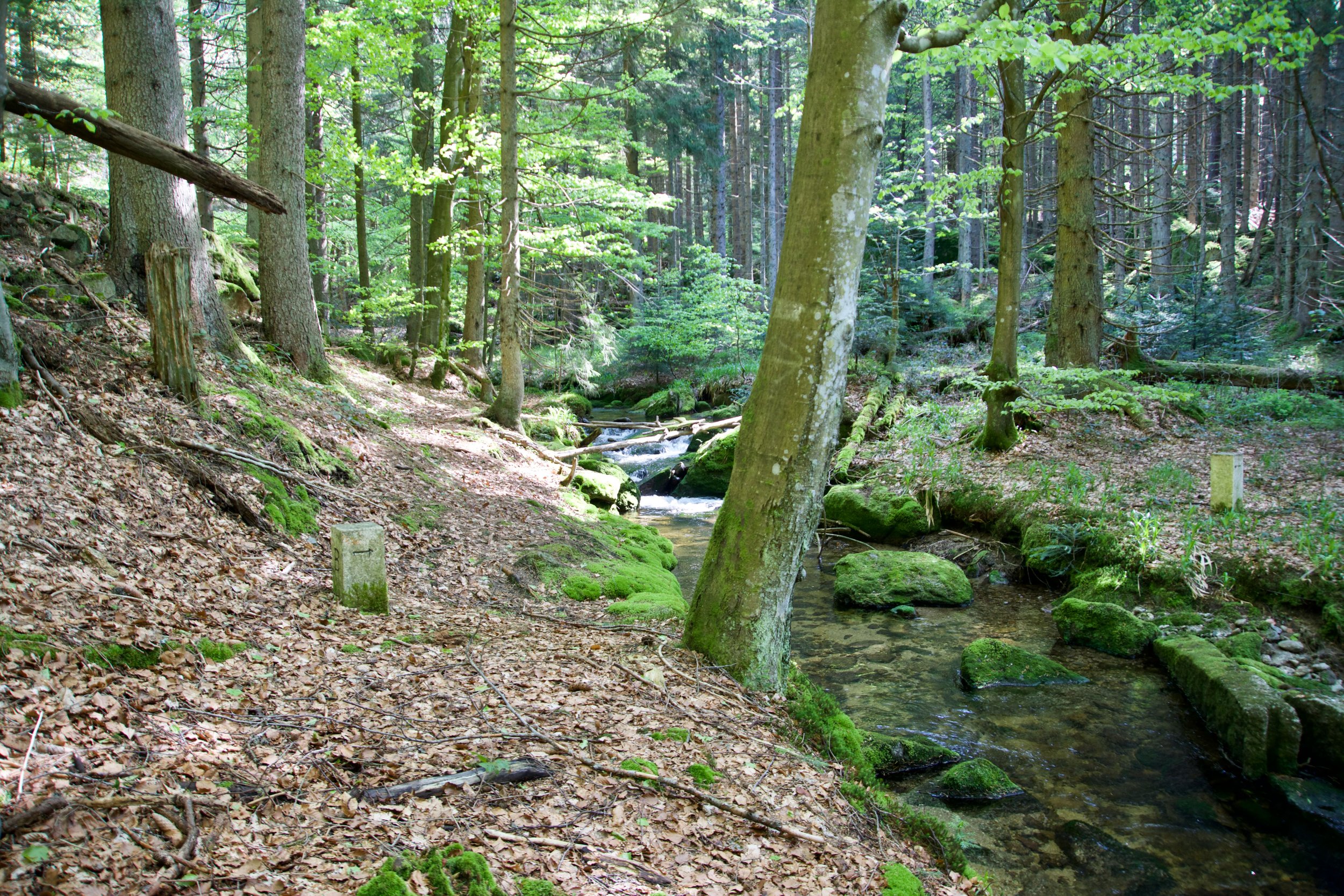
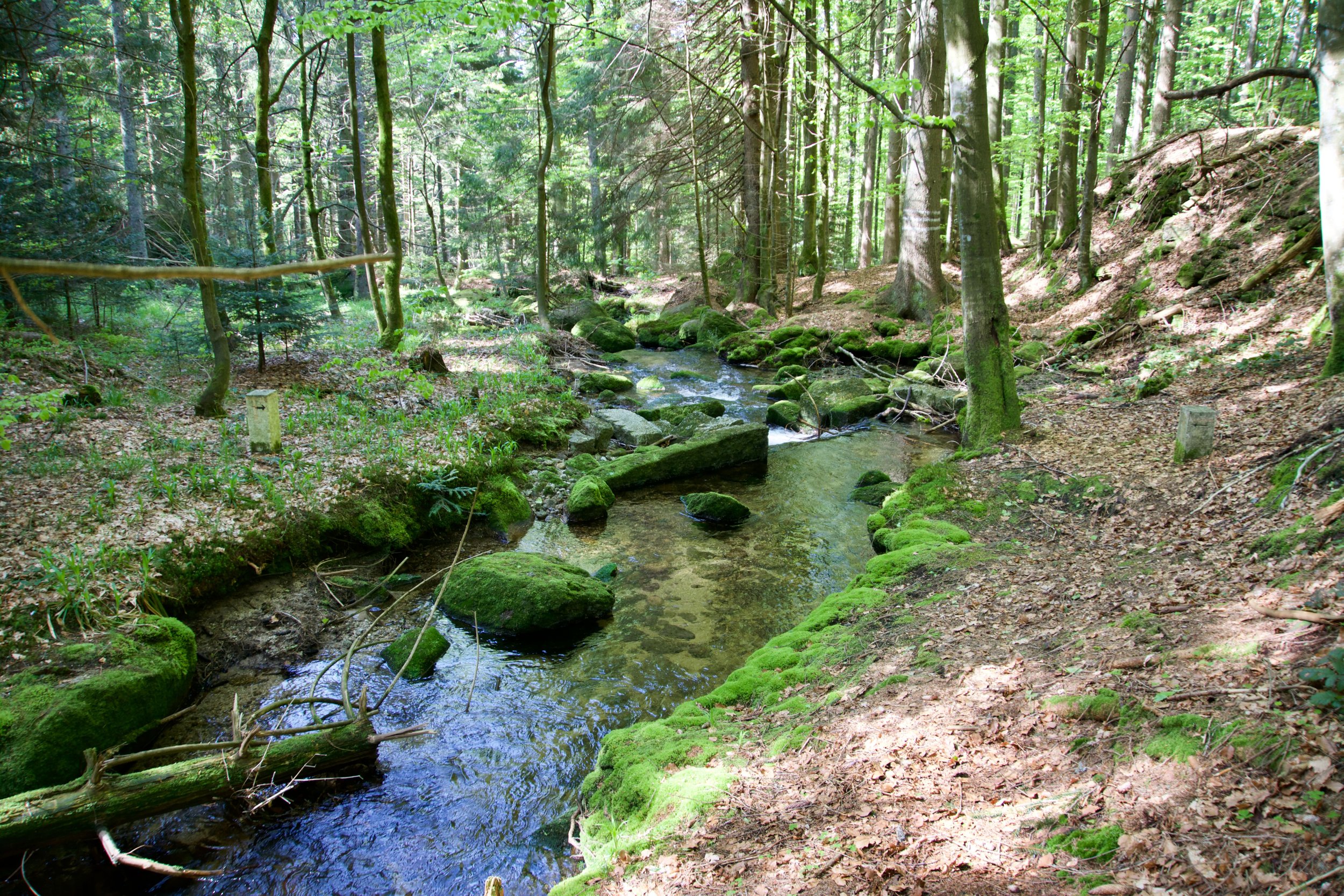
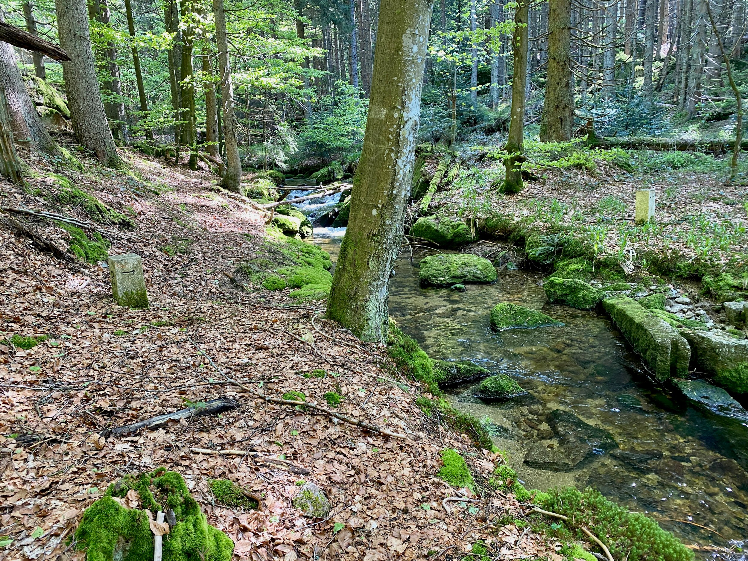
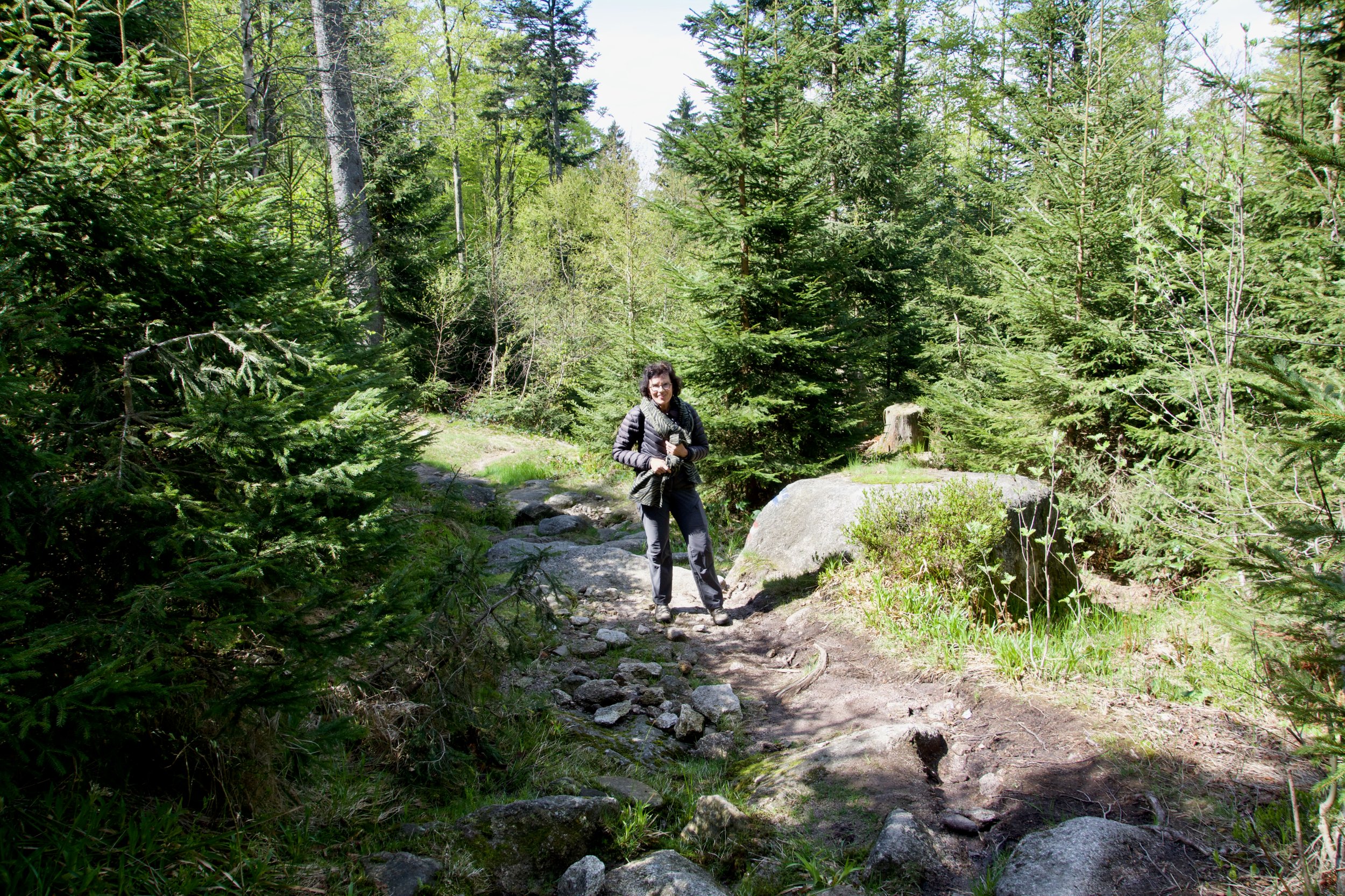
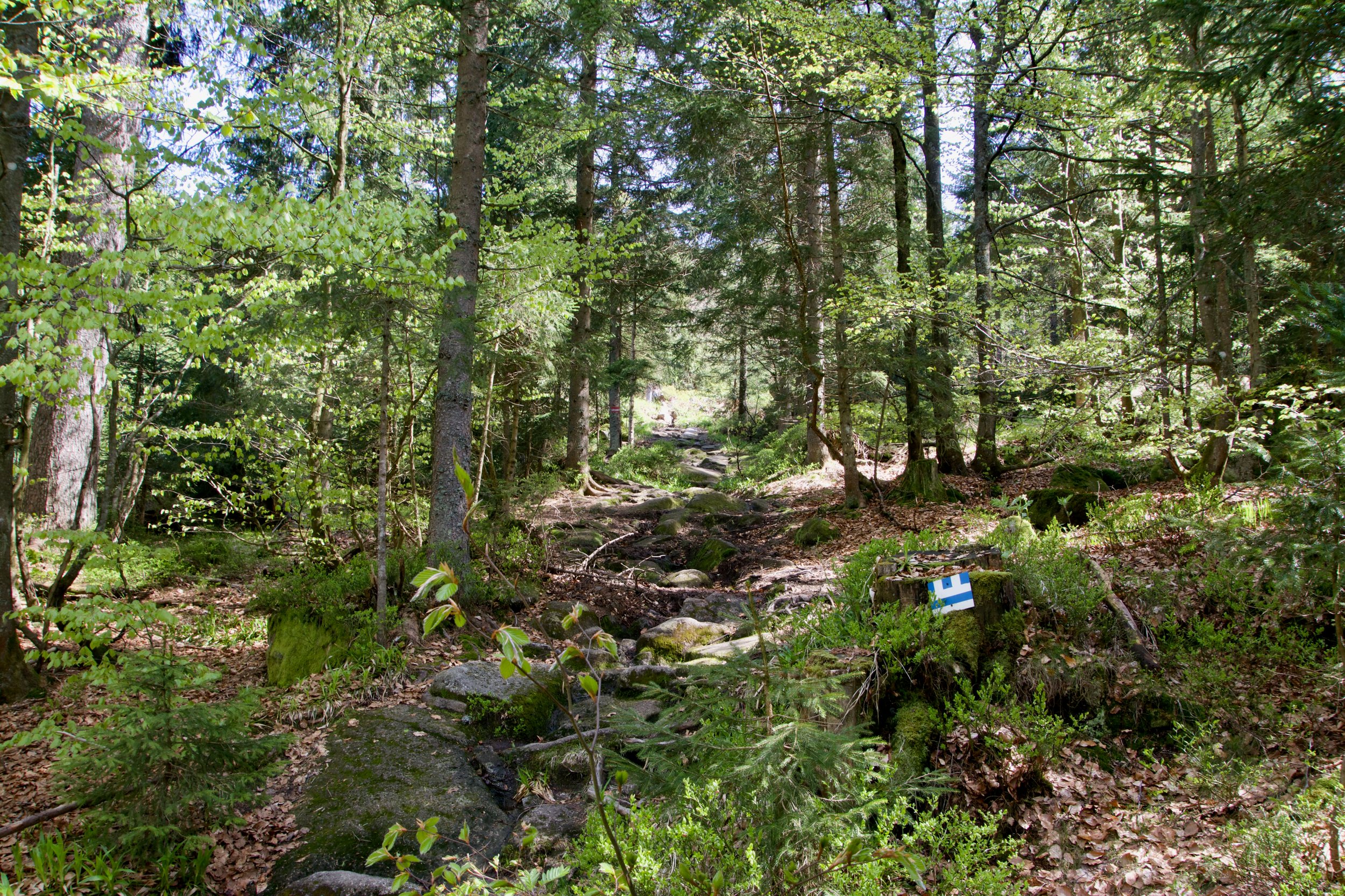
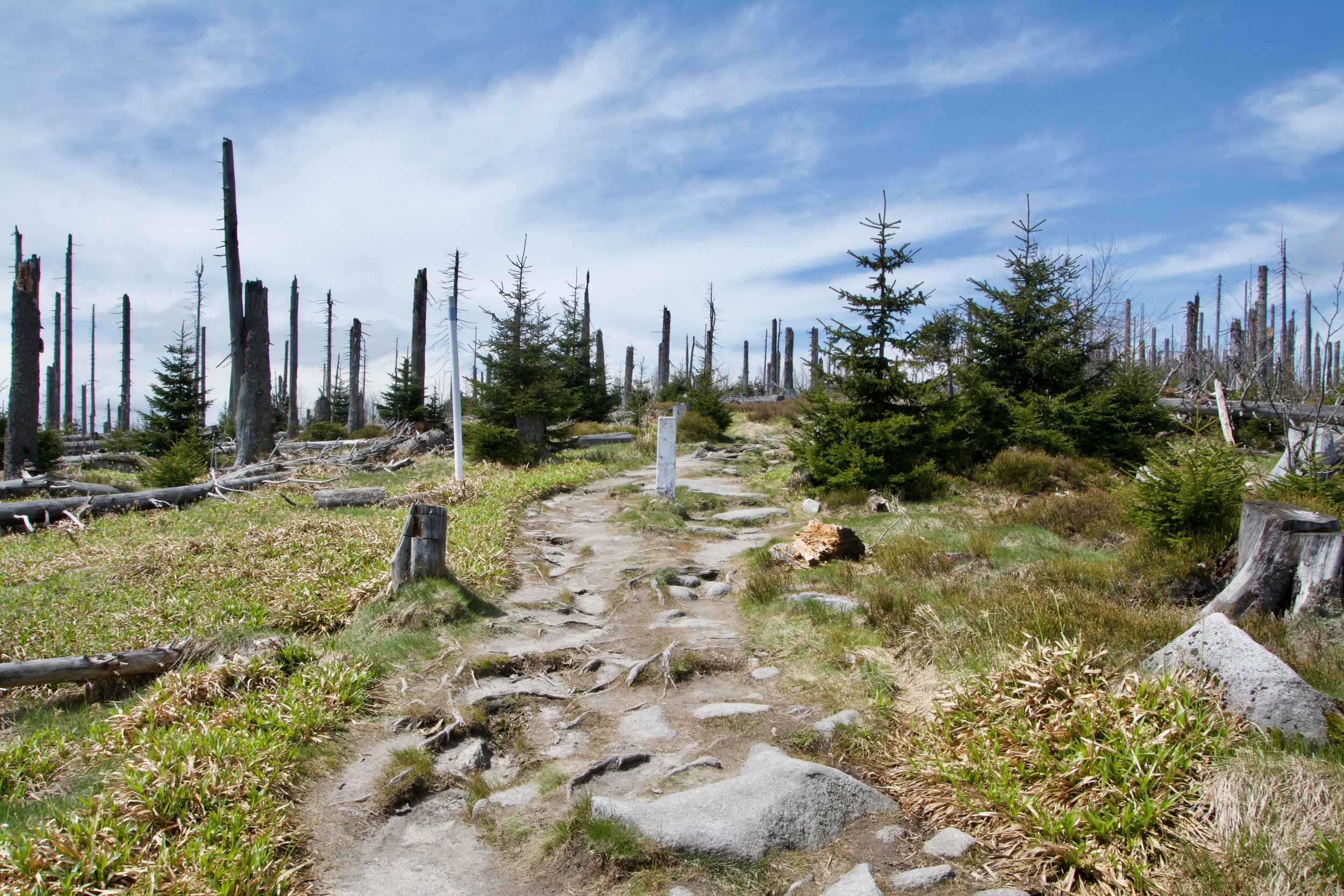
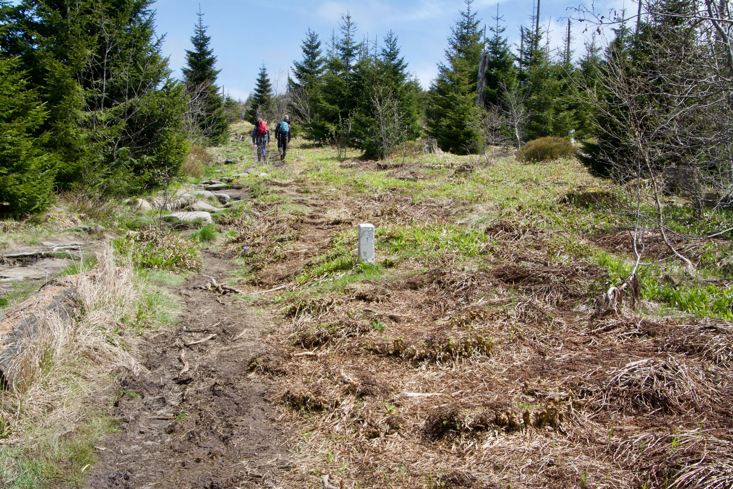
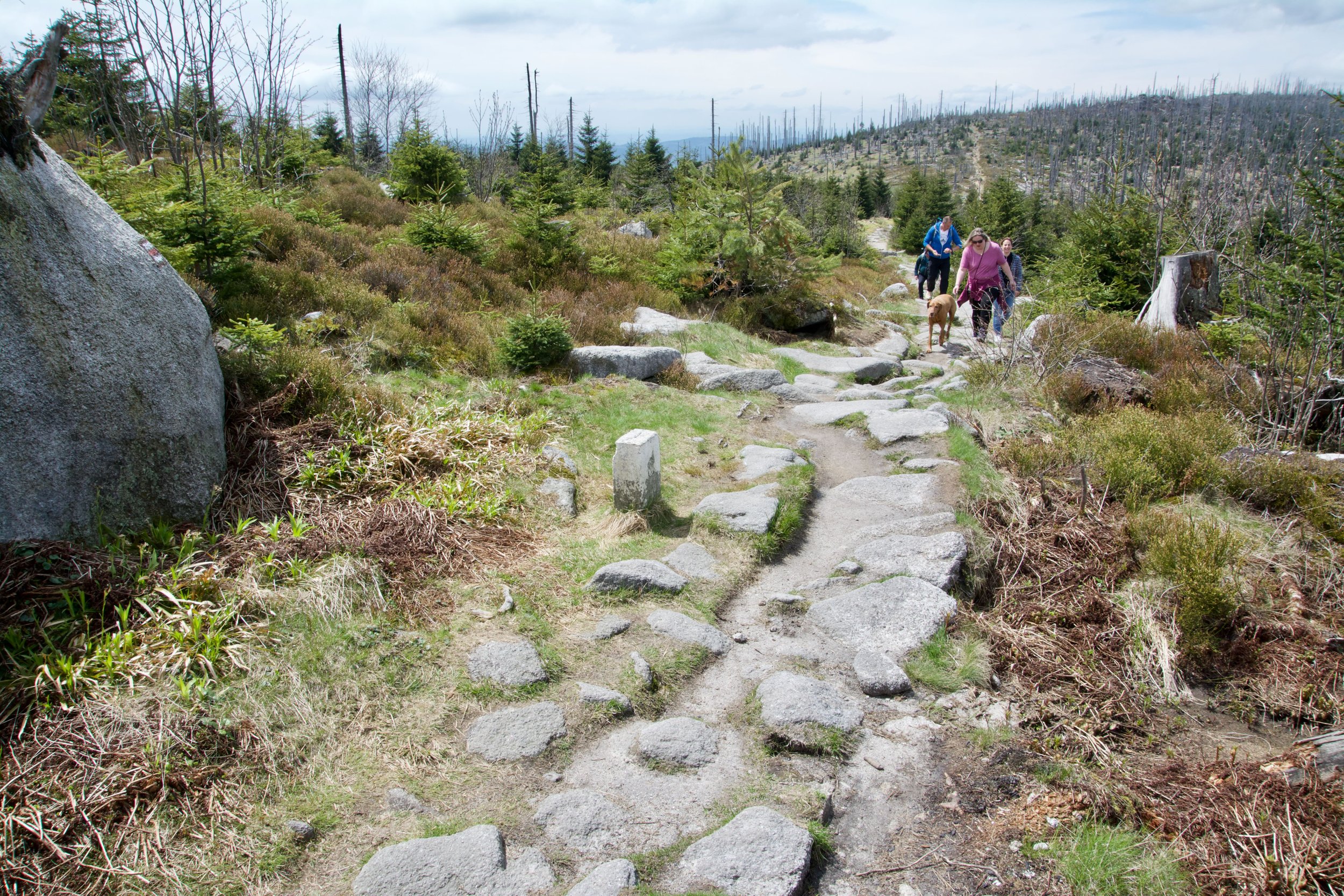
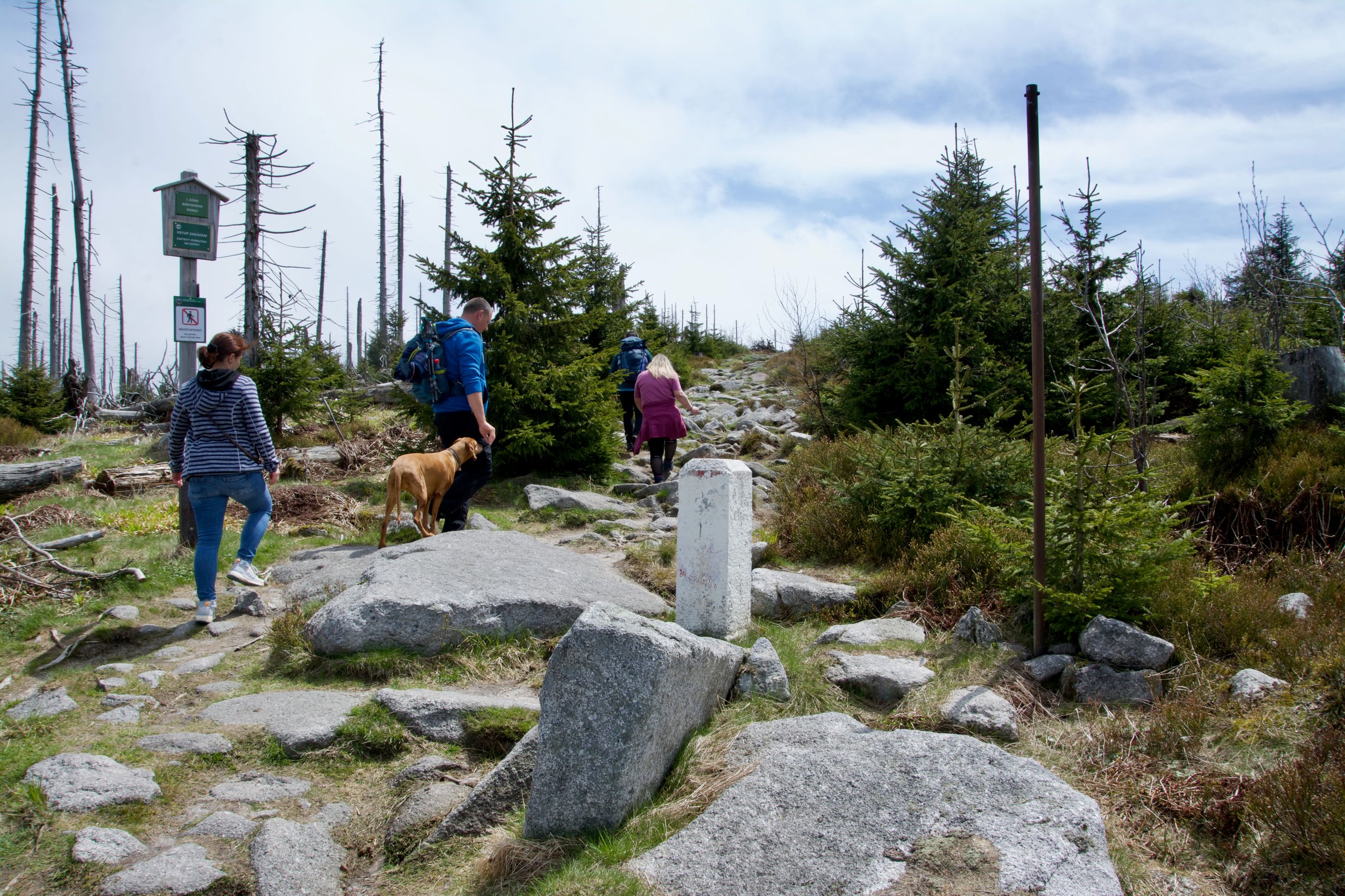
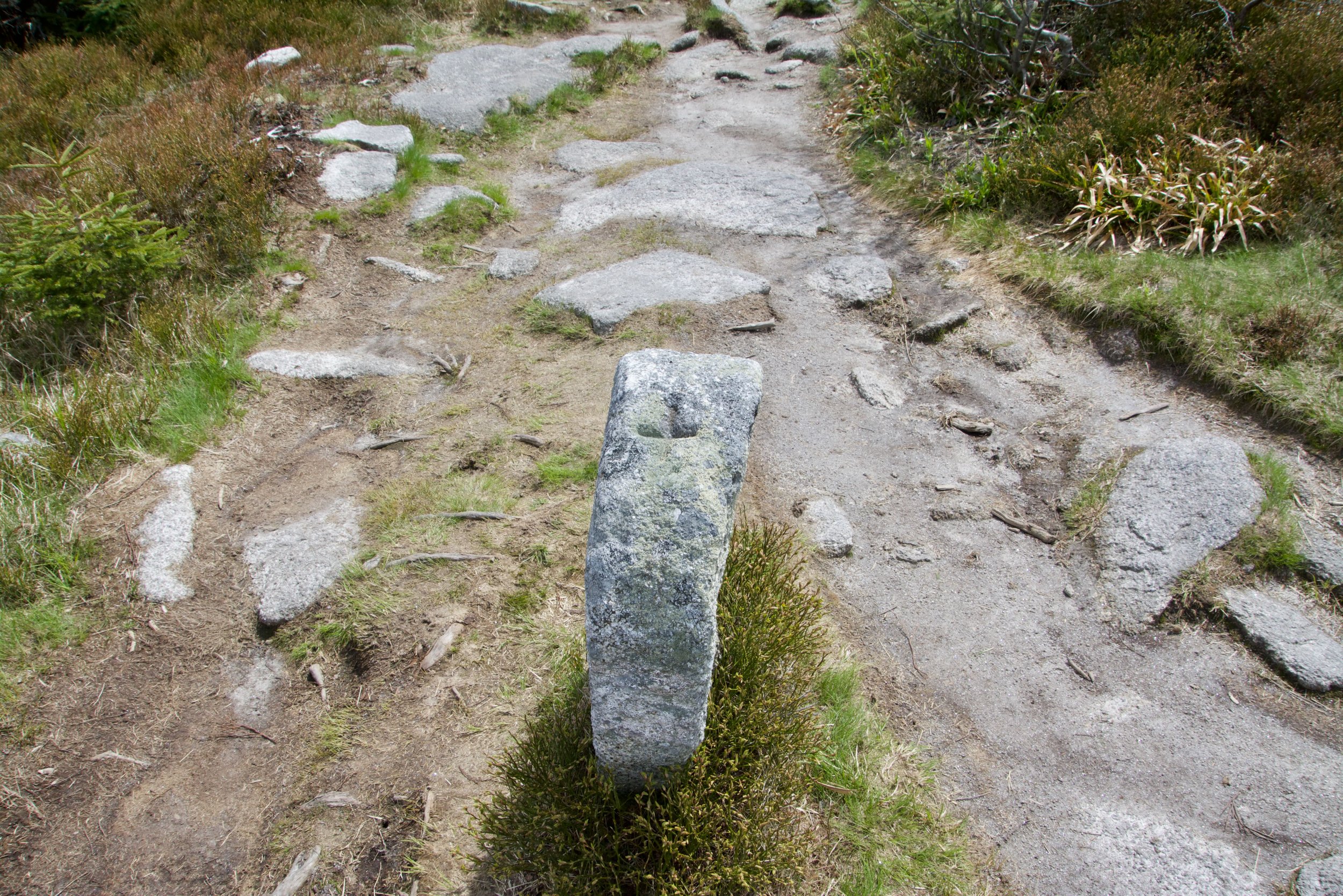
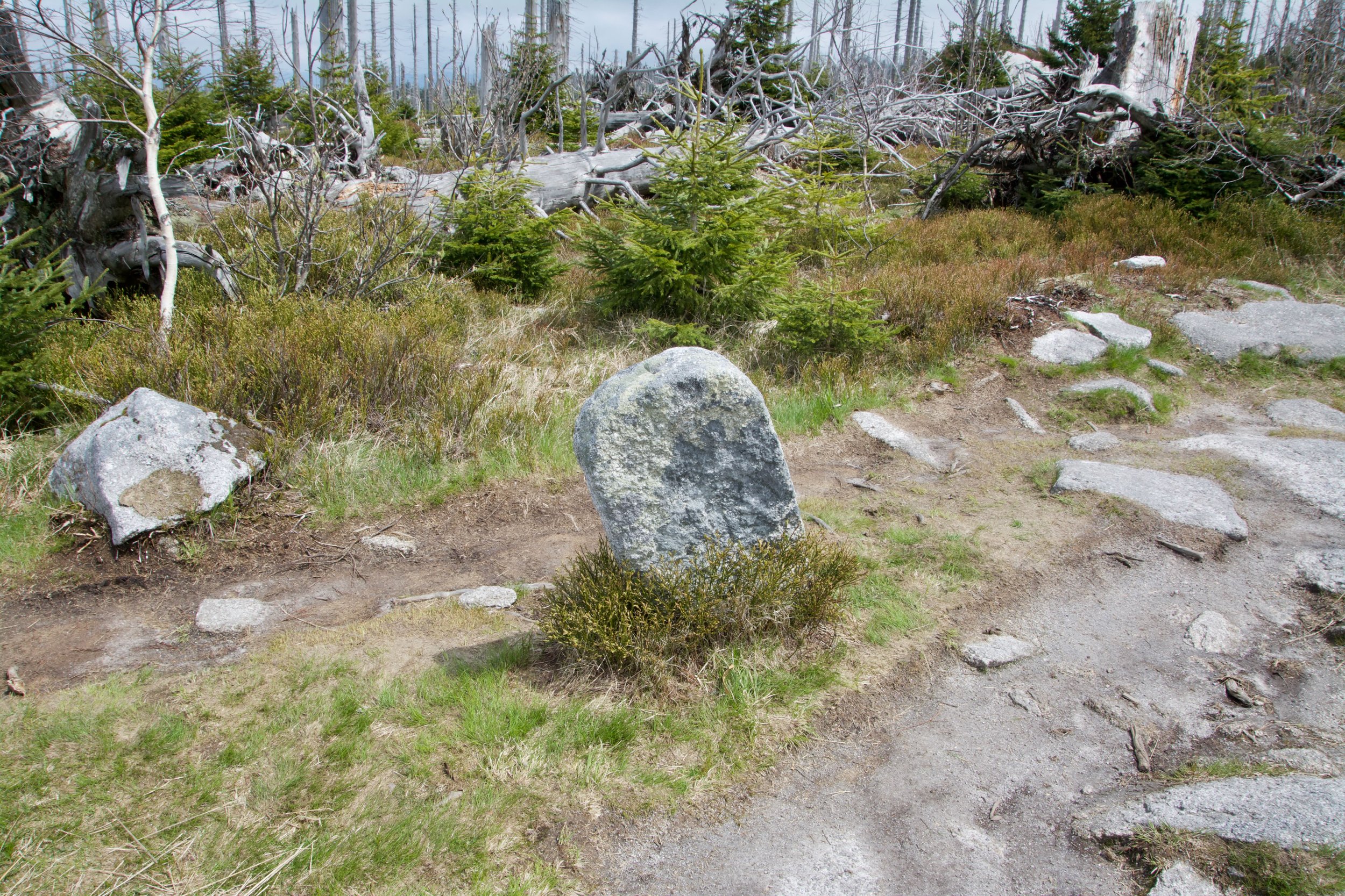
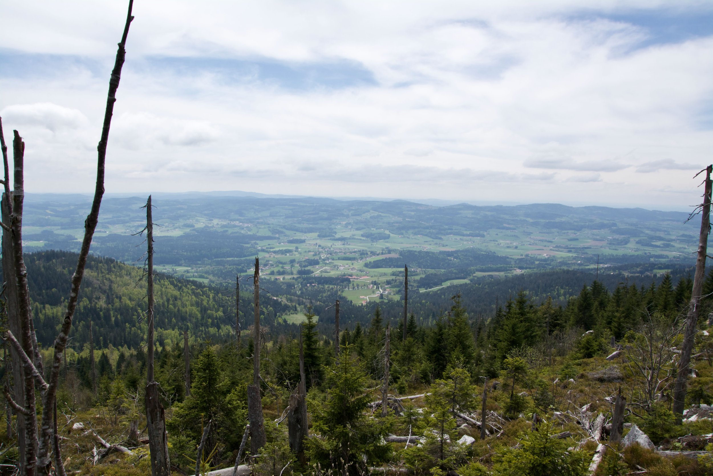
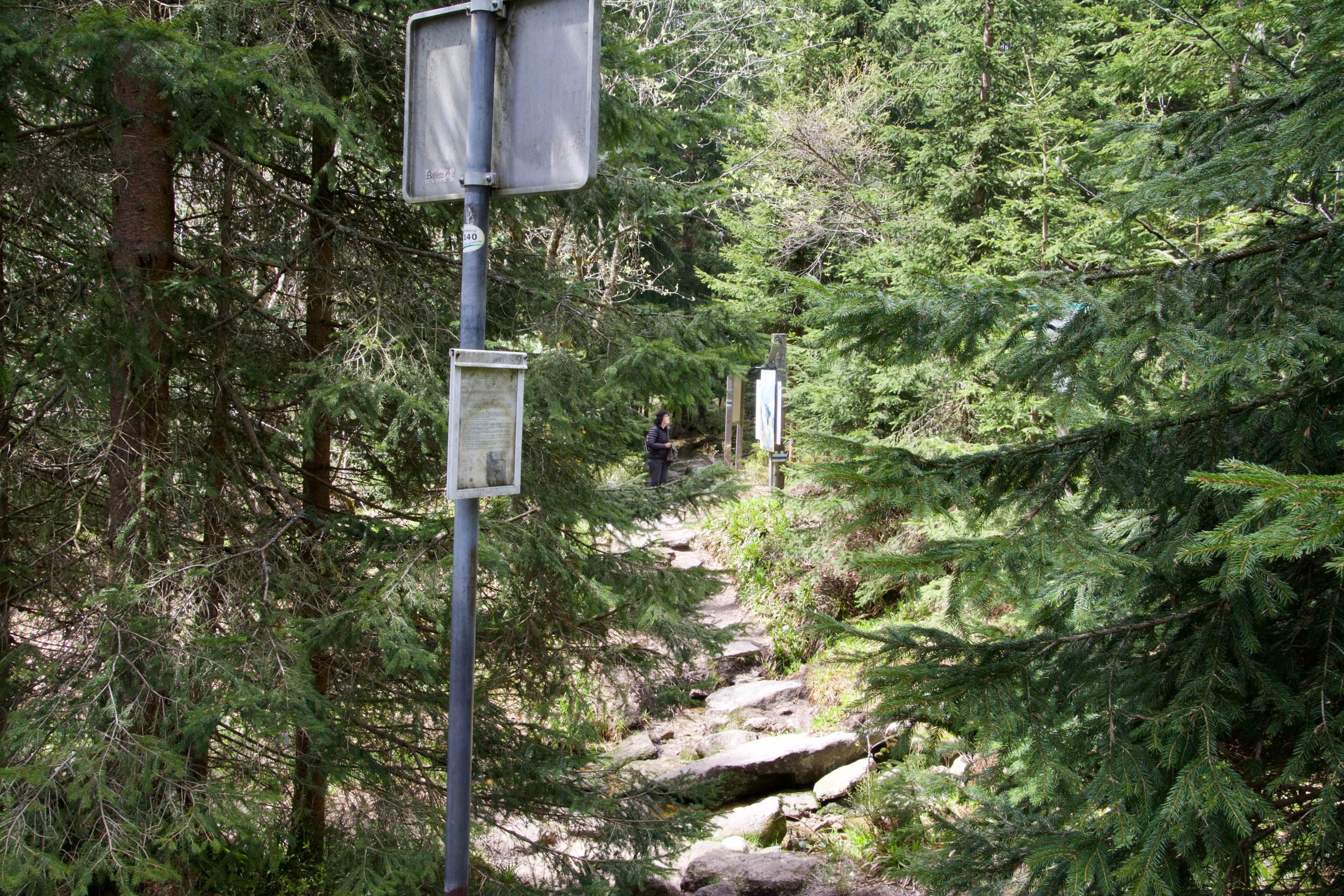
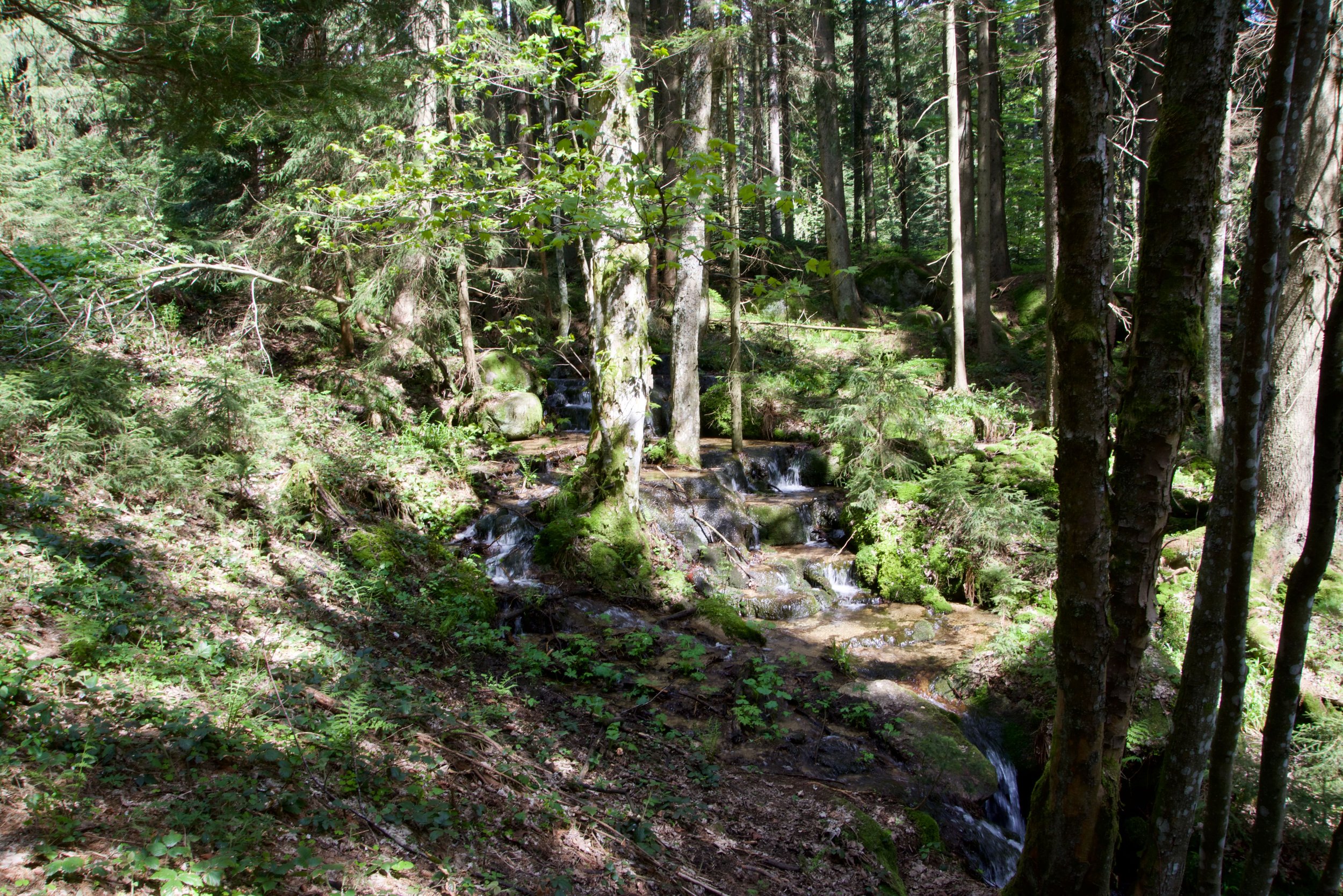
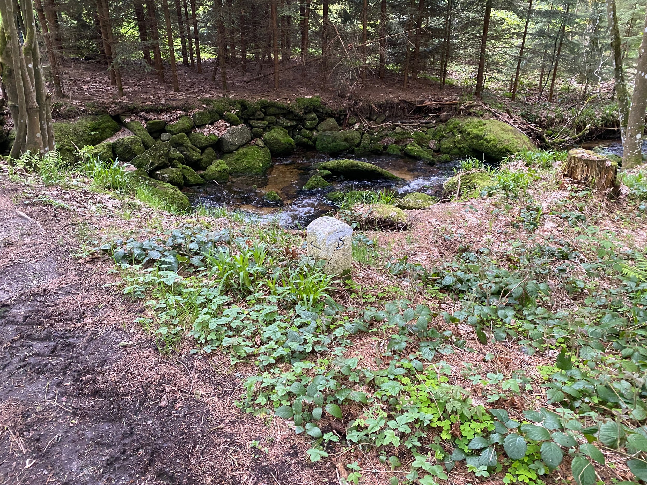
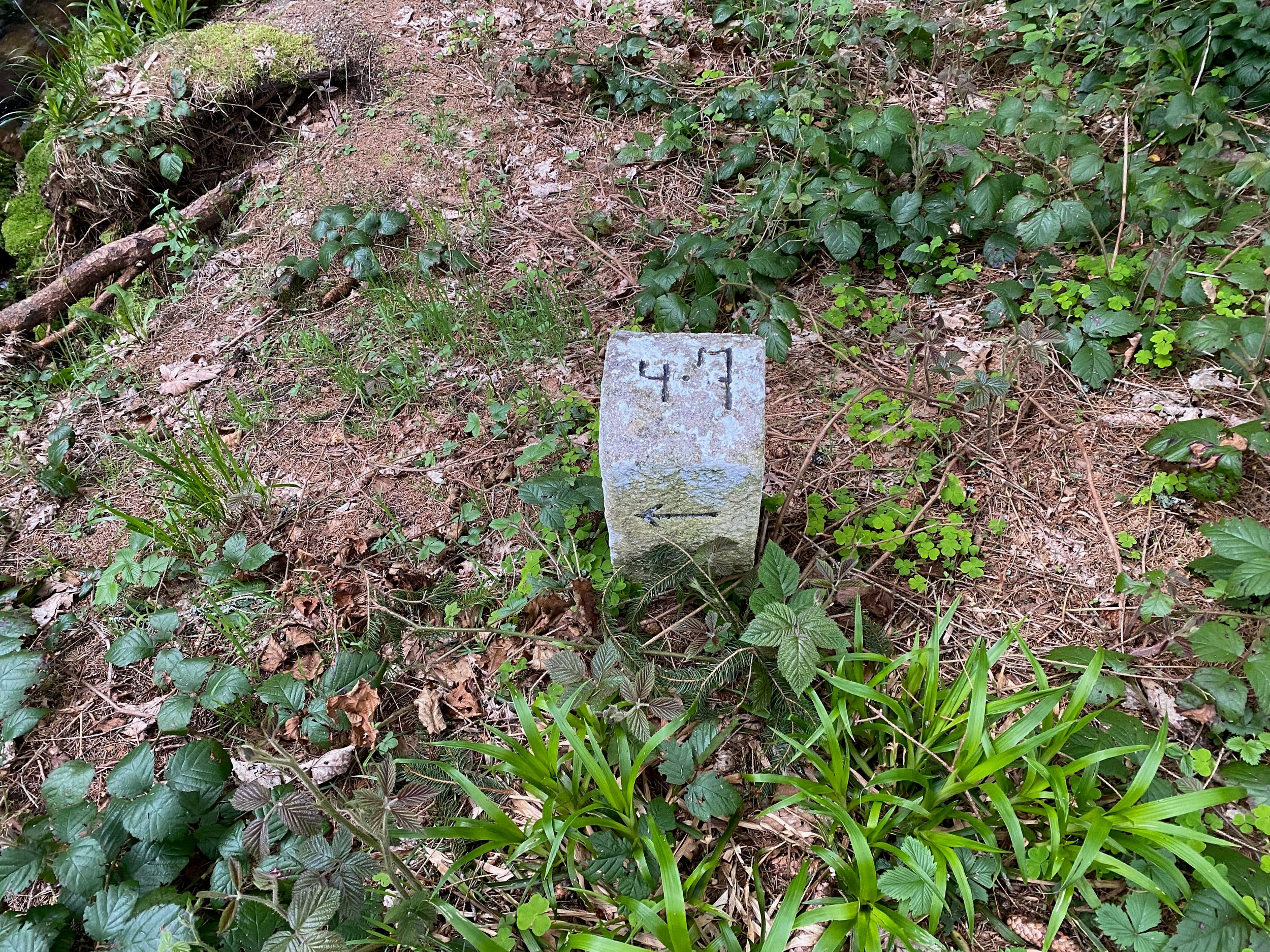
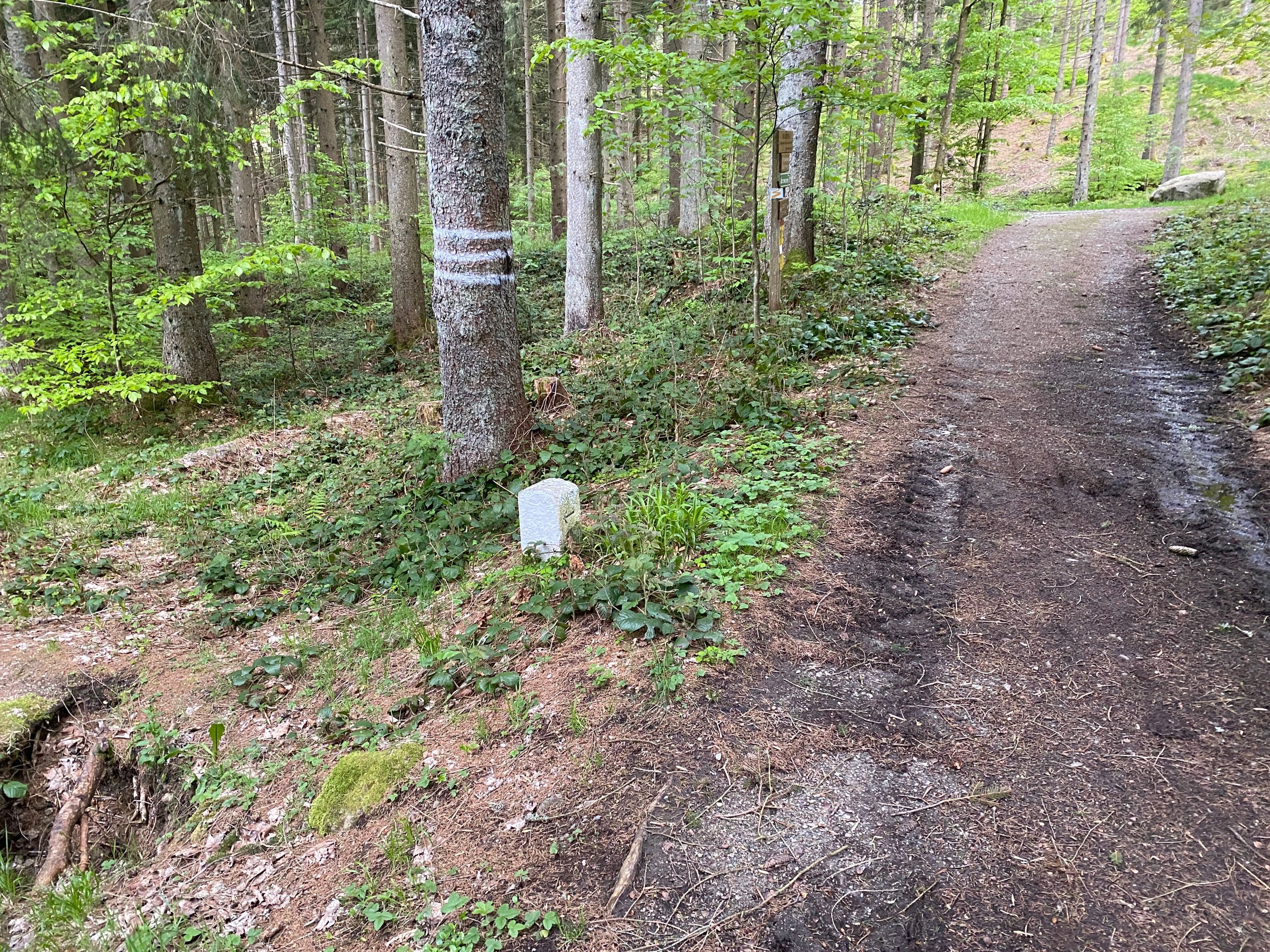
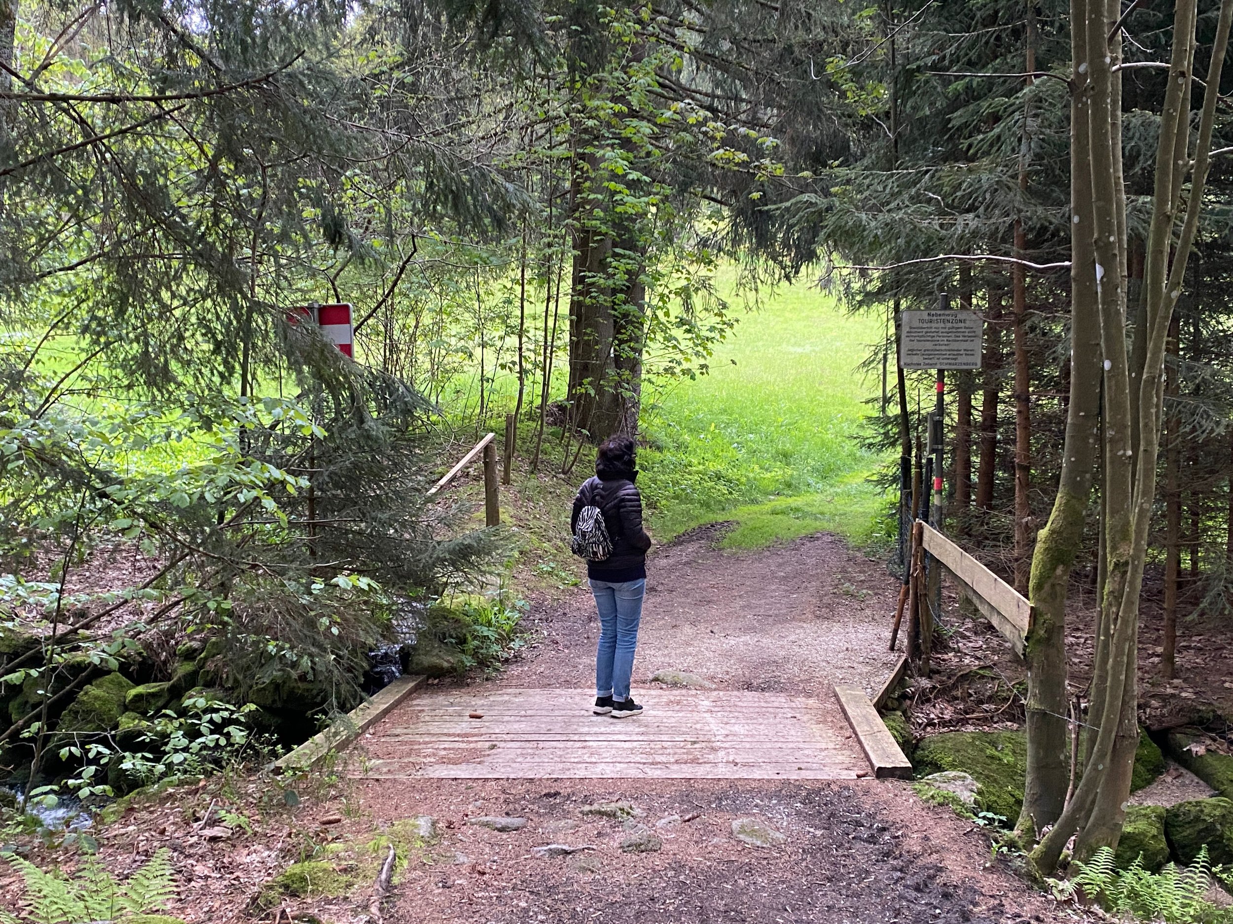
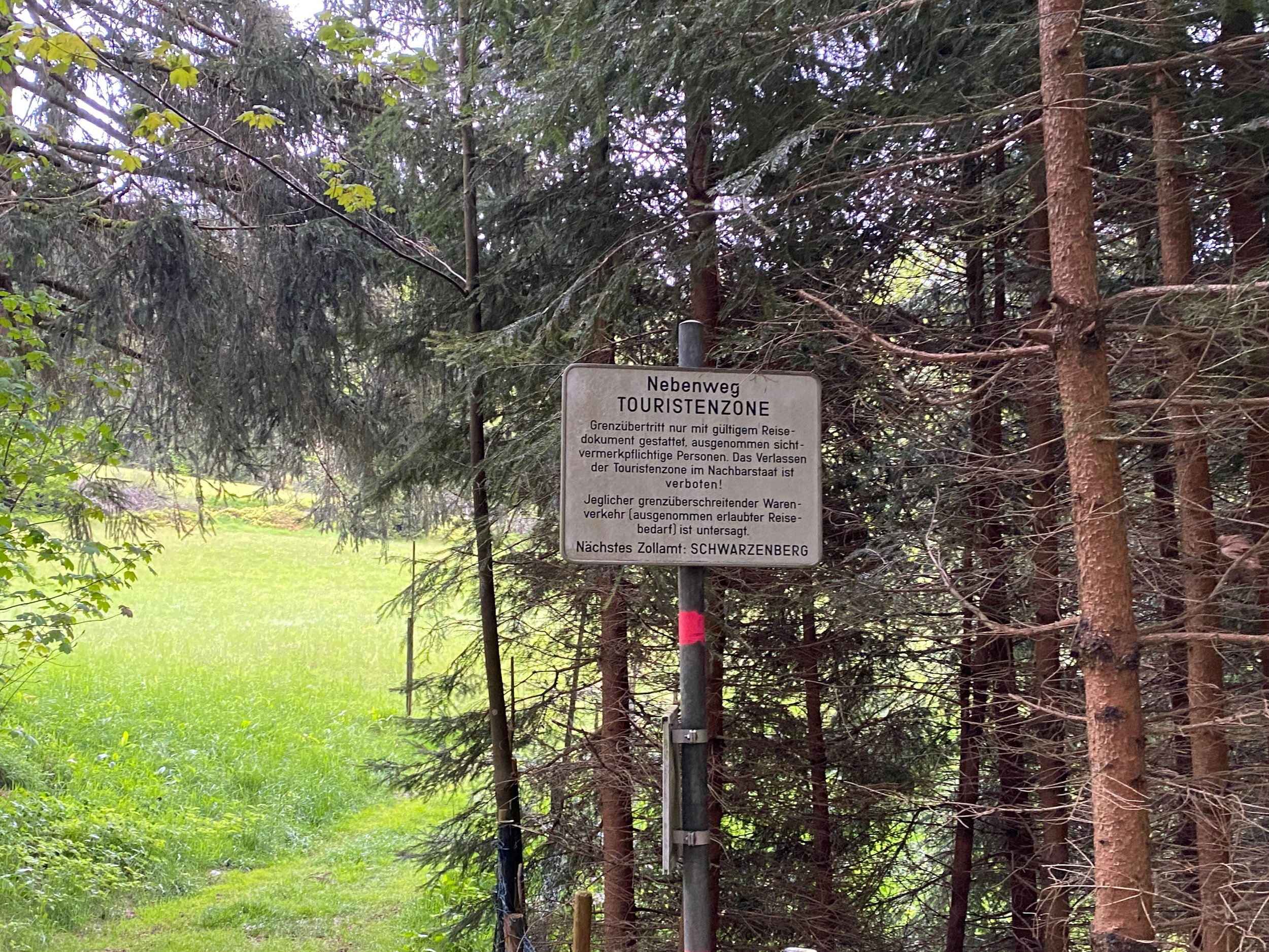
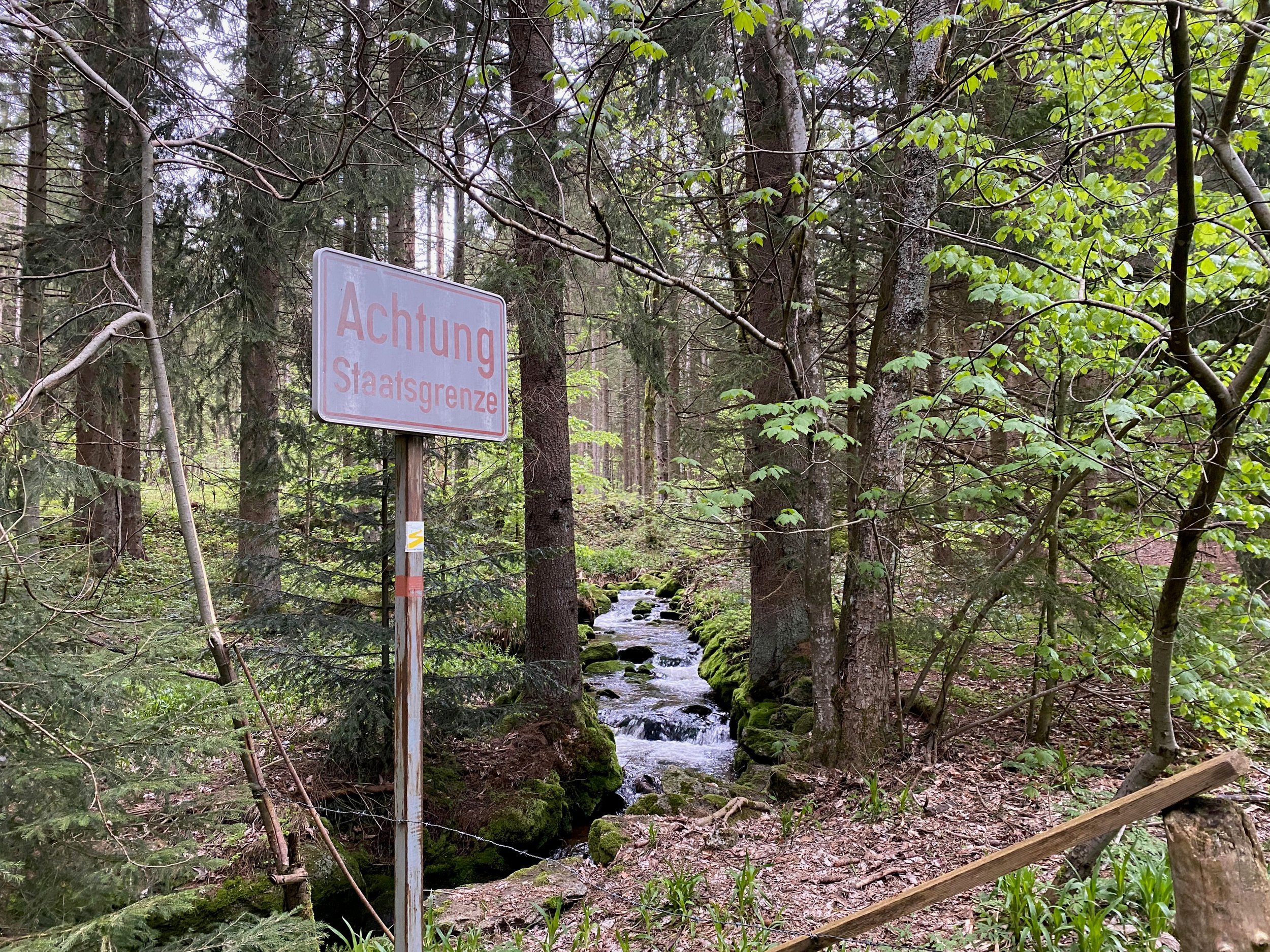
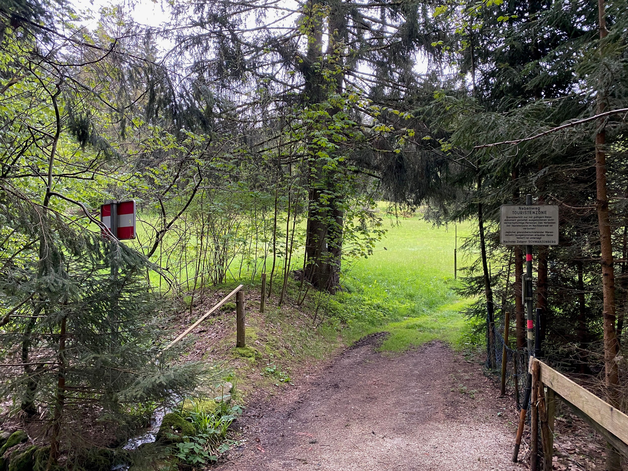
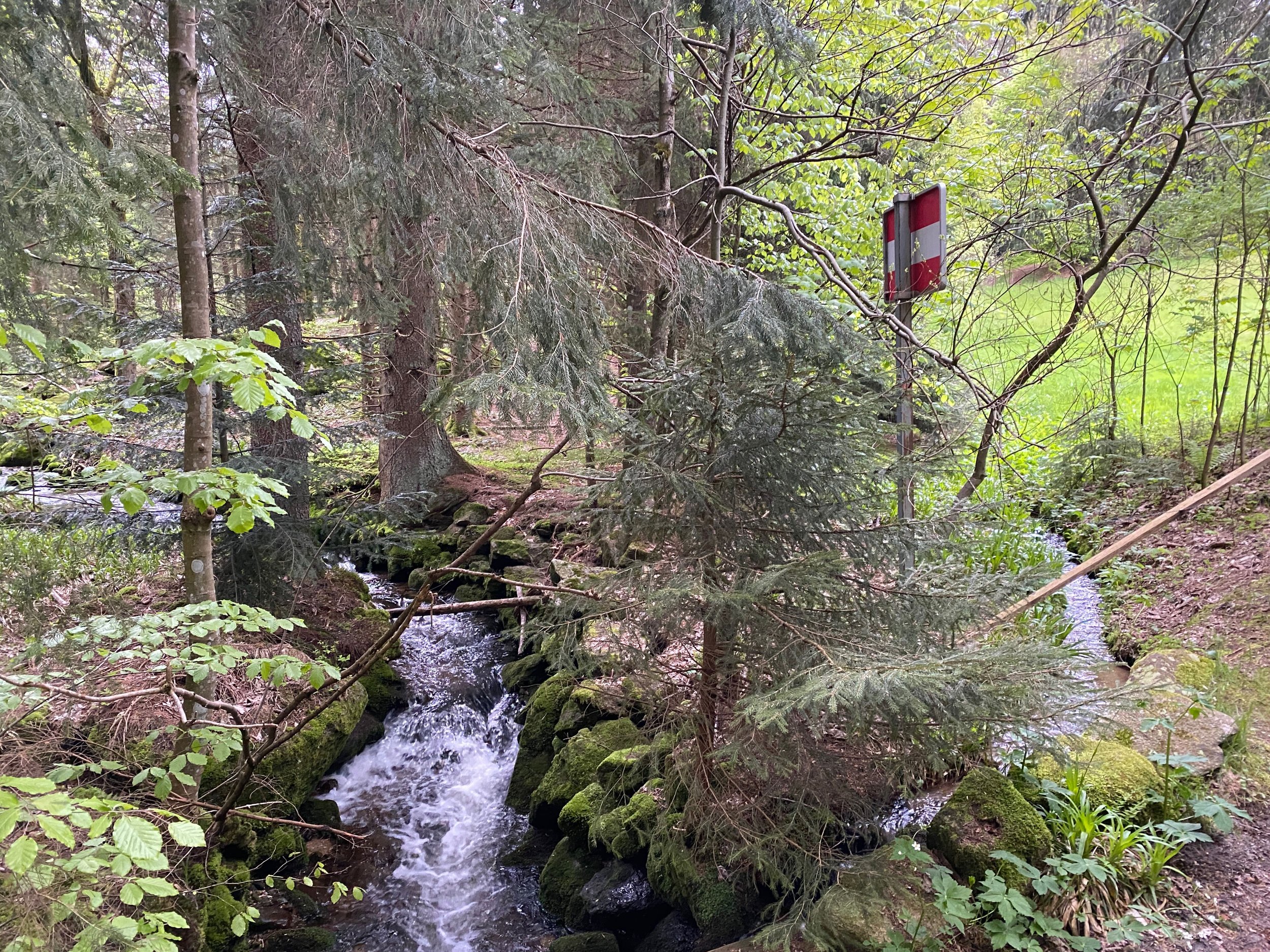
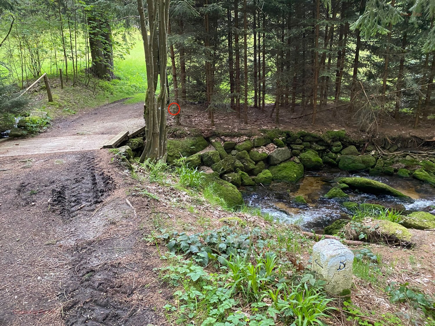
The hike (4 km.) started slowely, up mountain, through an amazing wood with the the border (the Gegenbach) mostly on our right hand.
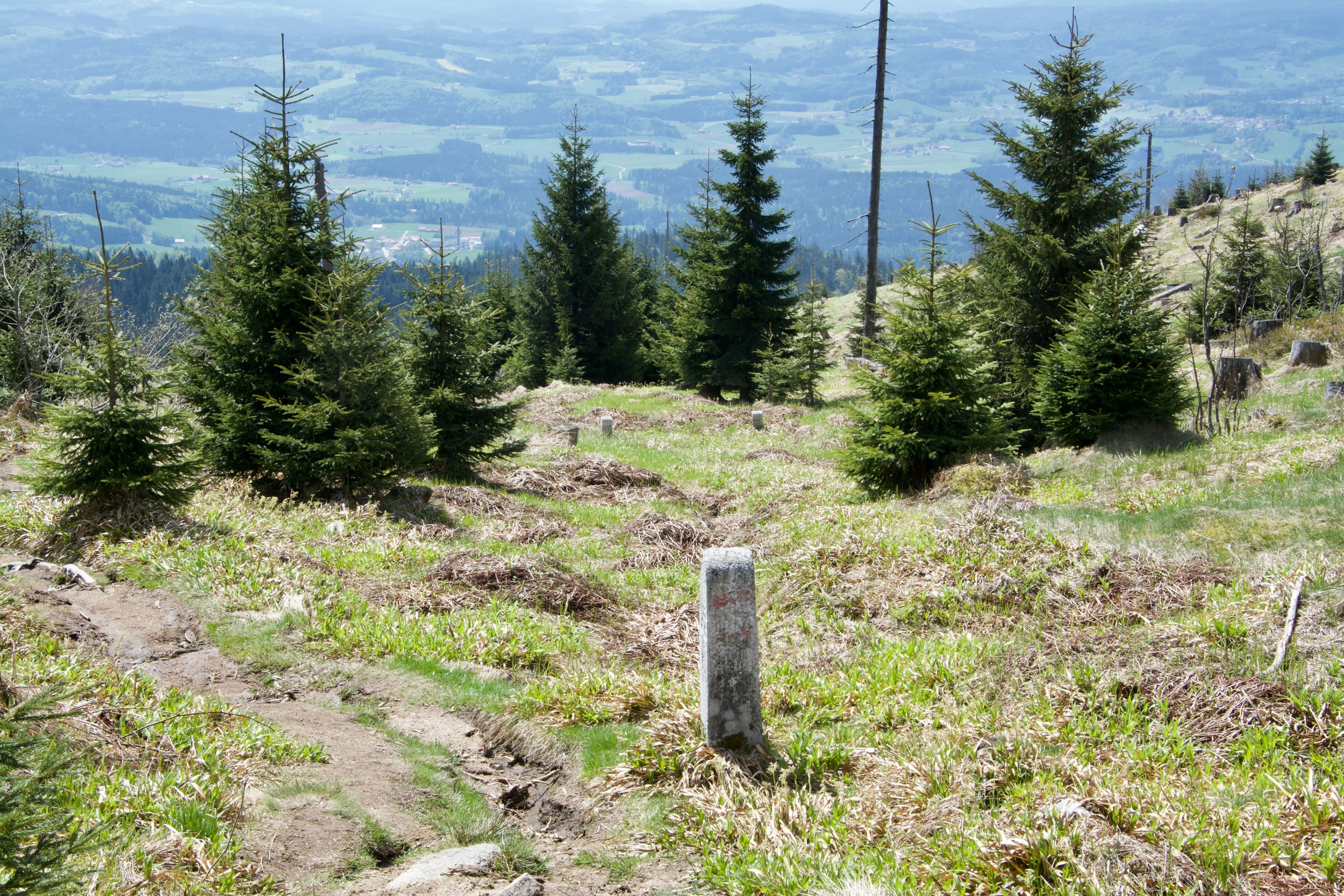
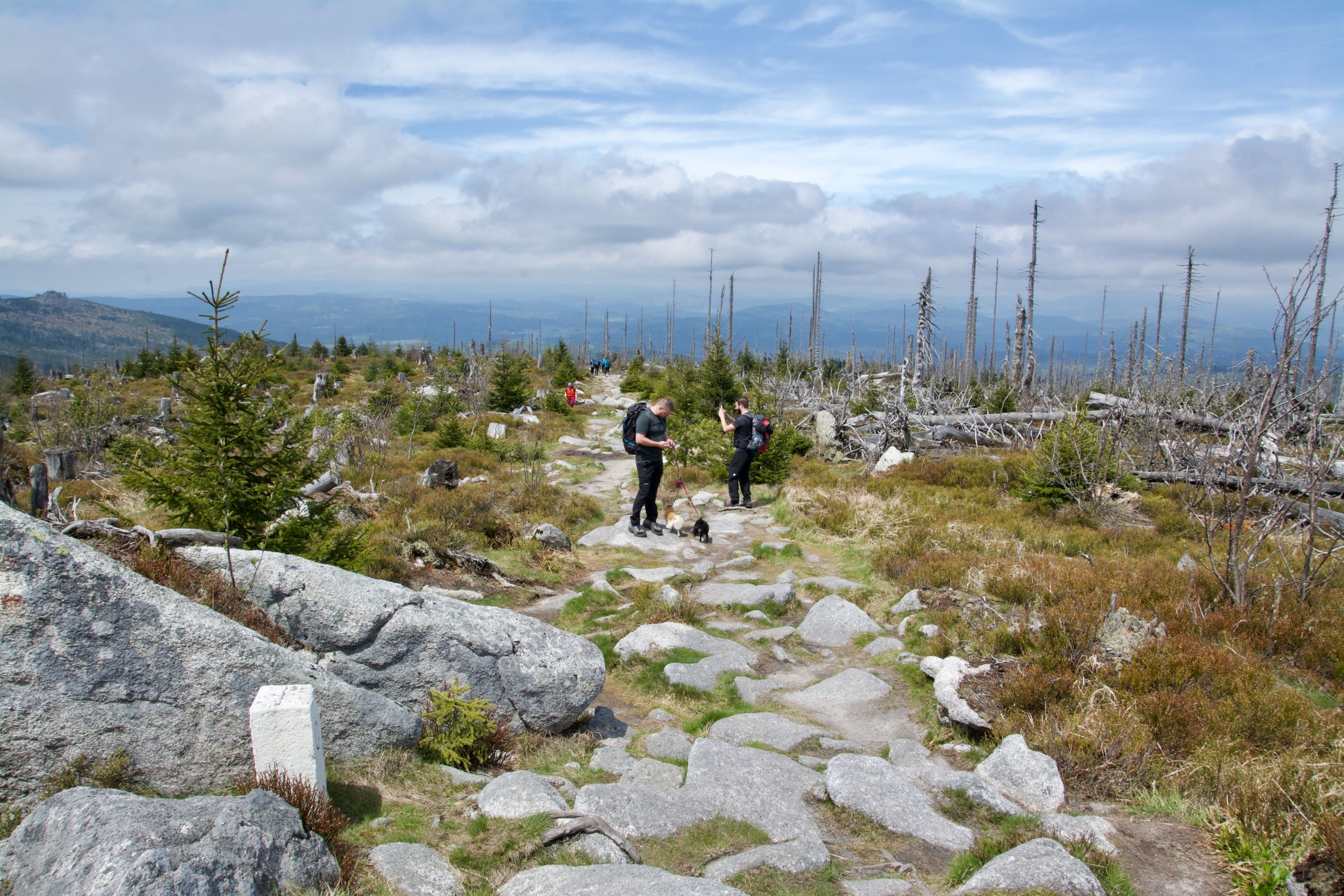
After passing an 'Alp' the hike got (for us) highly extreme. For over 2 km. it was hiking up over a small 'path' with only rocks, mostly with an average >12%.

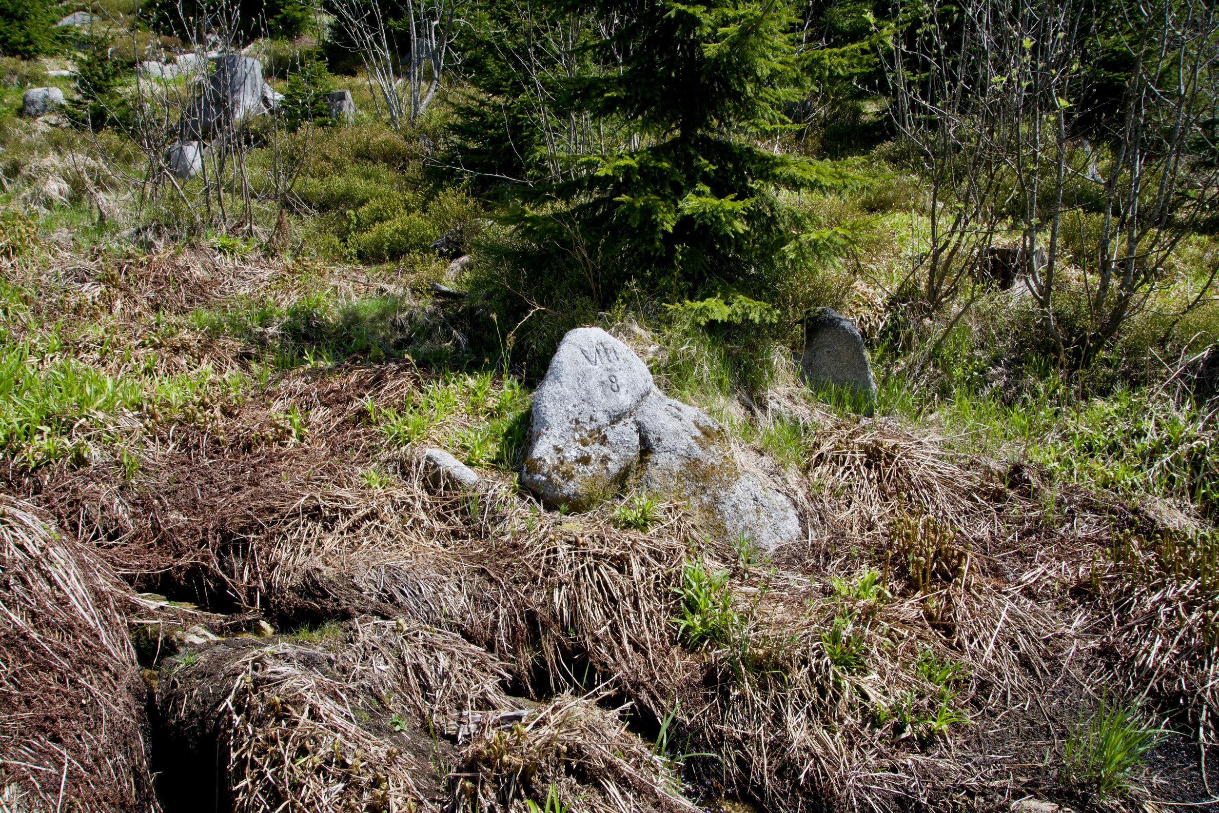
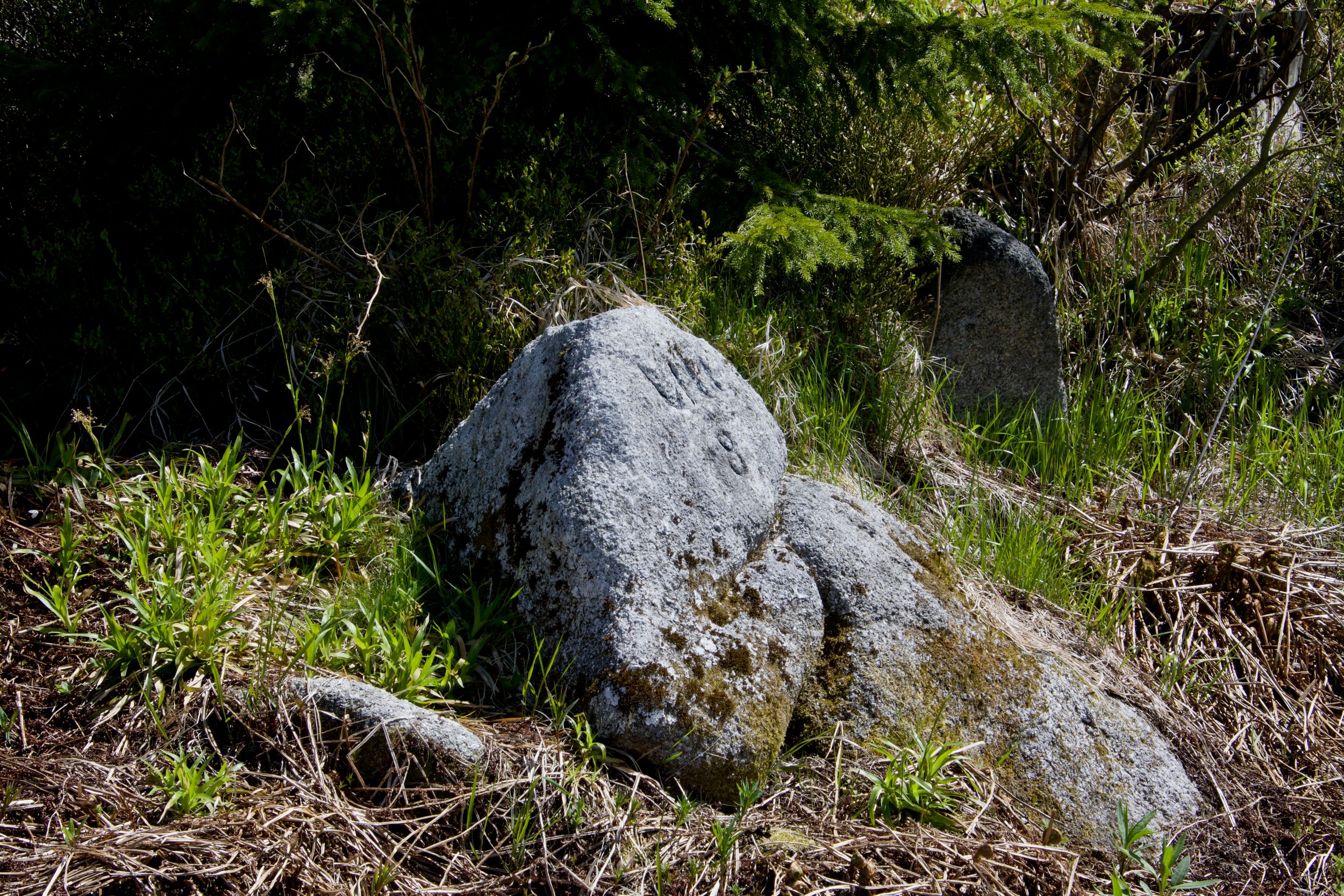
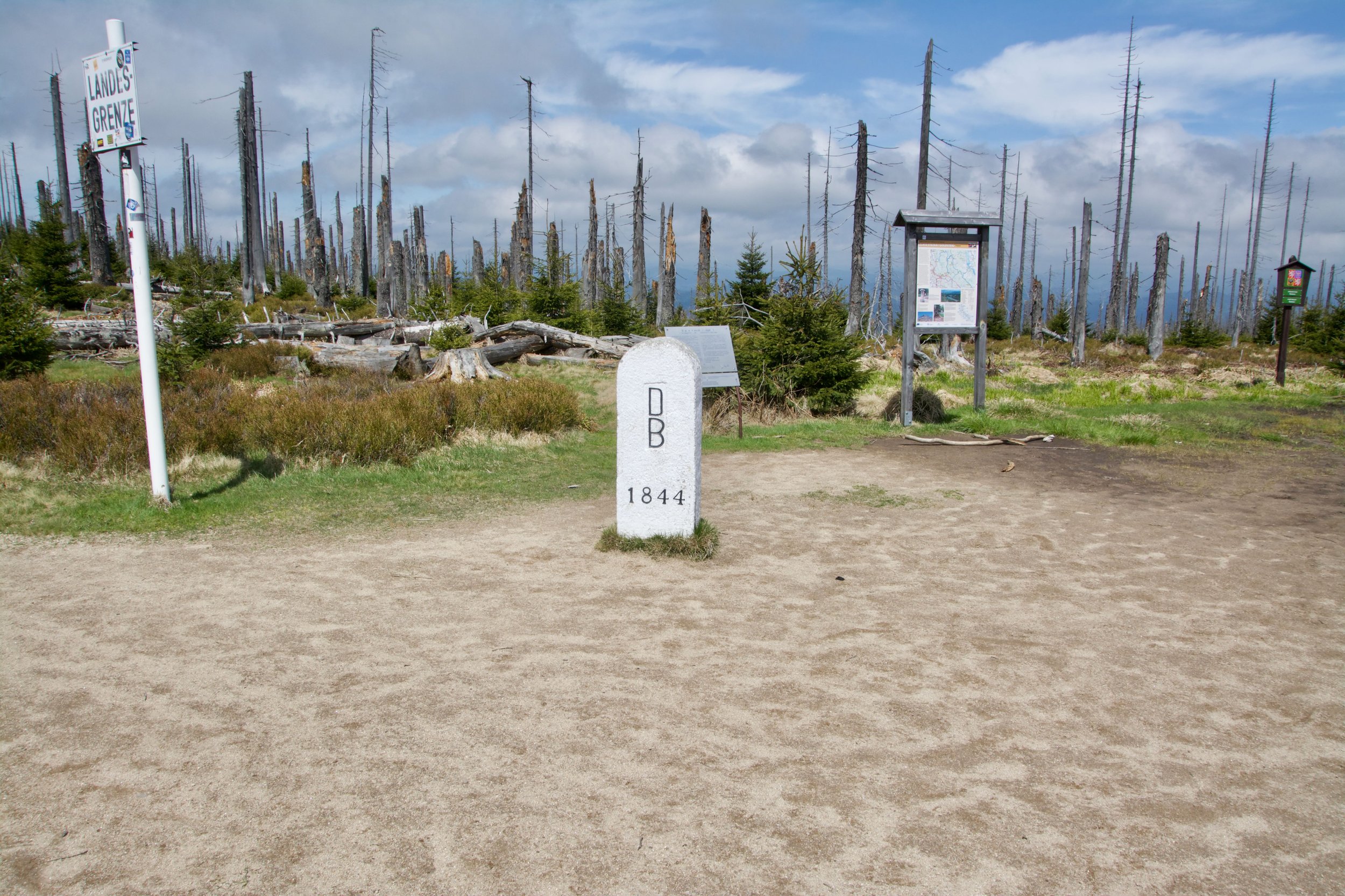
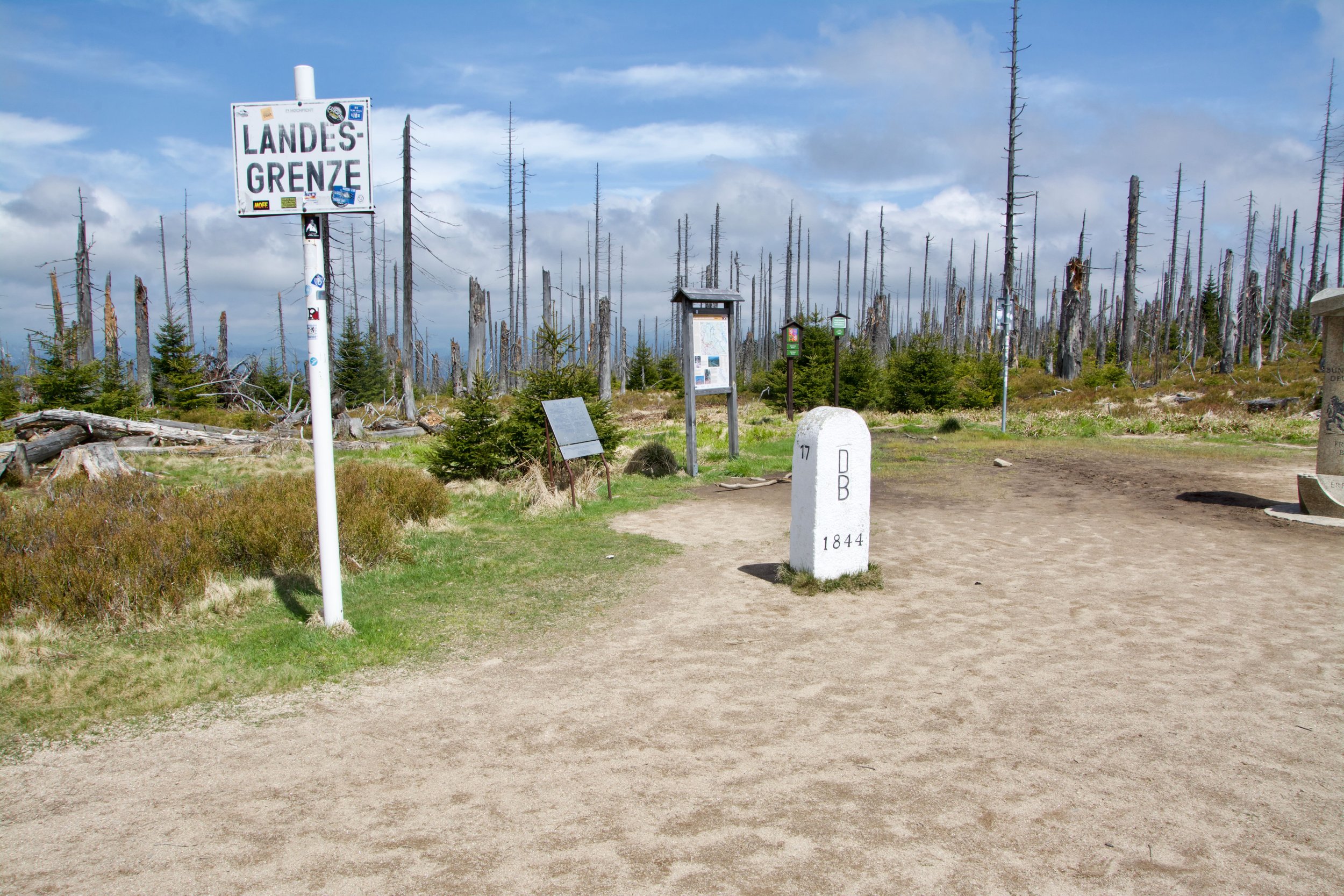
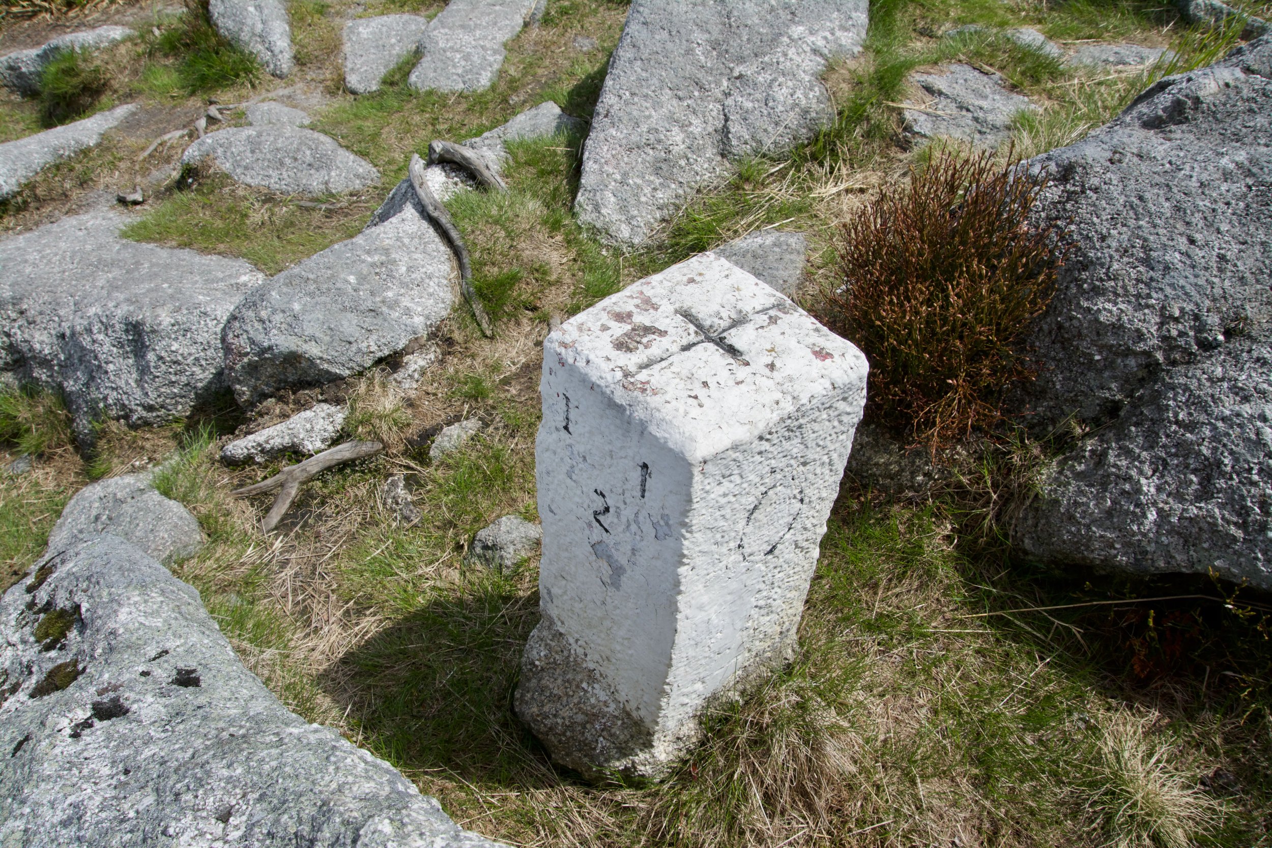
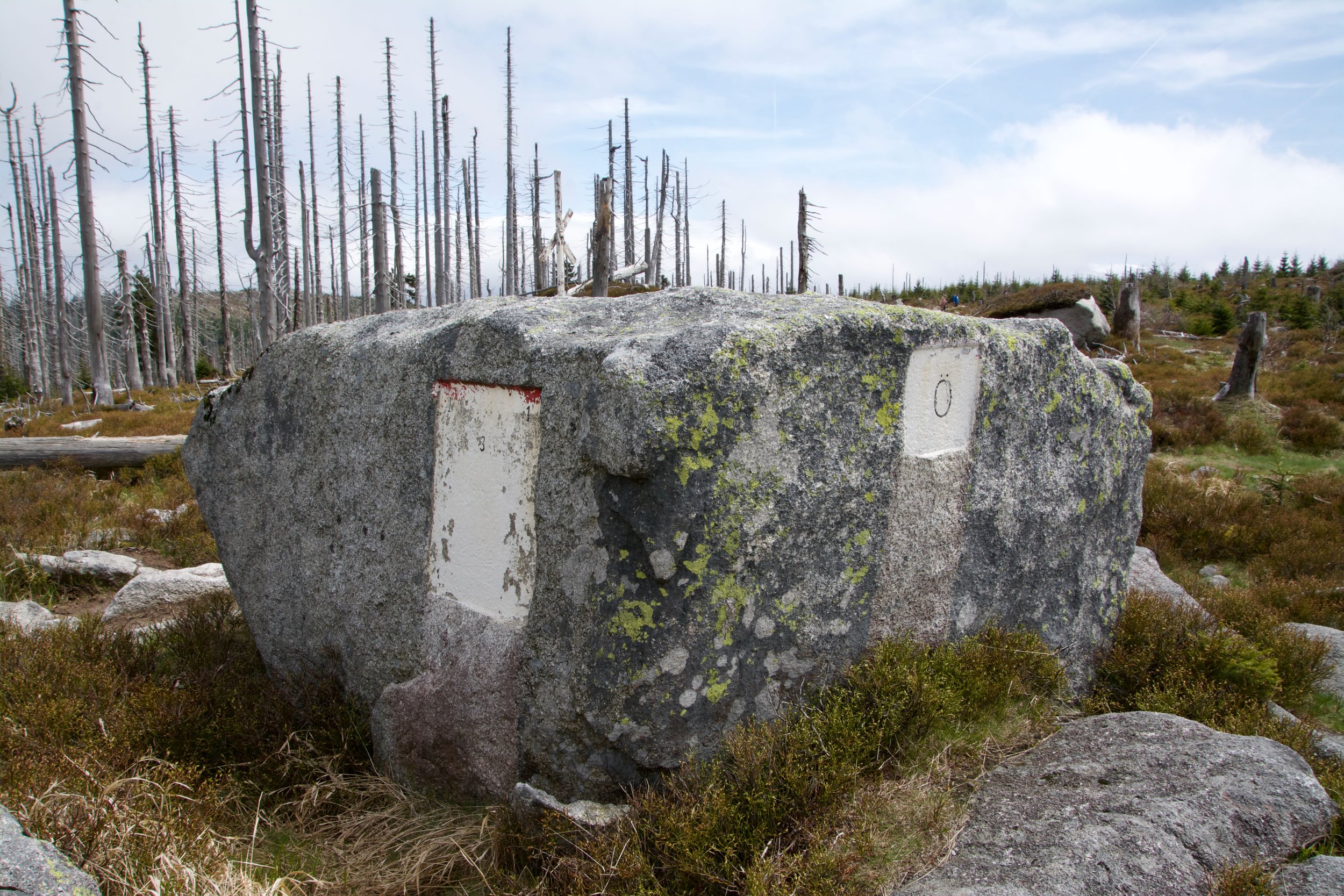
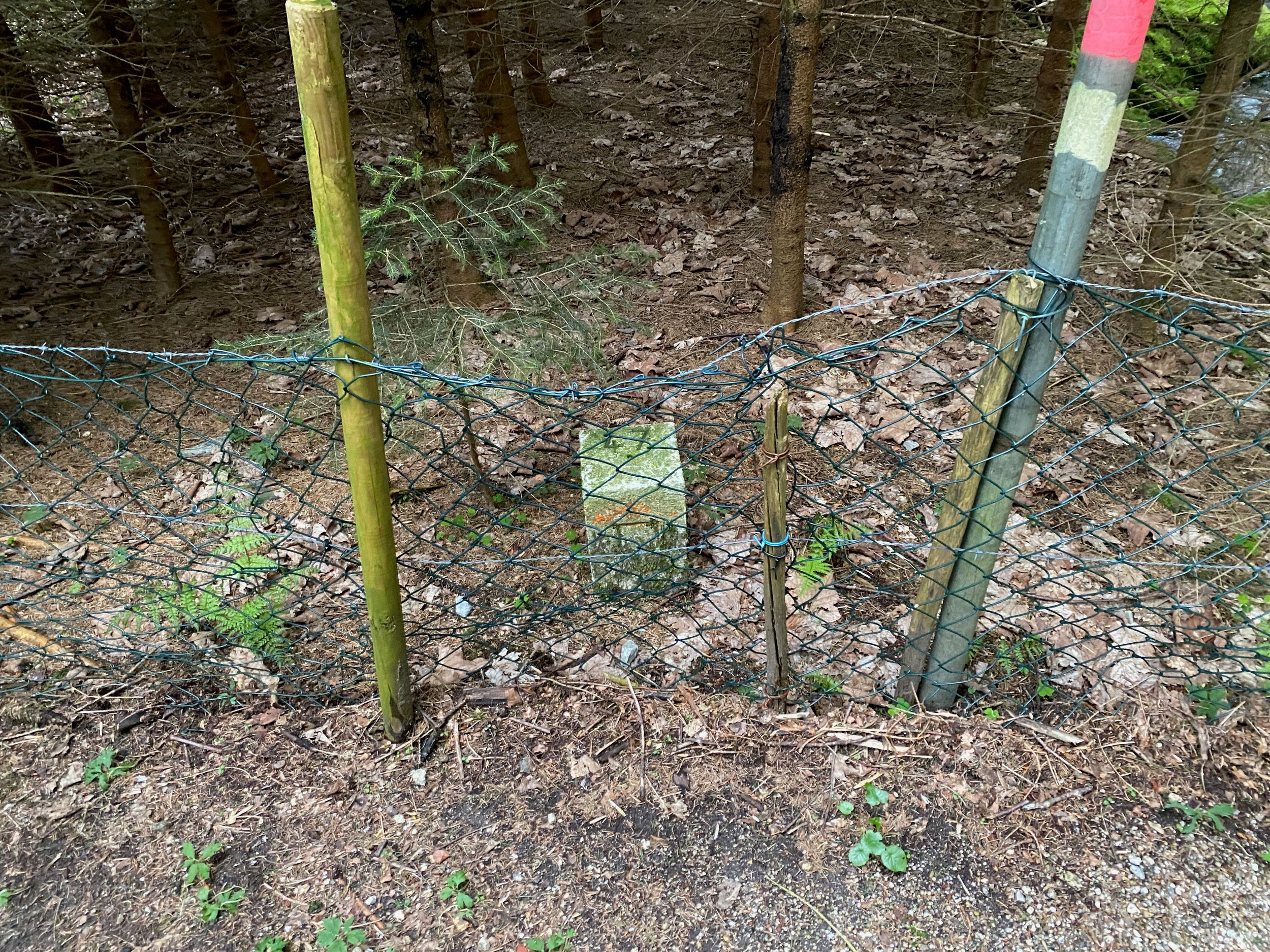
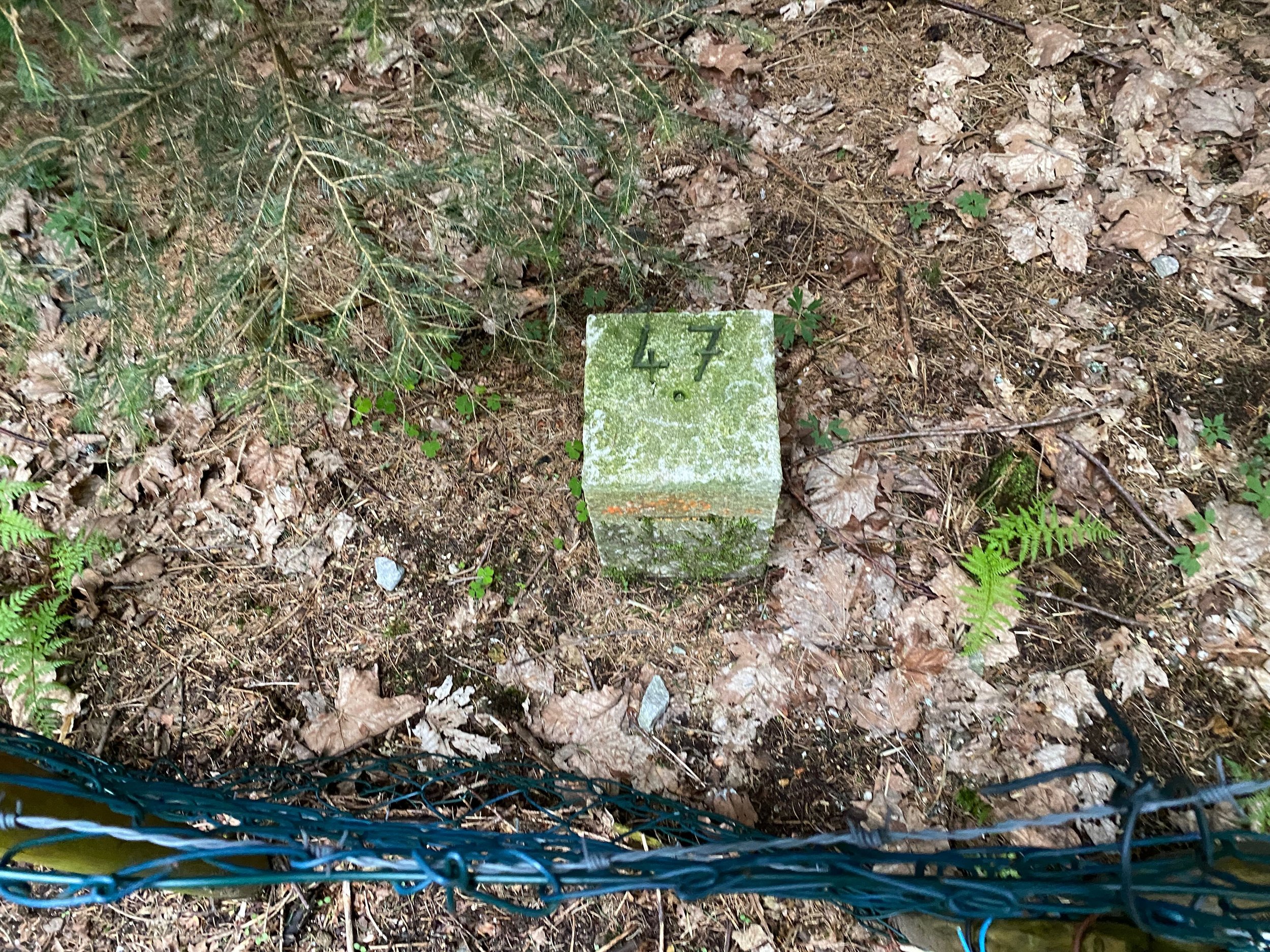
Bordermarker CZ/DE
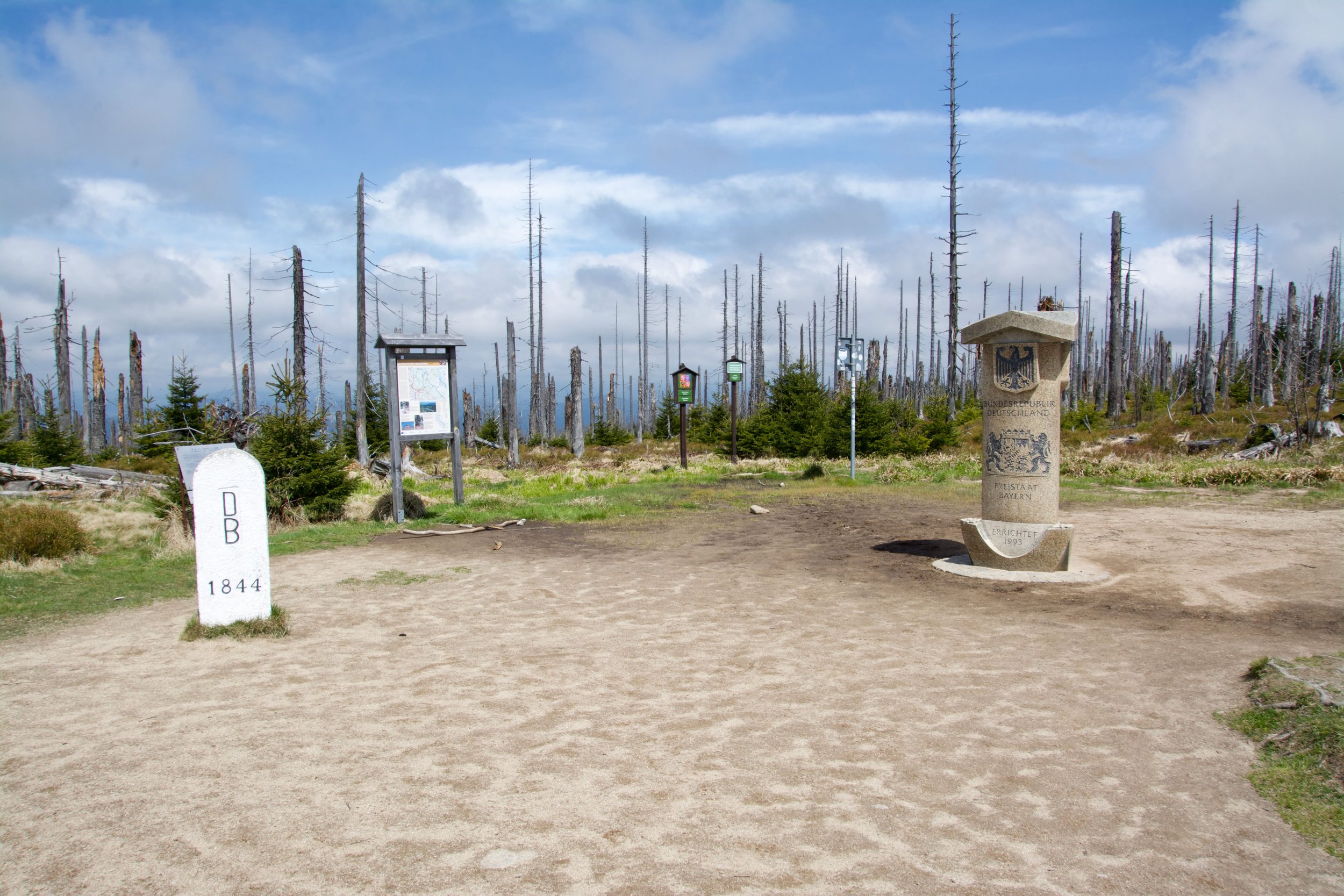
nr. 17 Placed in 1844
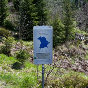
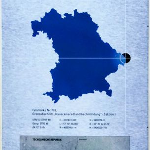
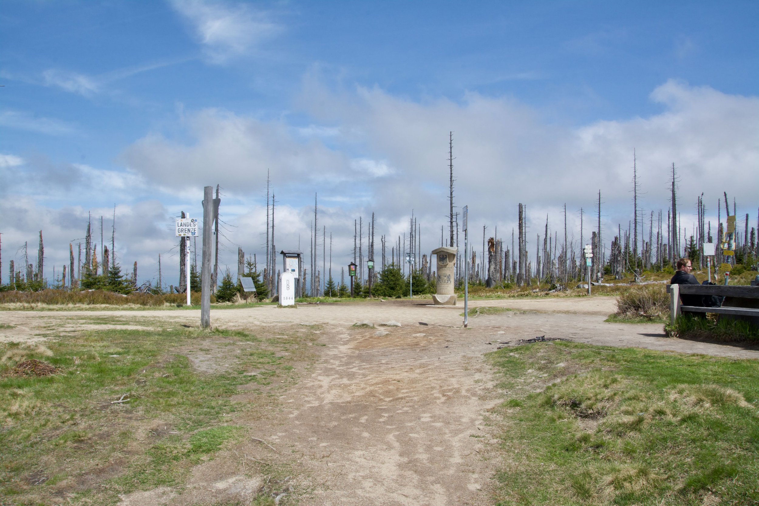
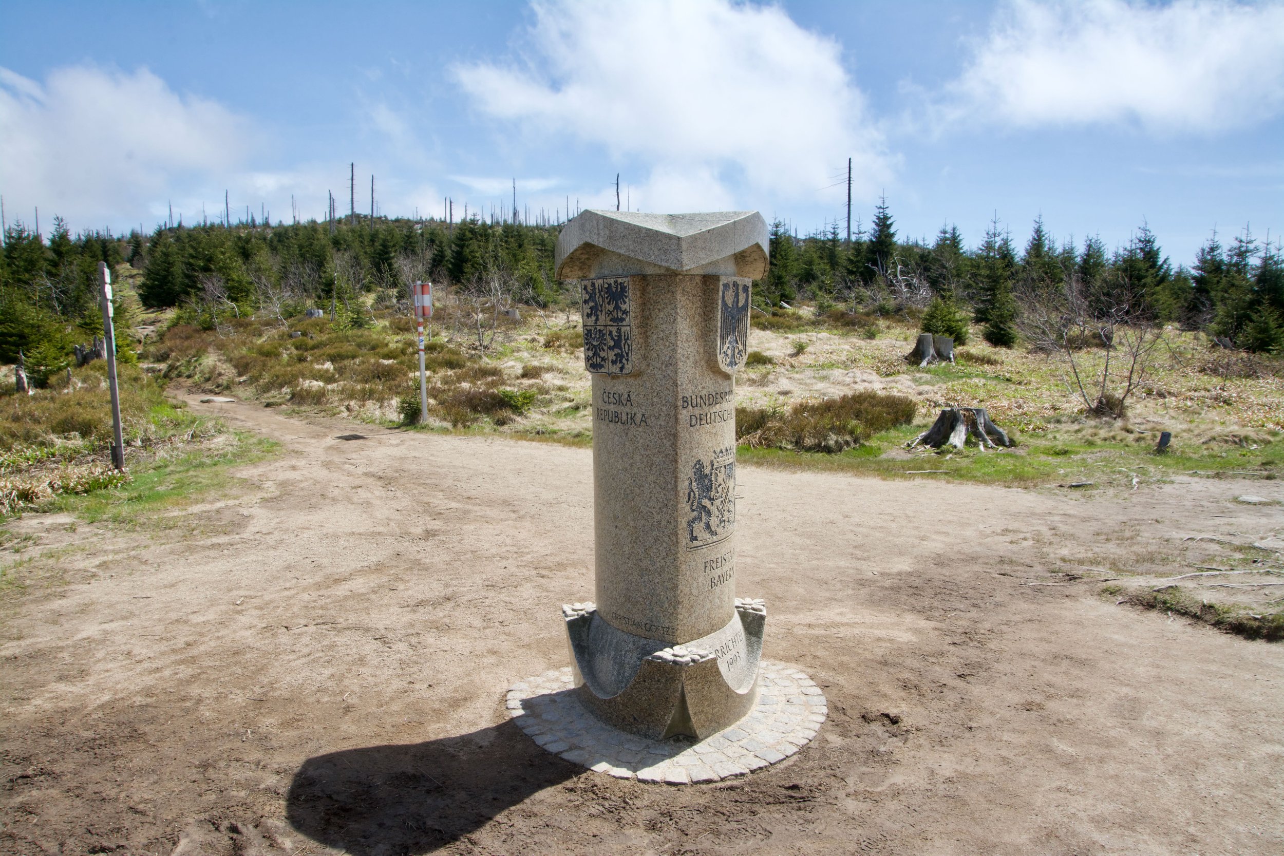
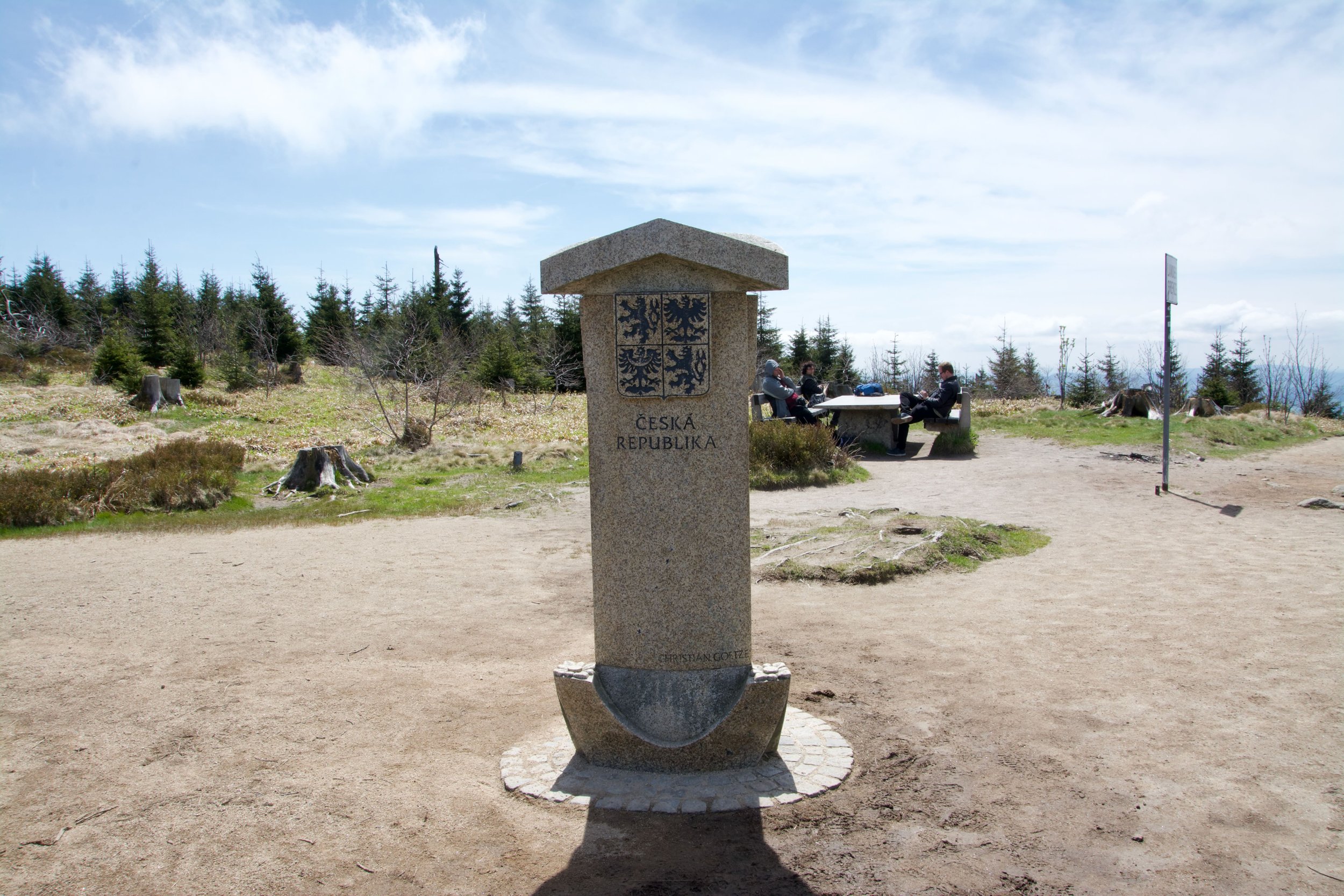
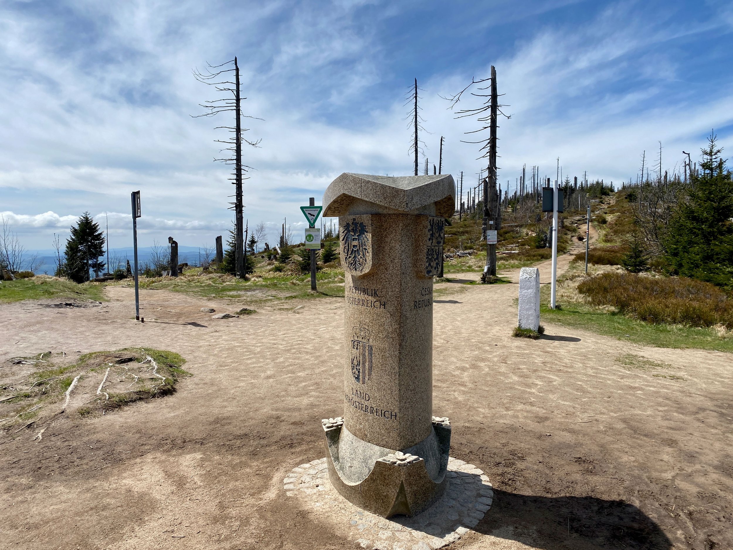
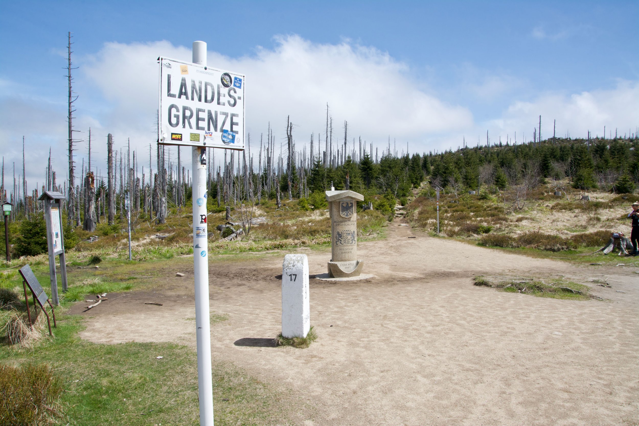
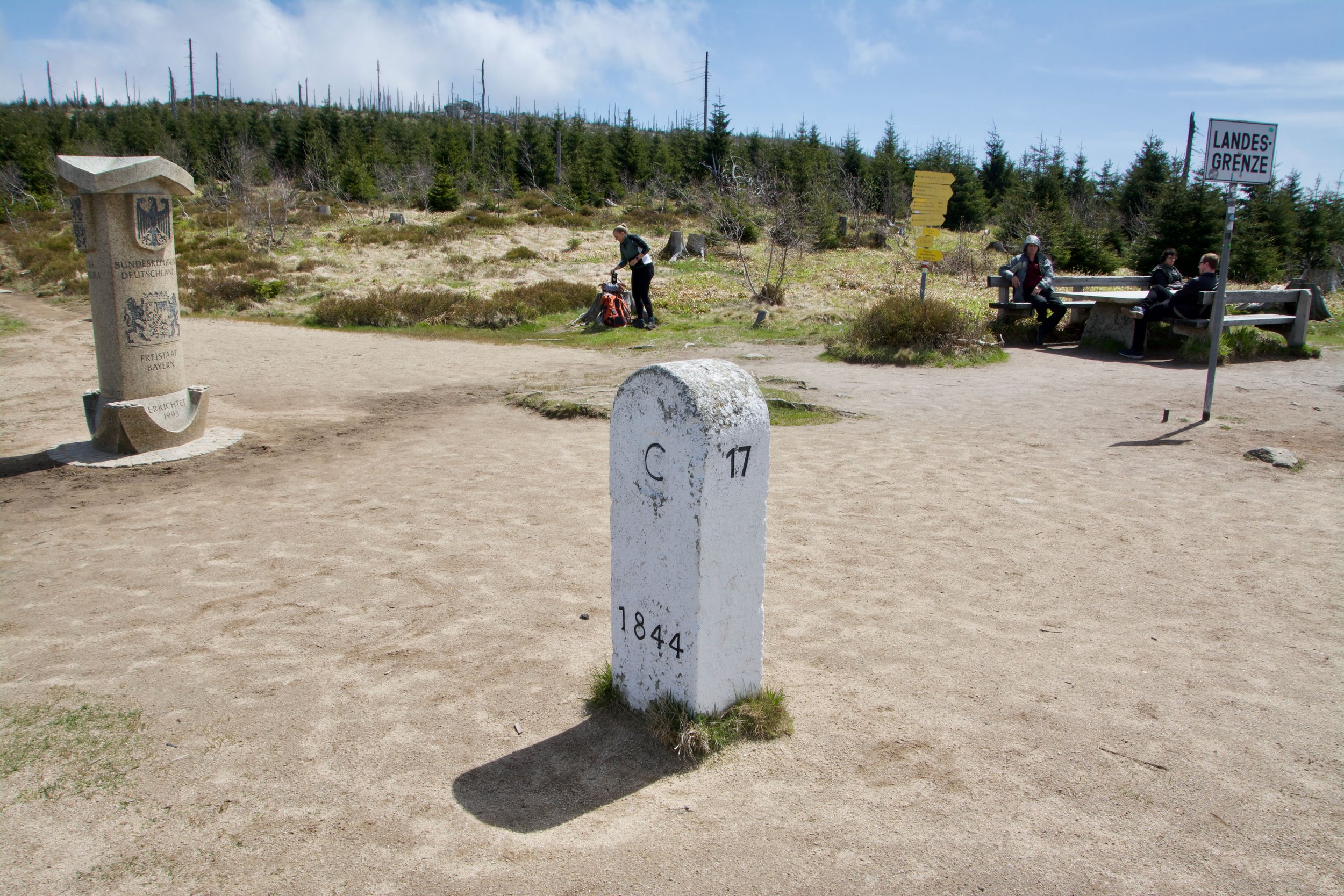
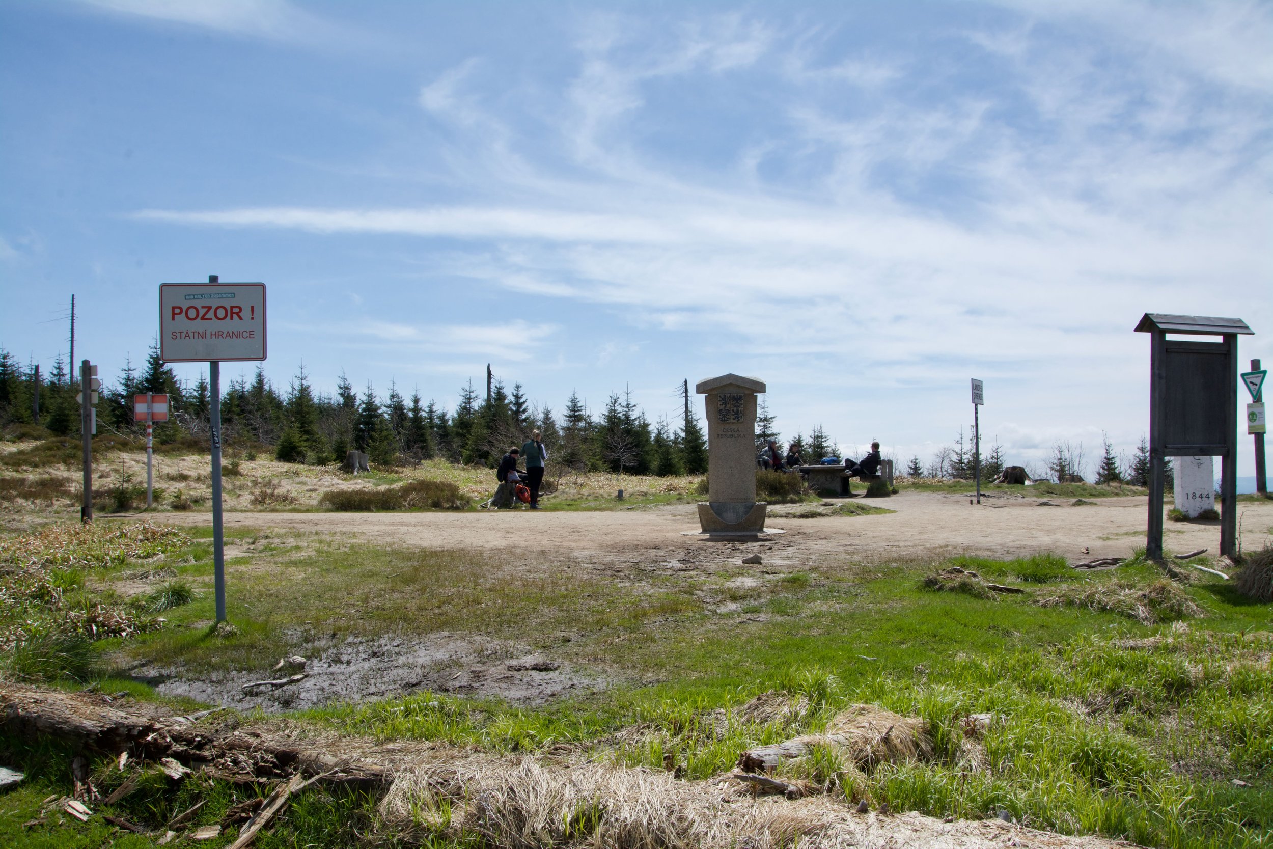
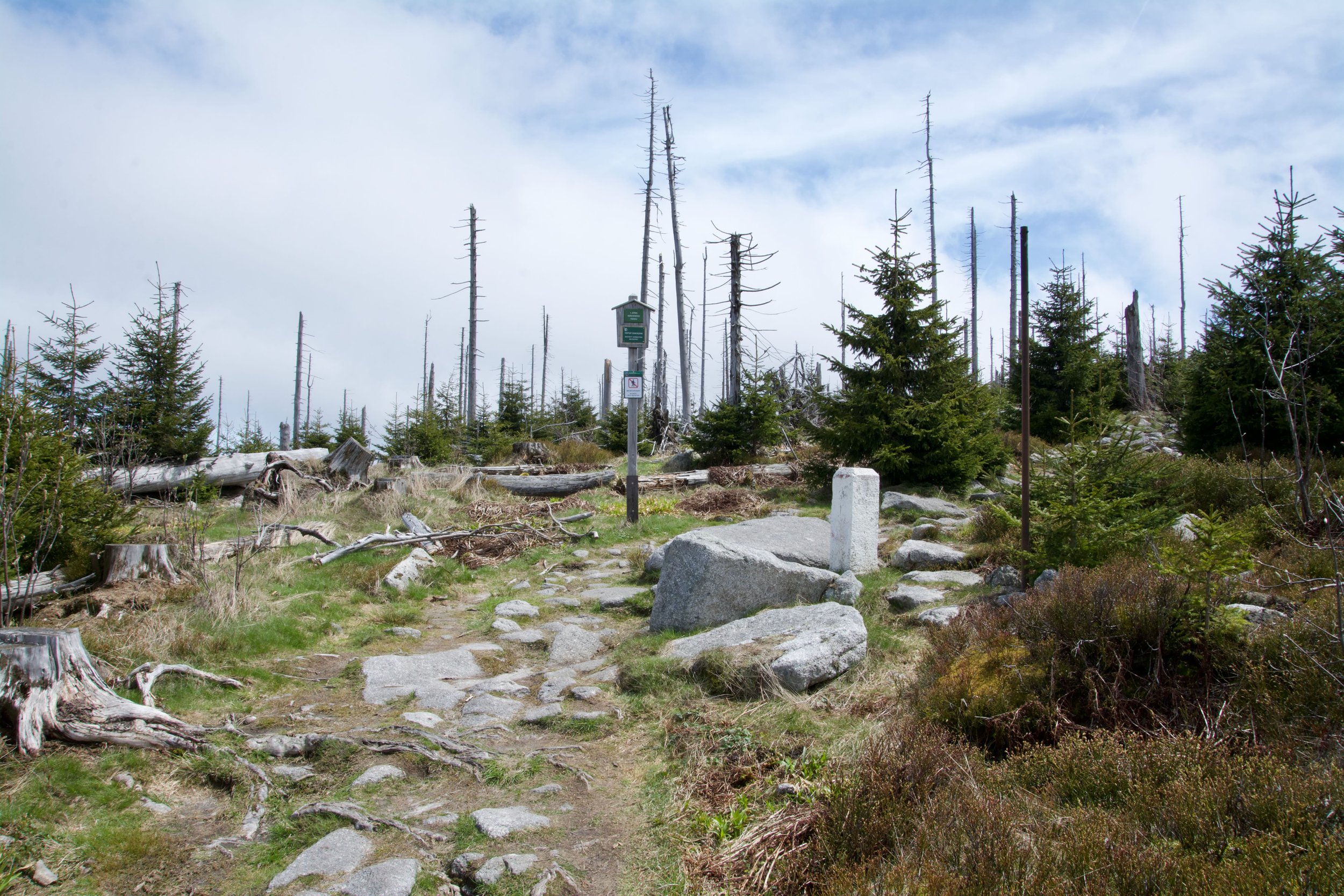
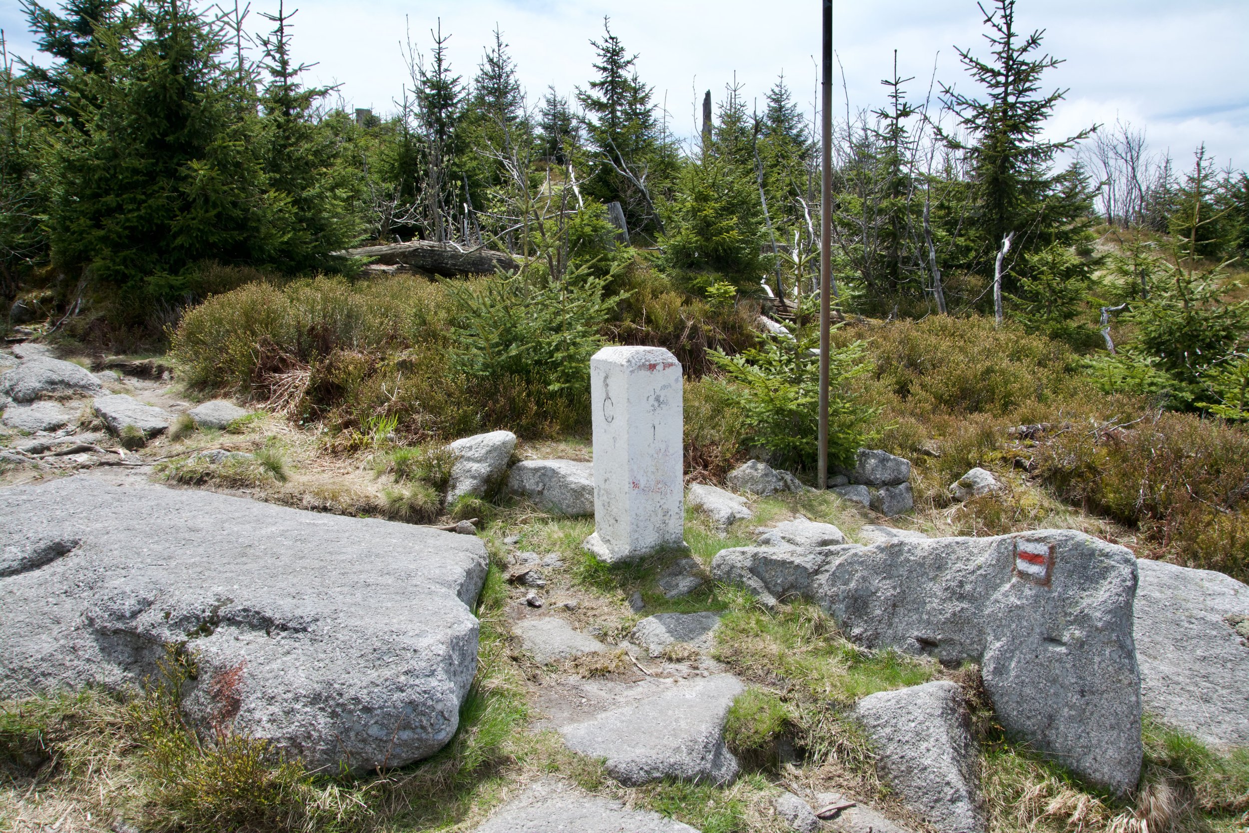
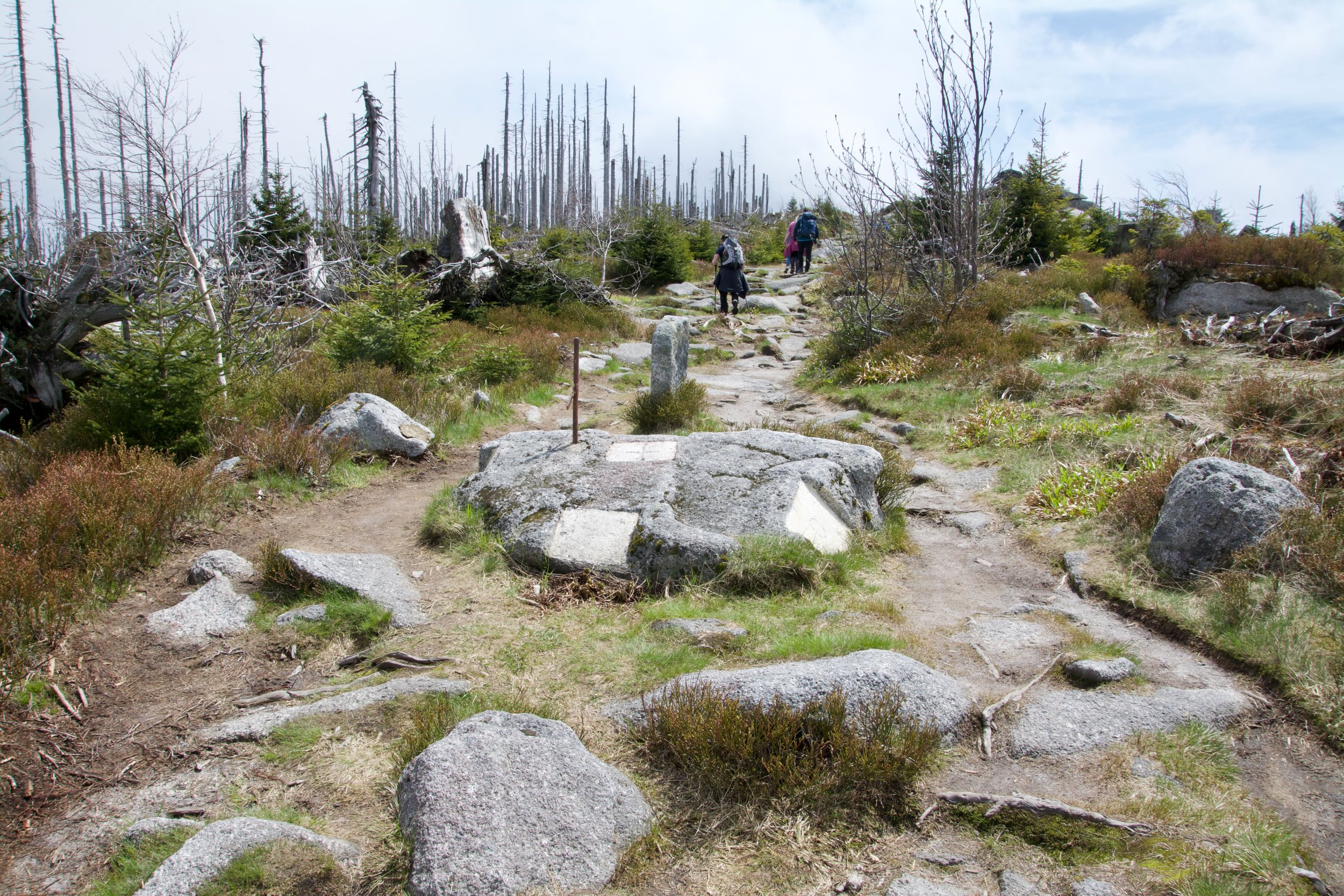
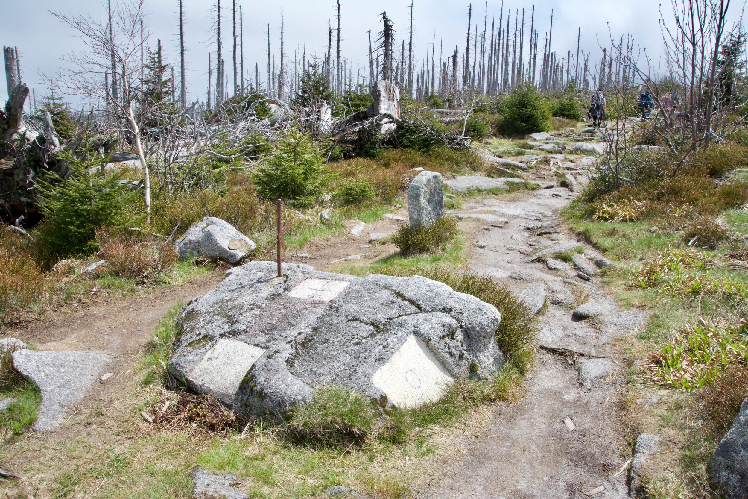
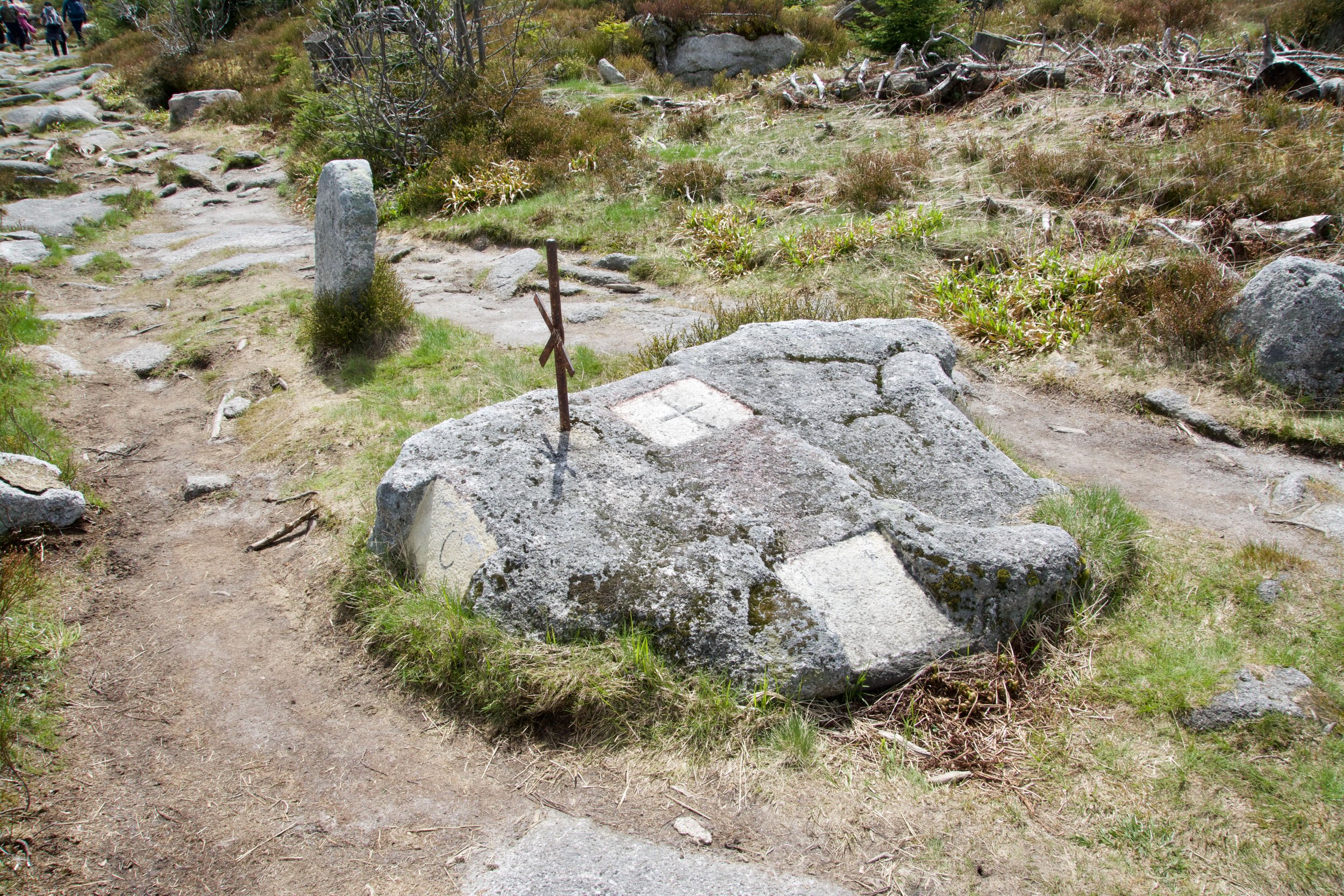
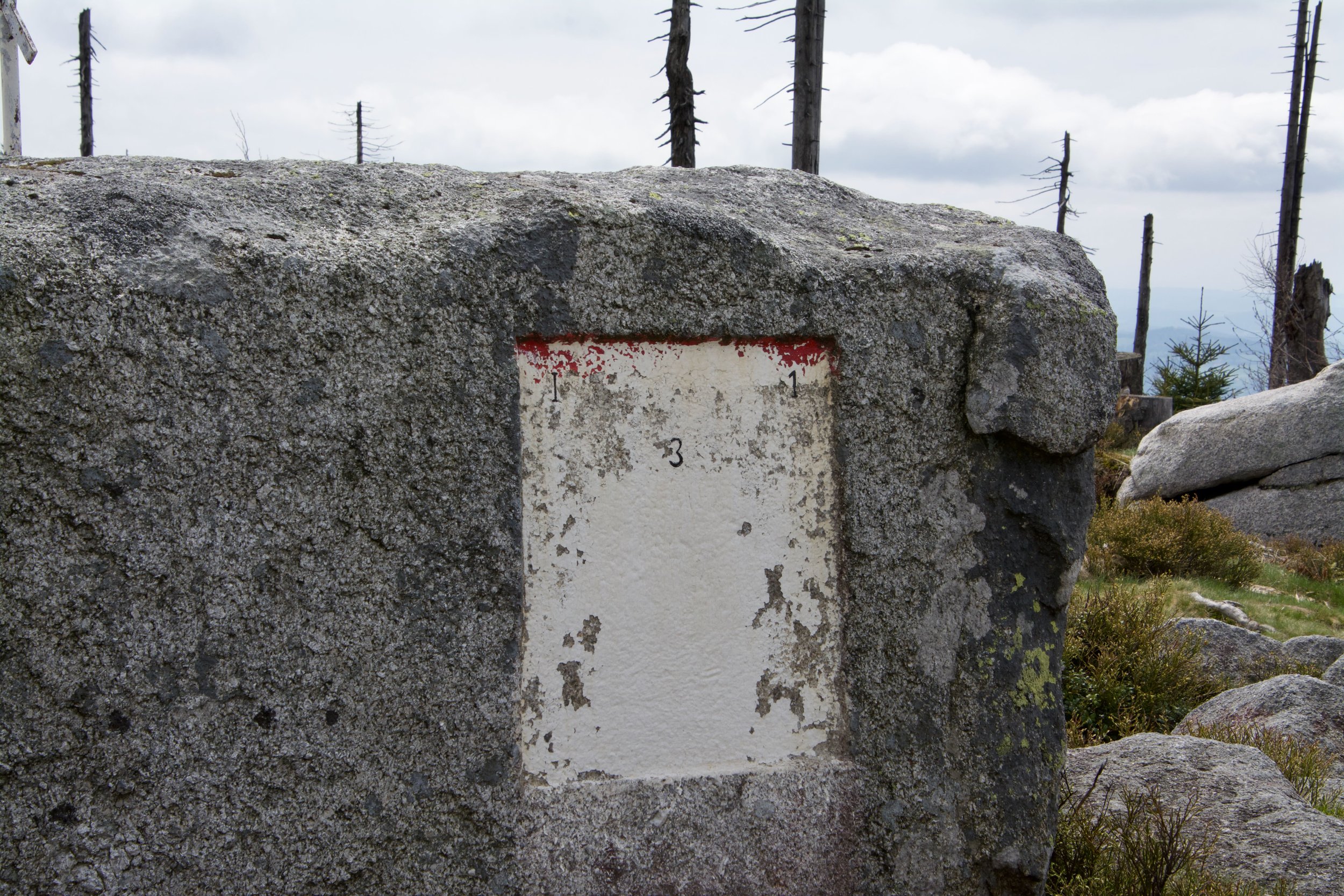
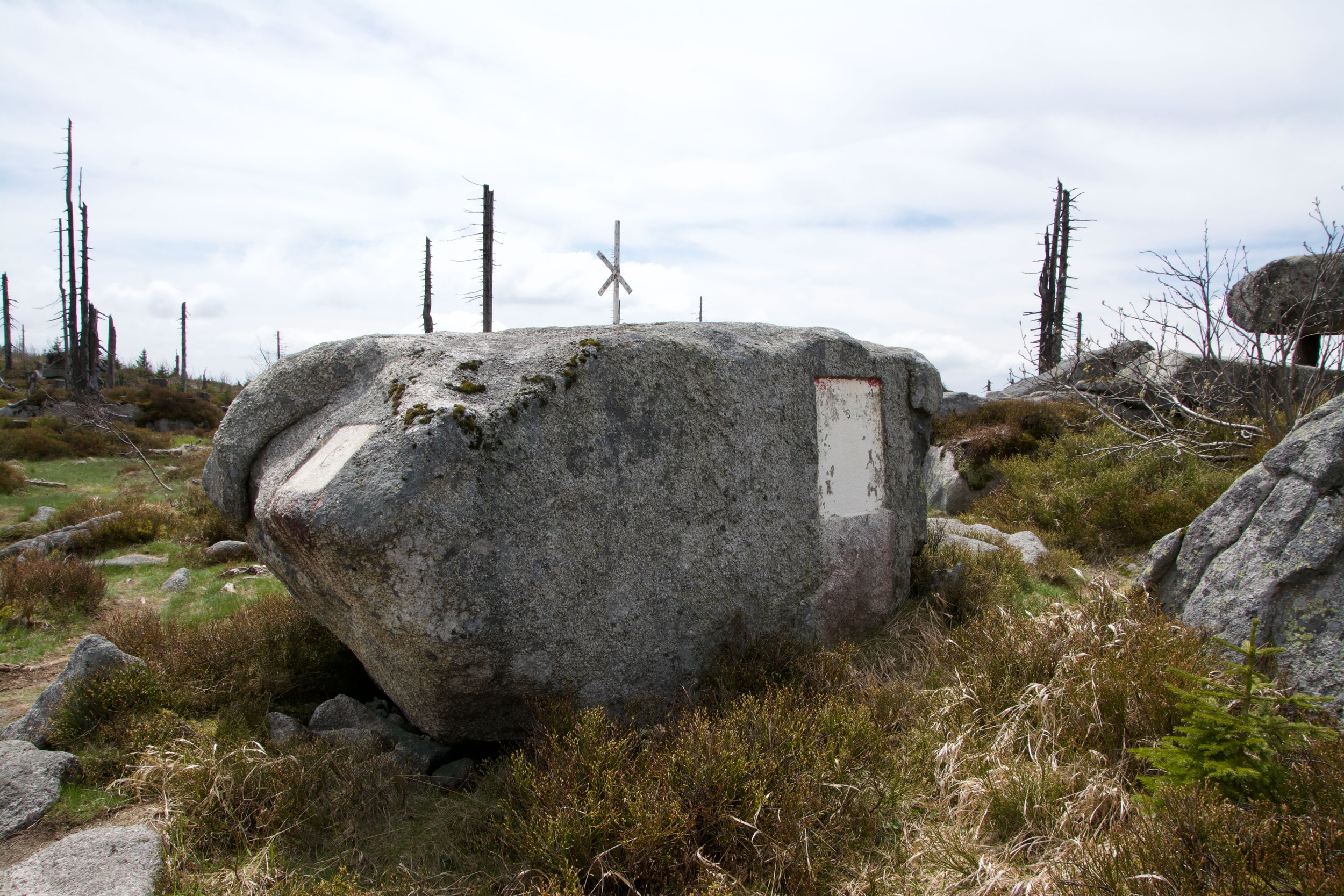
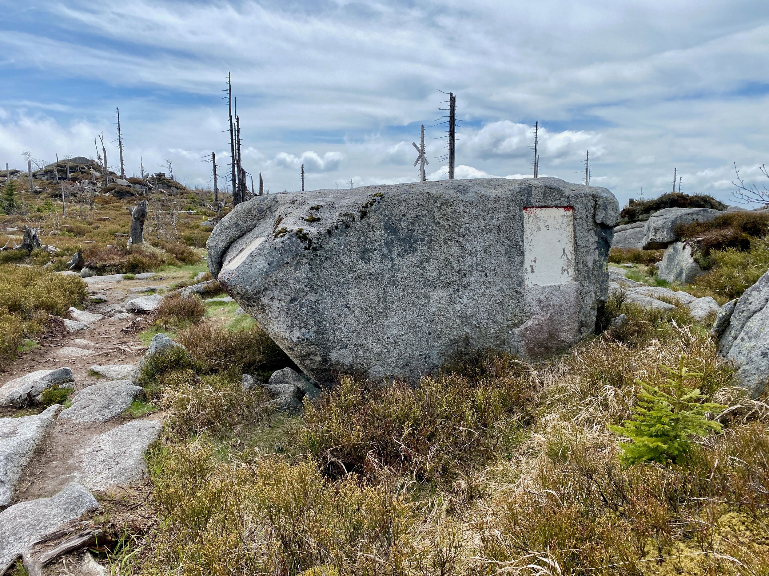
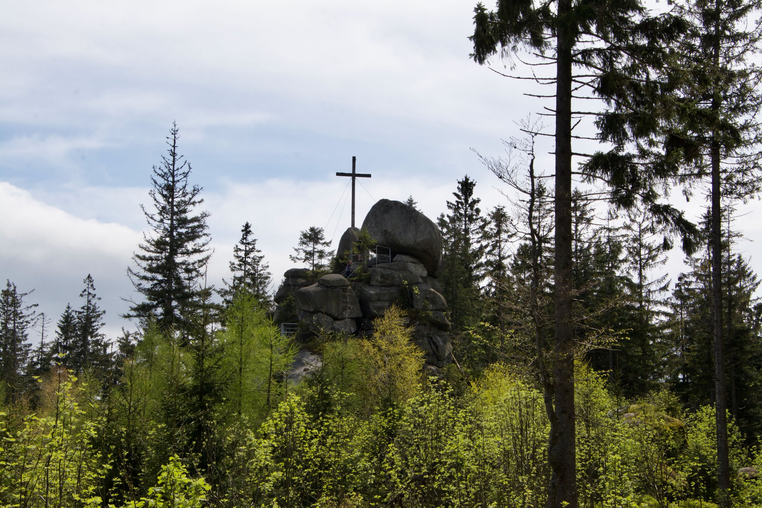
The tripoint marker
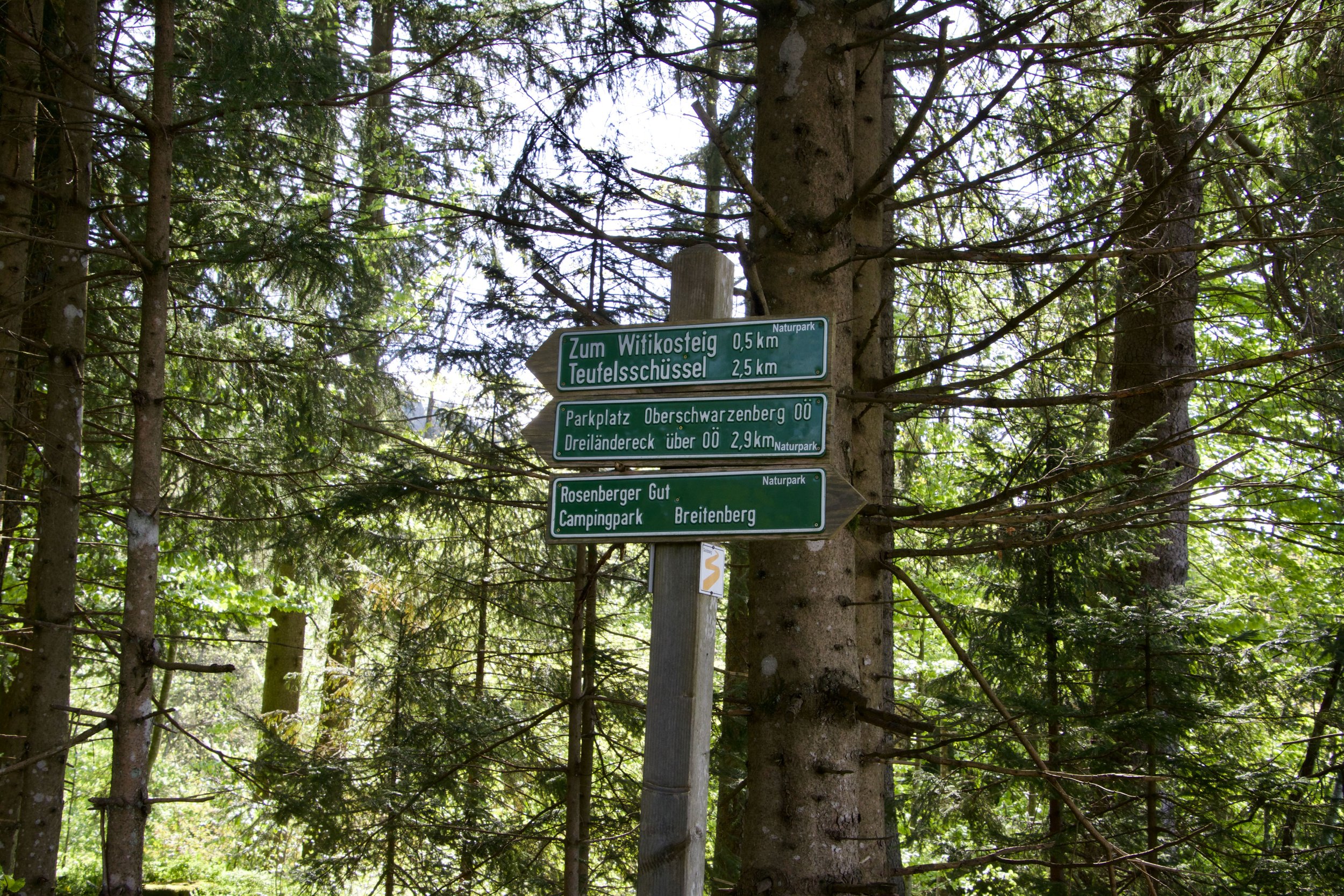
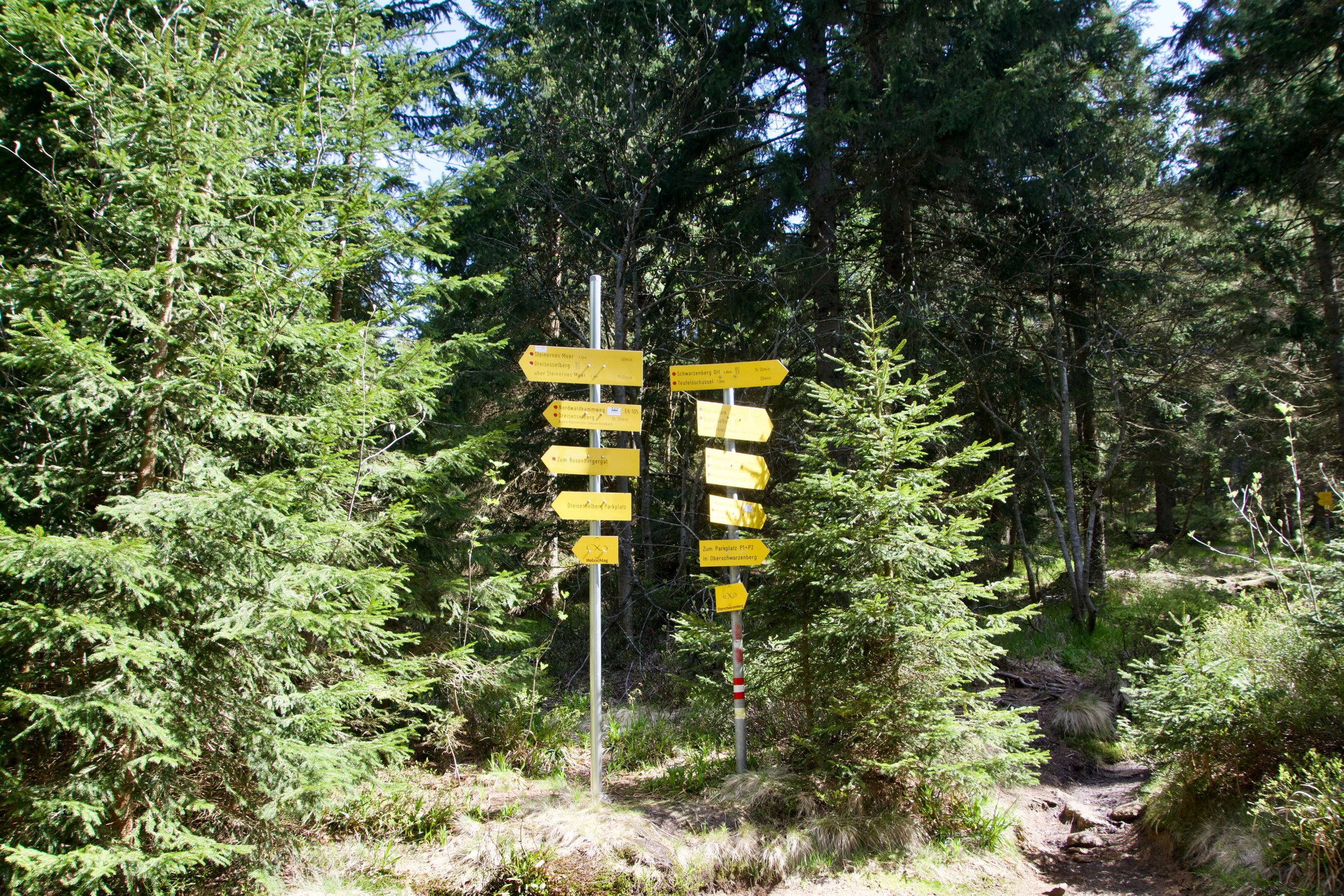
With stops to picturize border markers we saw, the hike up mountain costed us about 4 hrs. The walk down we used, after the first 900 mtrs. rockyroad, the path over Teufelschlüssel. It's a bit longer but a more comfortable walk.
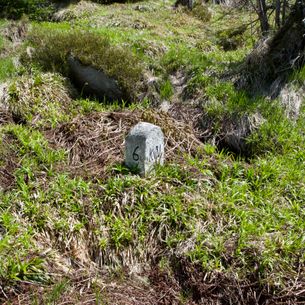
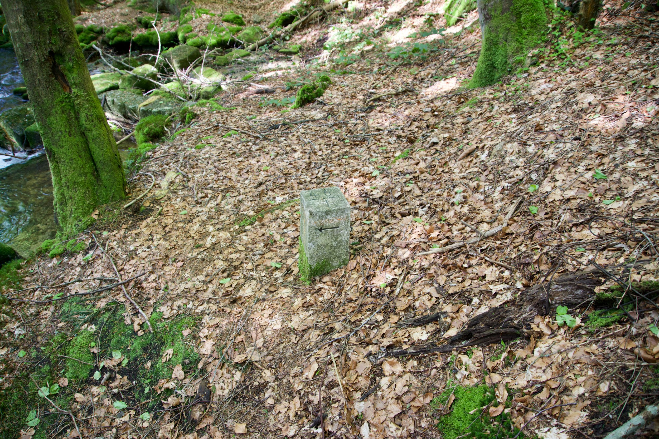
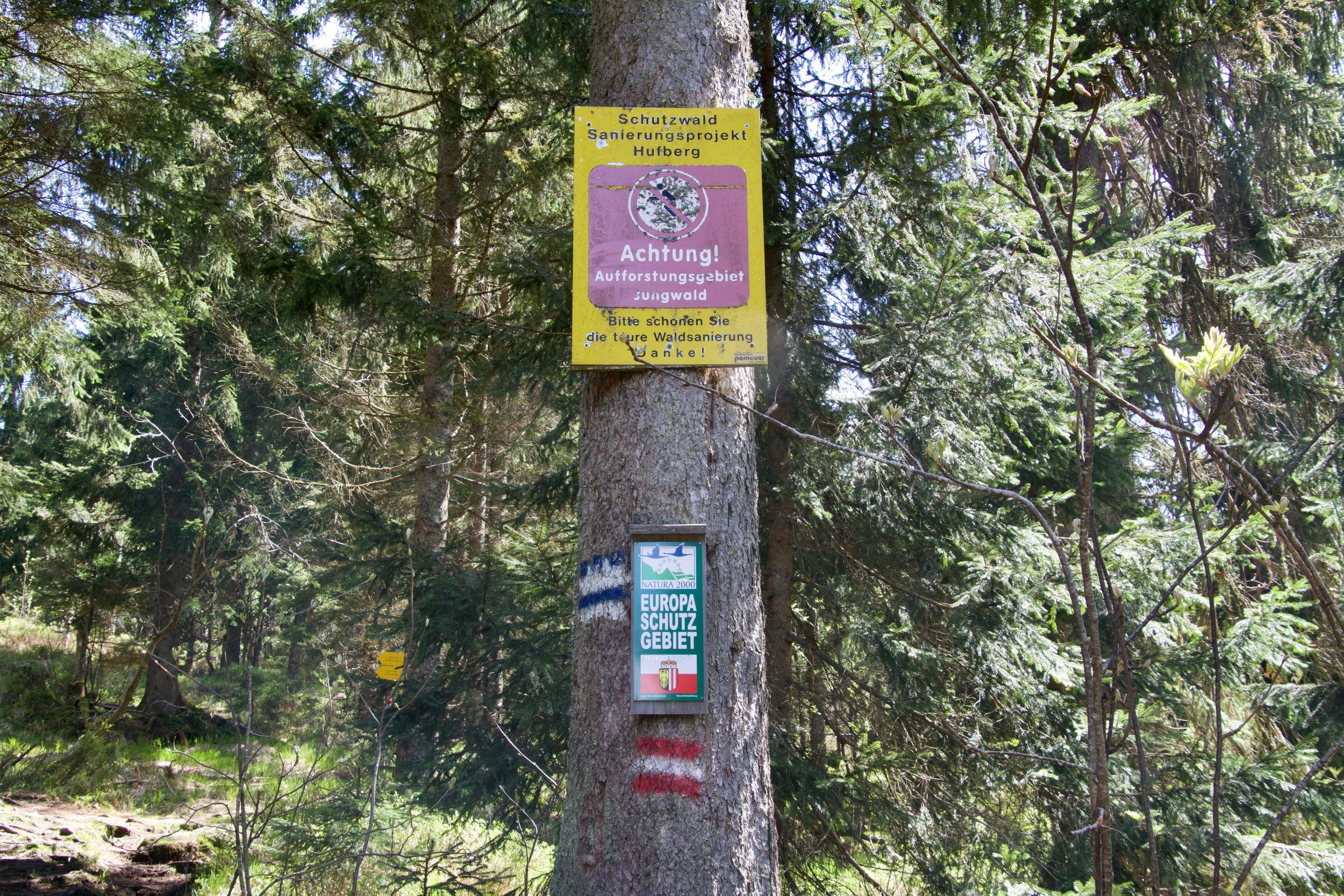
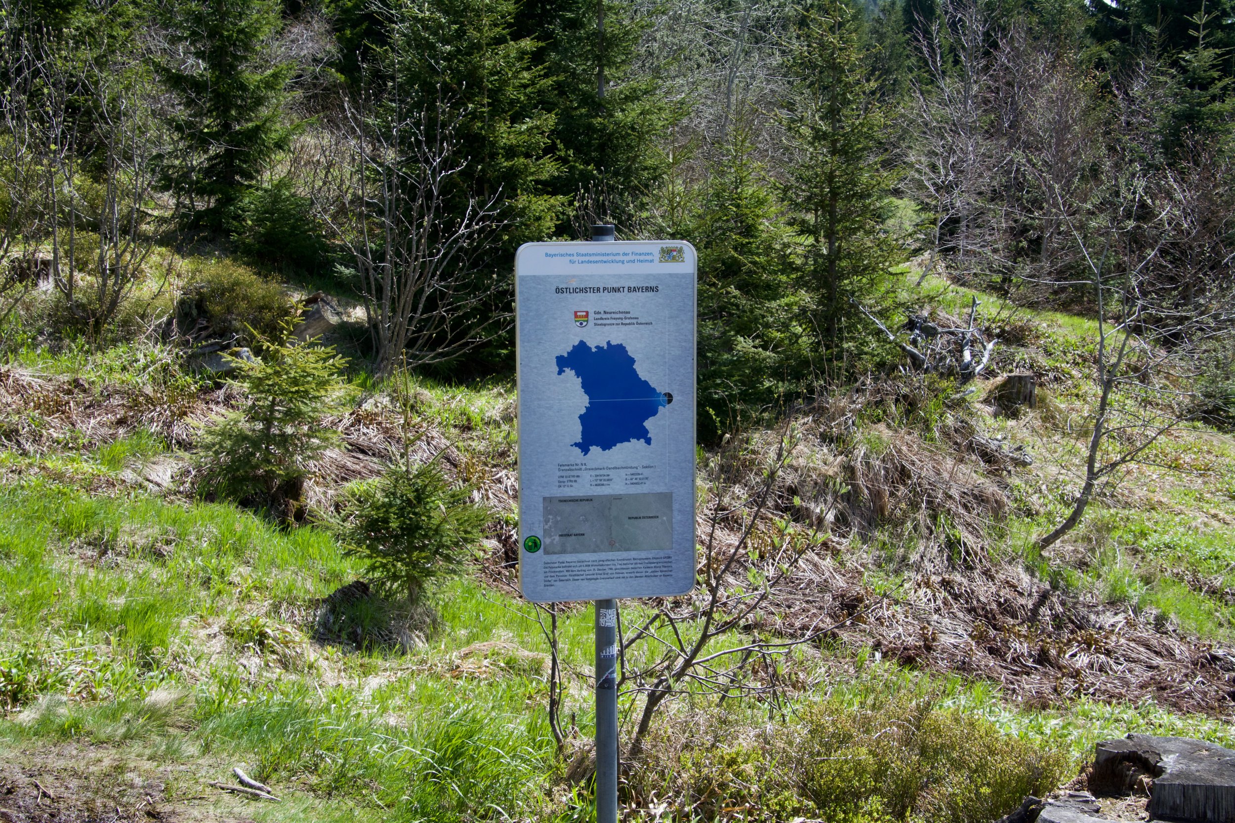
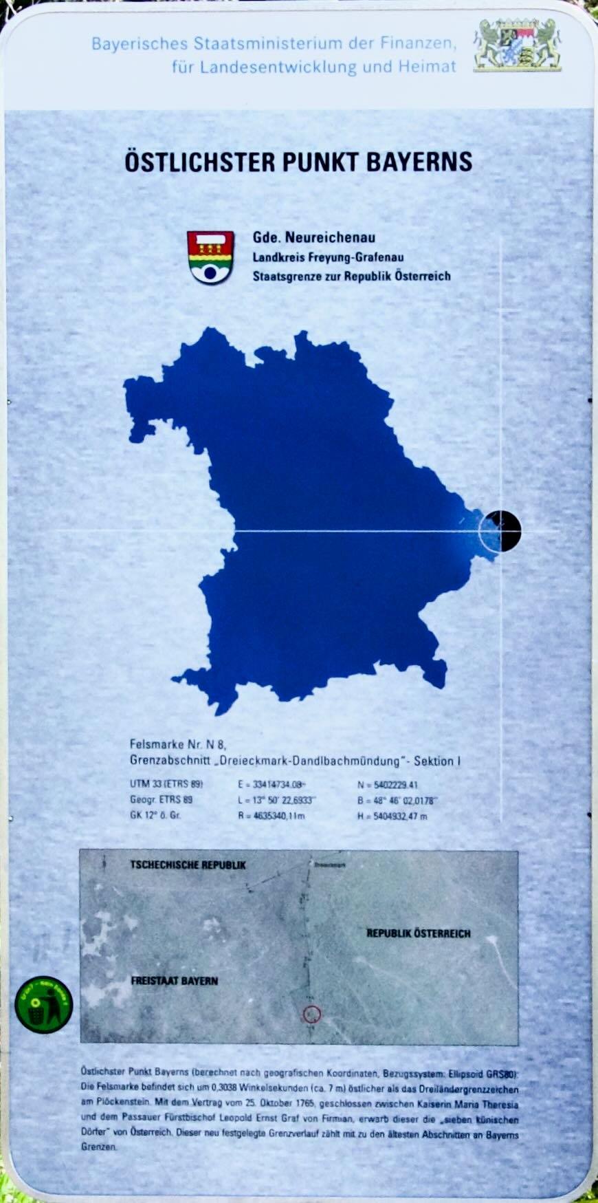
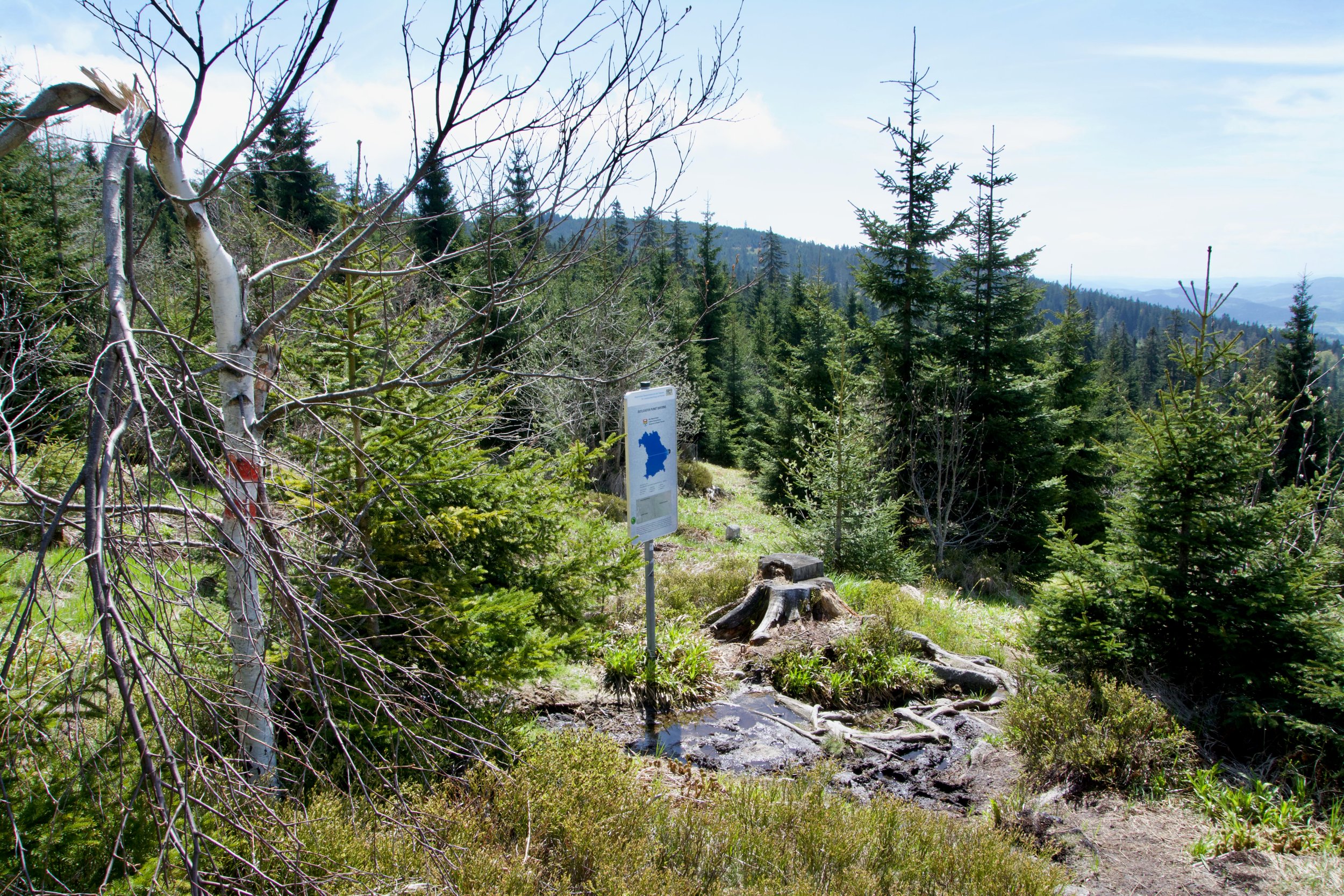
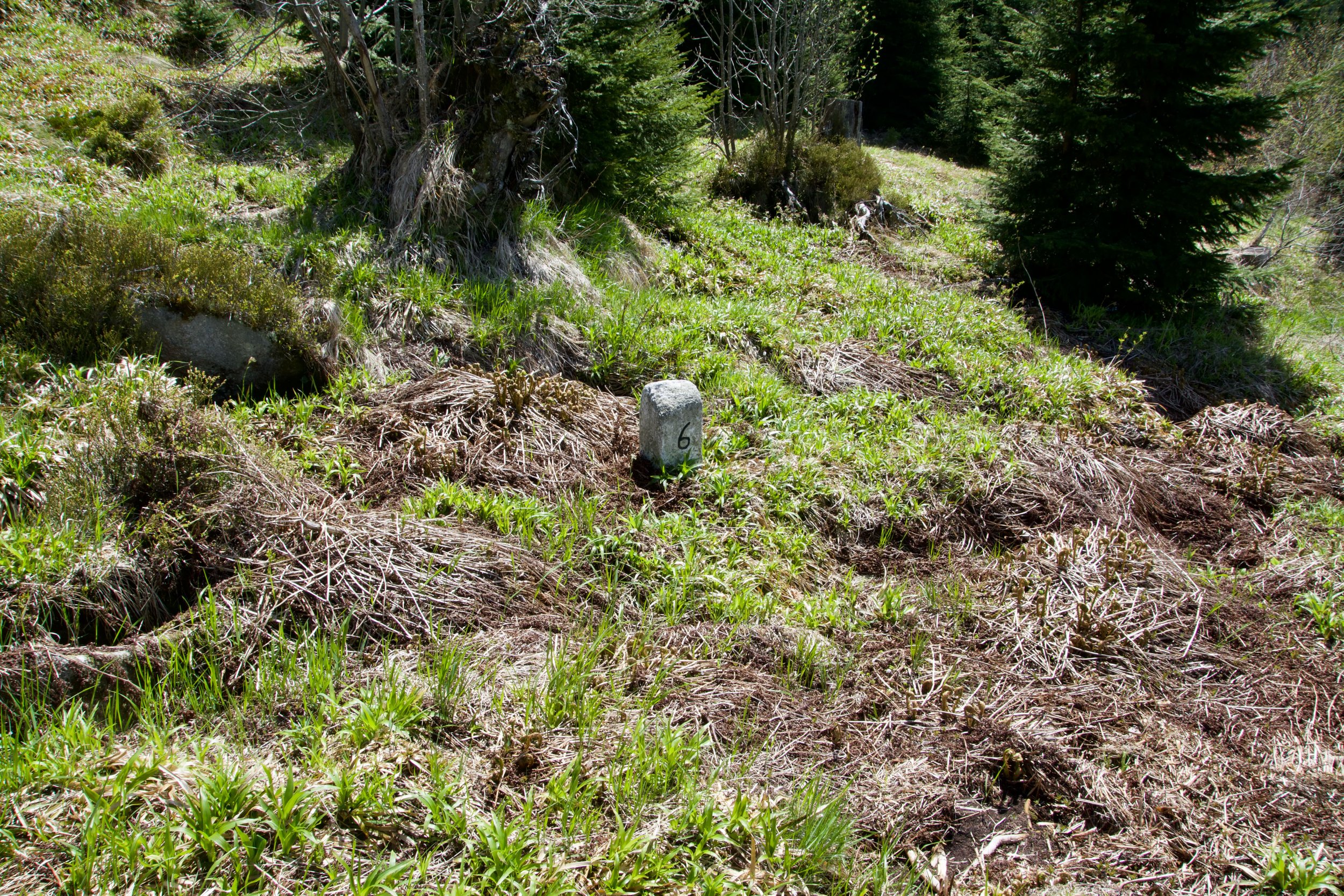
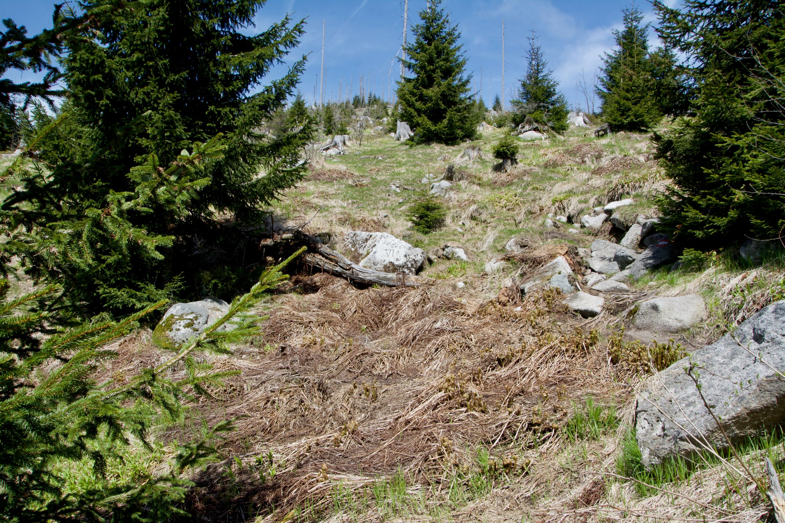
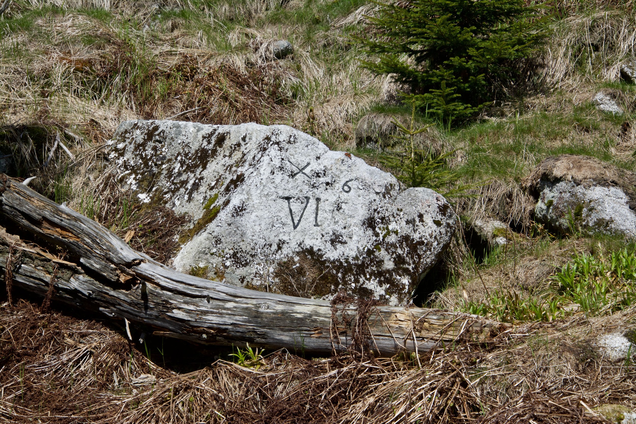
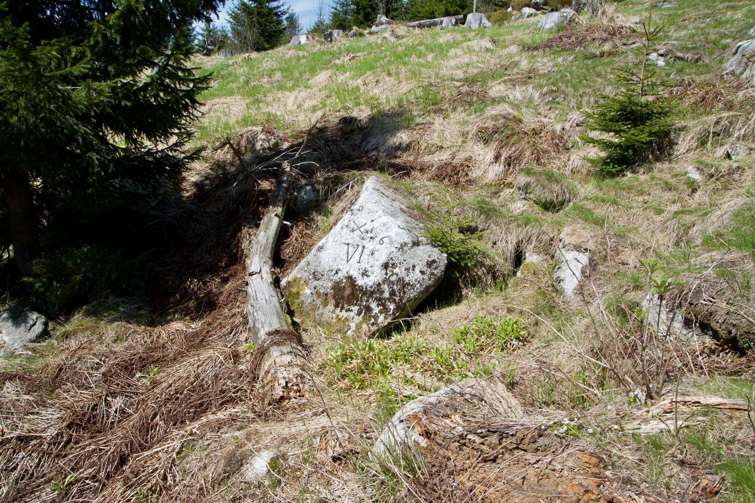
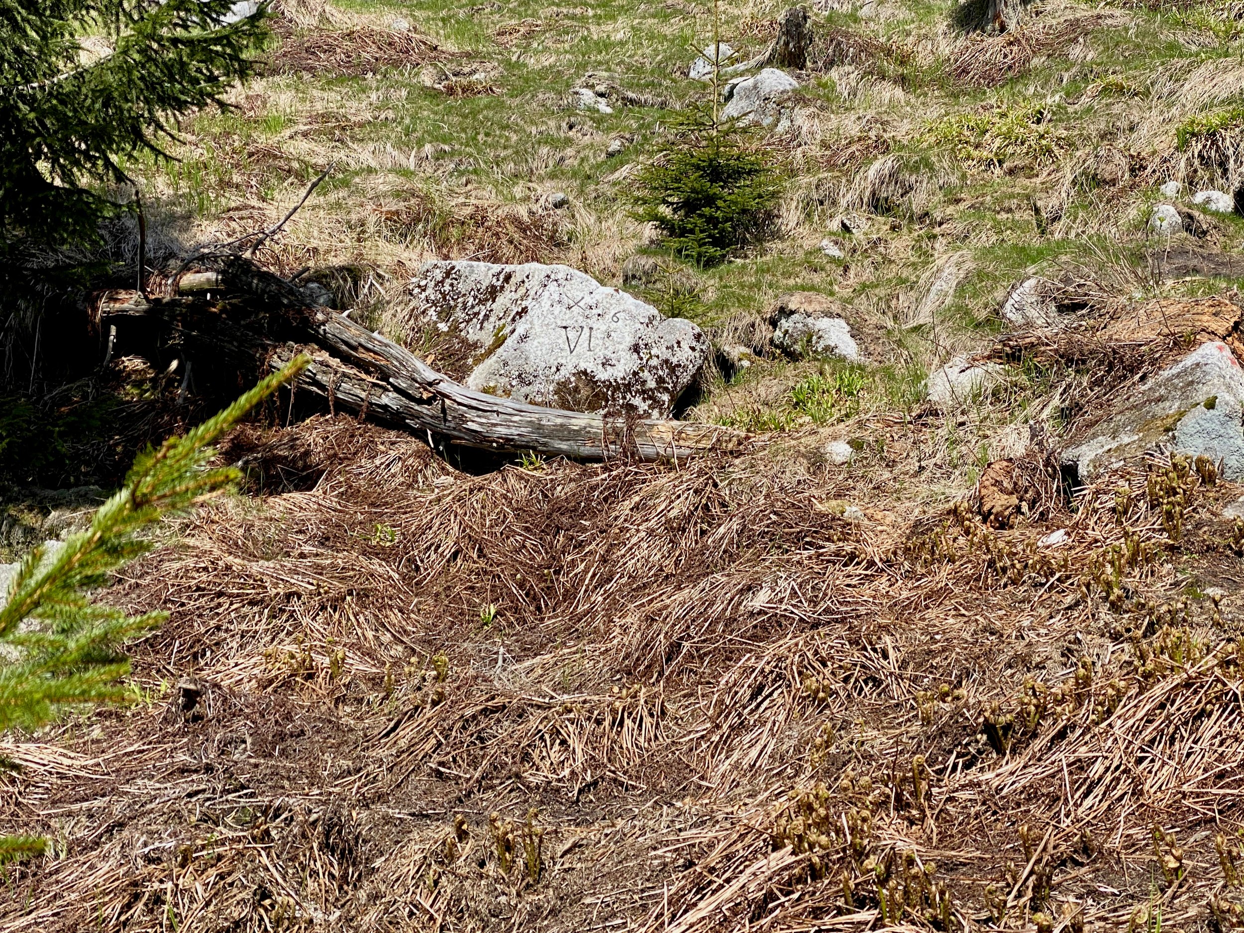
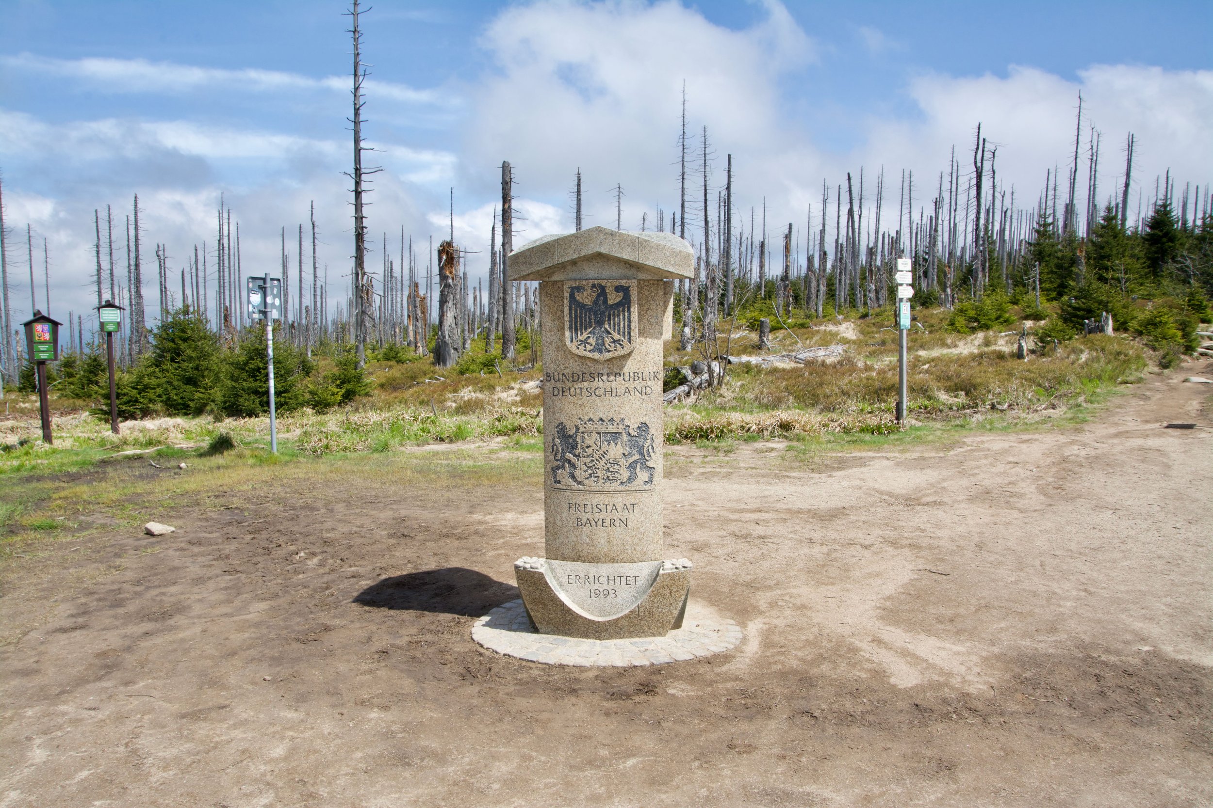
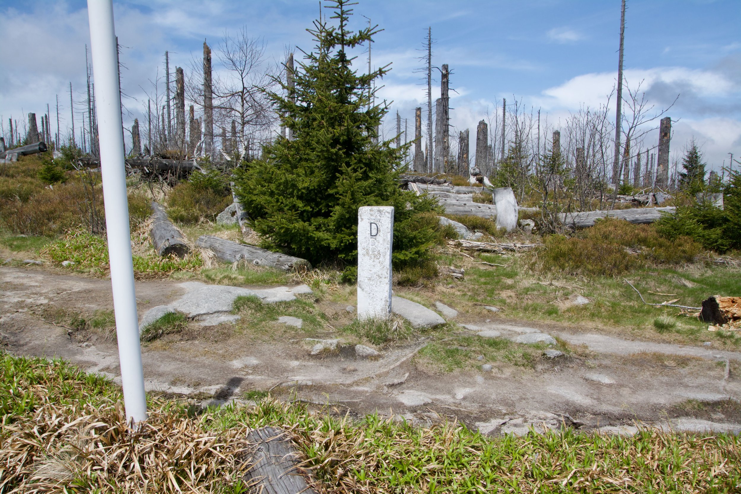
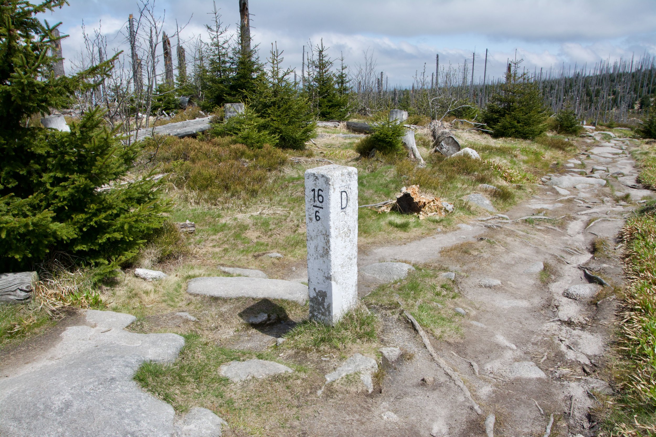
Not to forget to mention that we also crossed the most Eastern borderpoint of the 'Freistaat Bayern'. Not only signed with a sign, also marked with a state border marker (nr. 6).

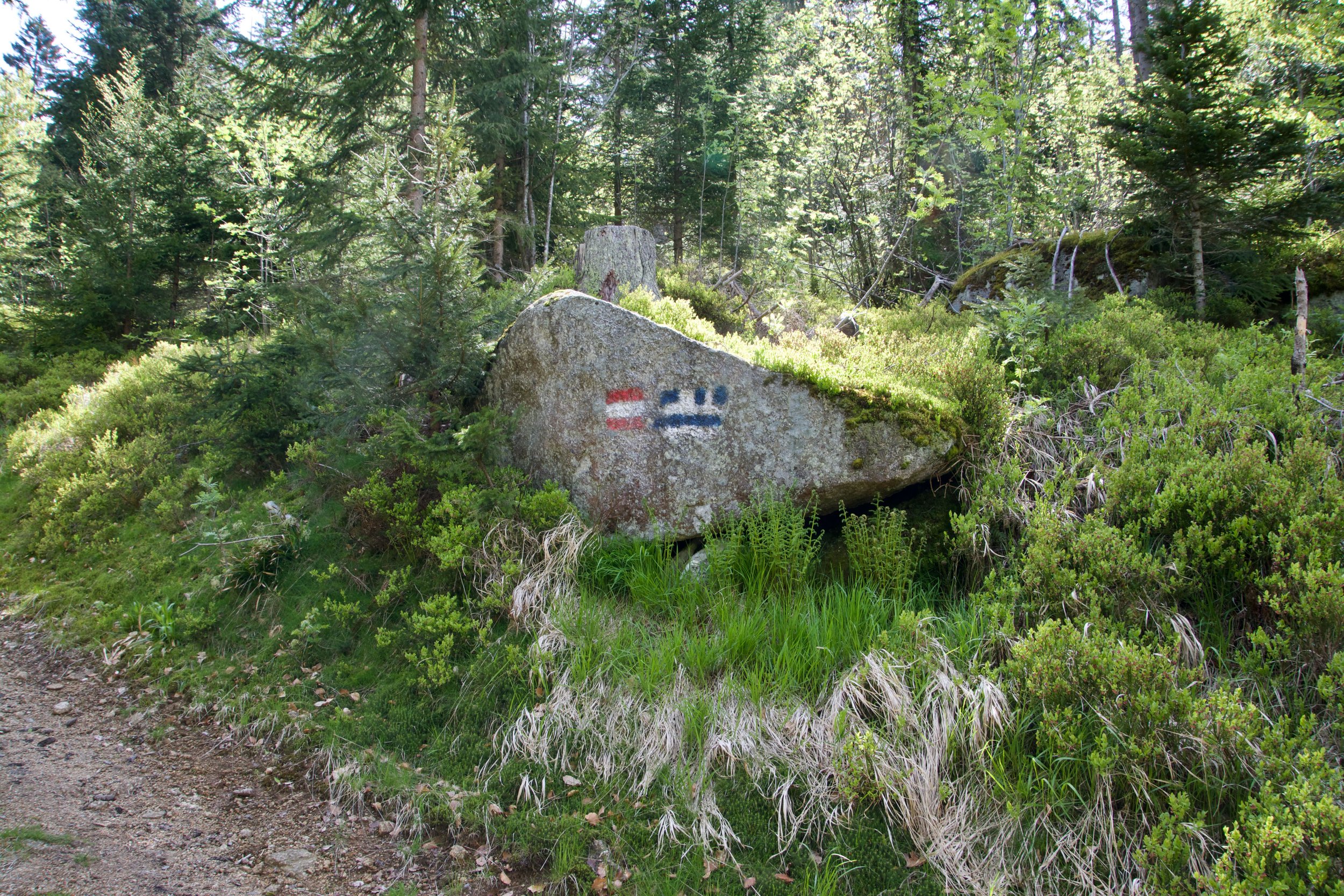
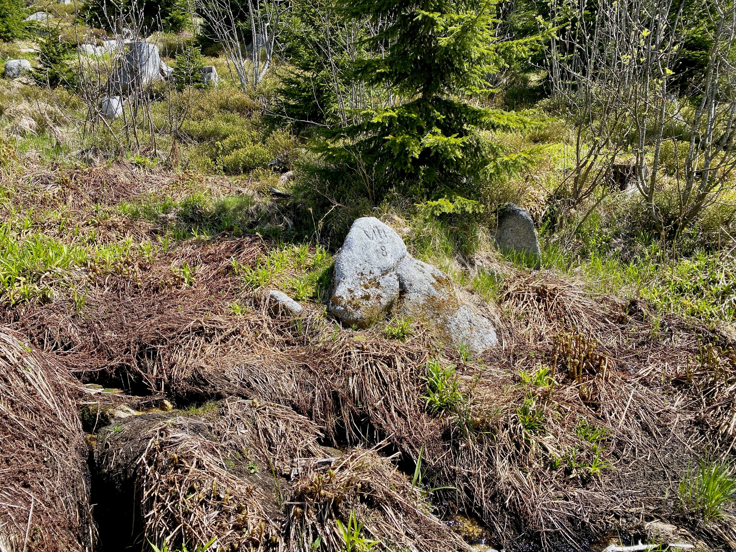
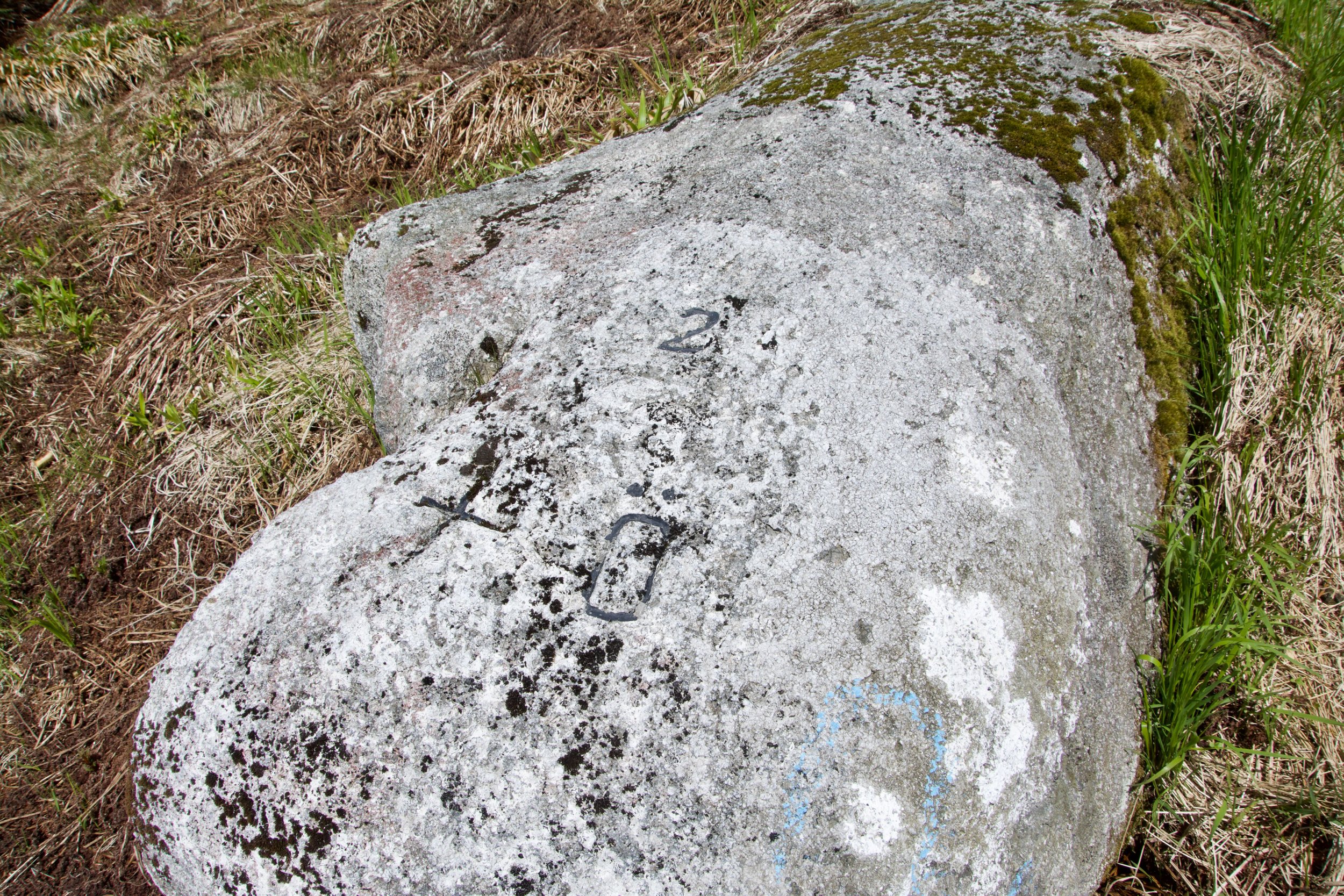
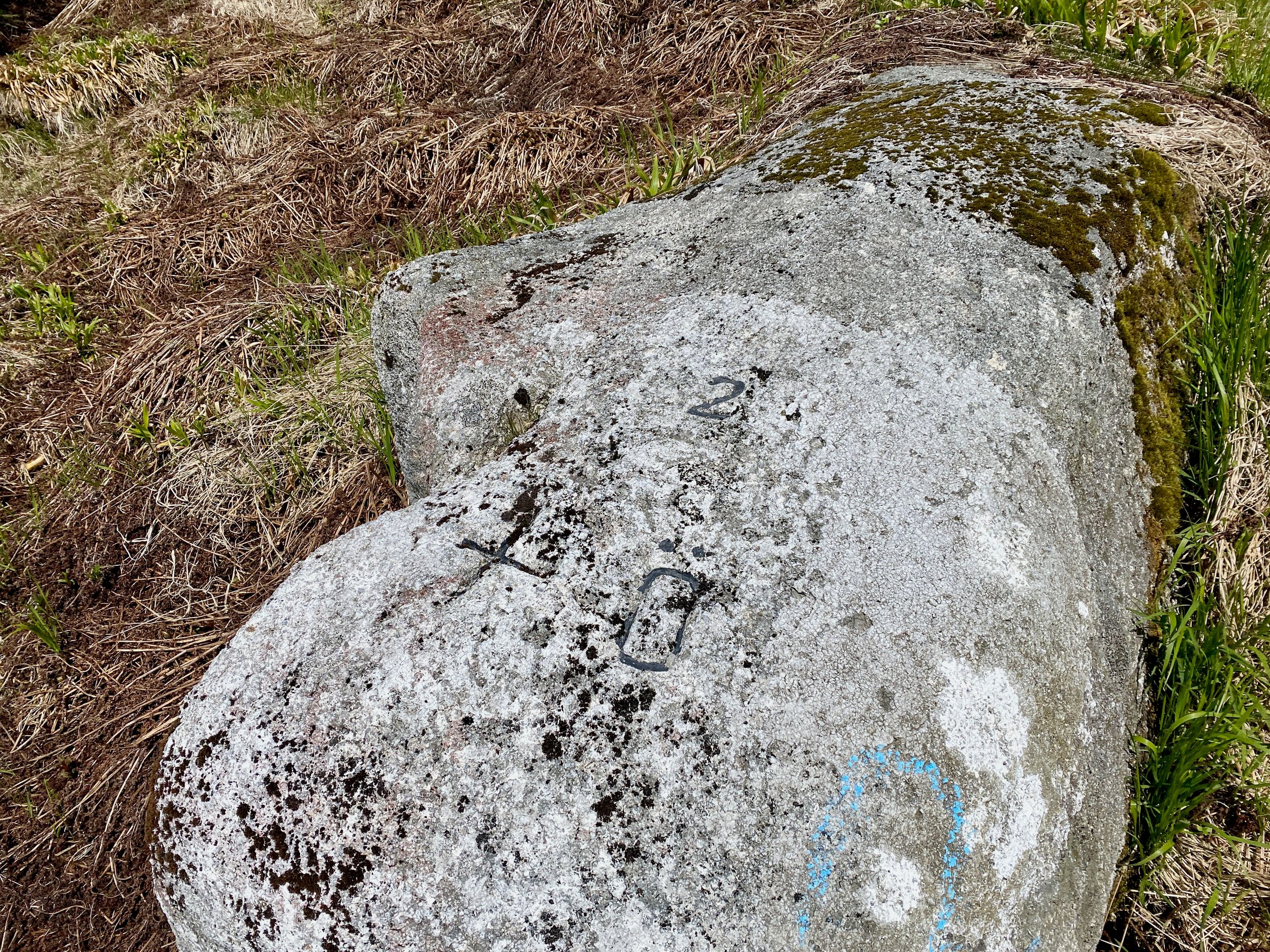
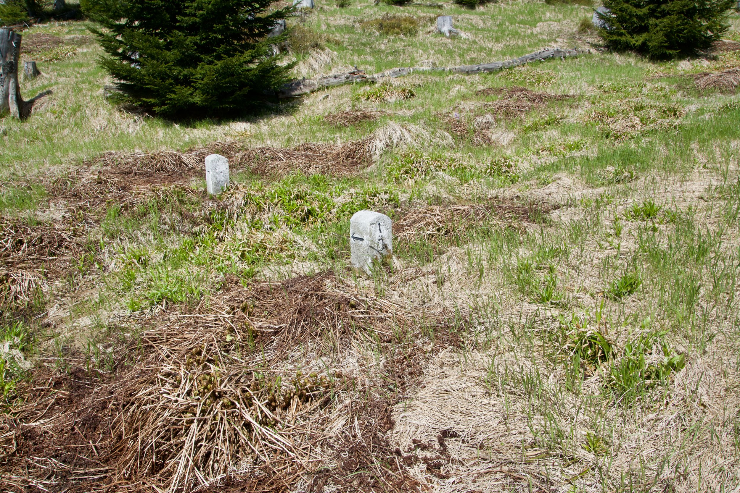
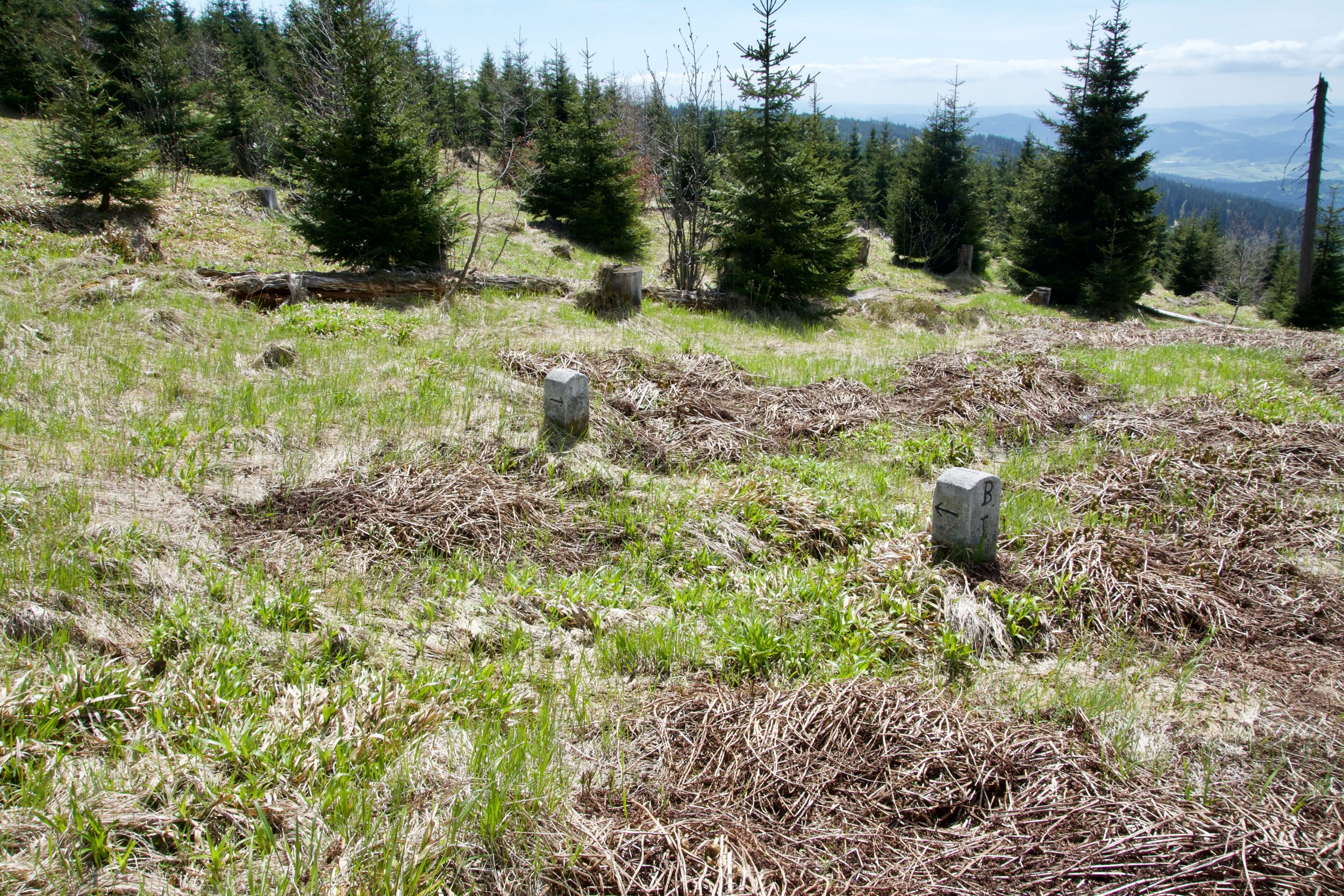
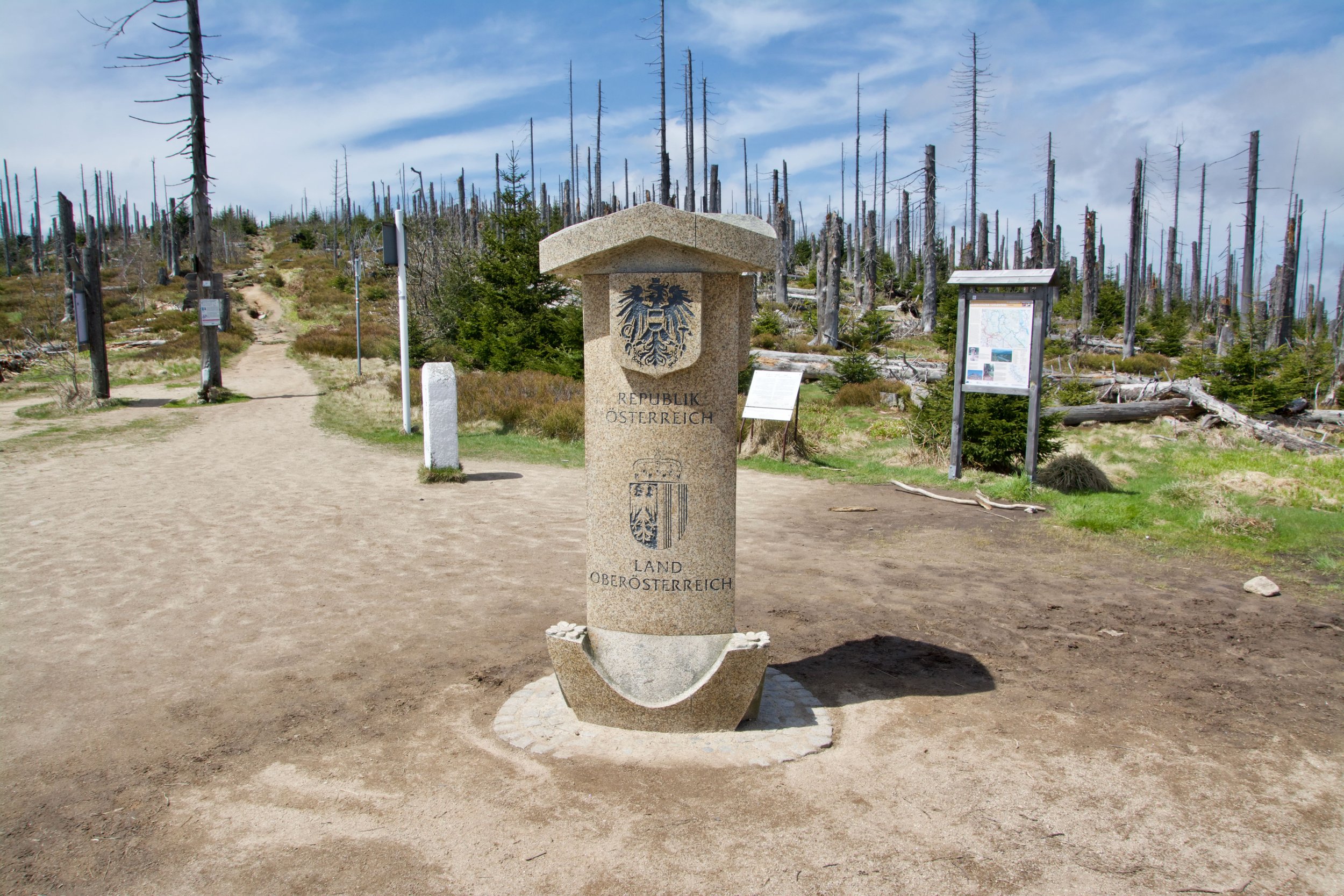
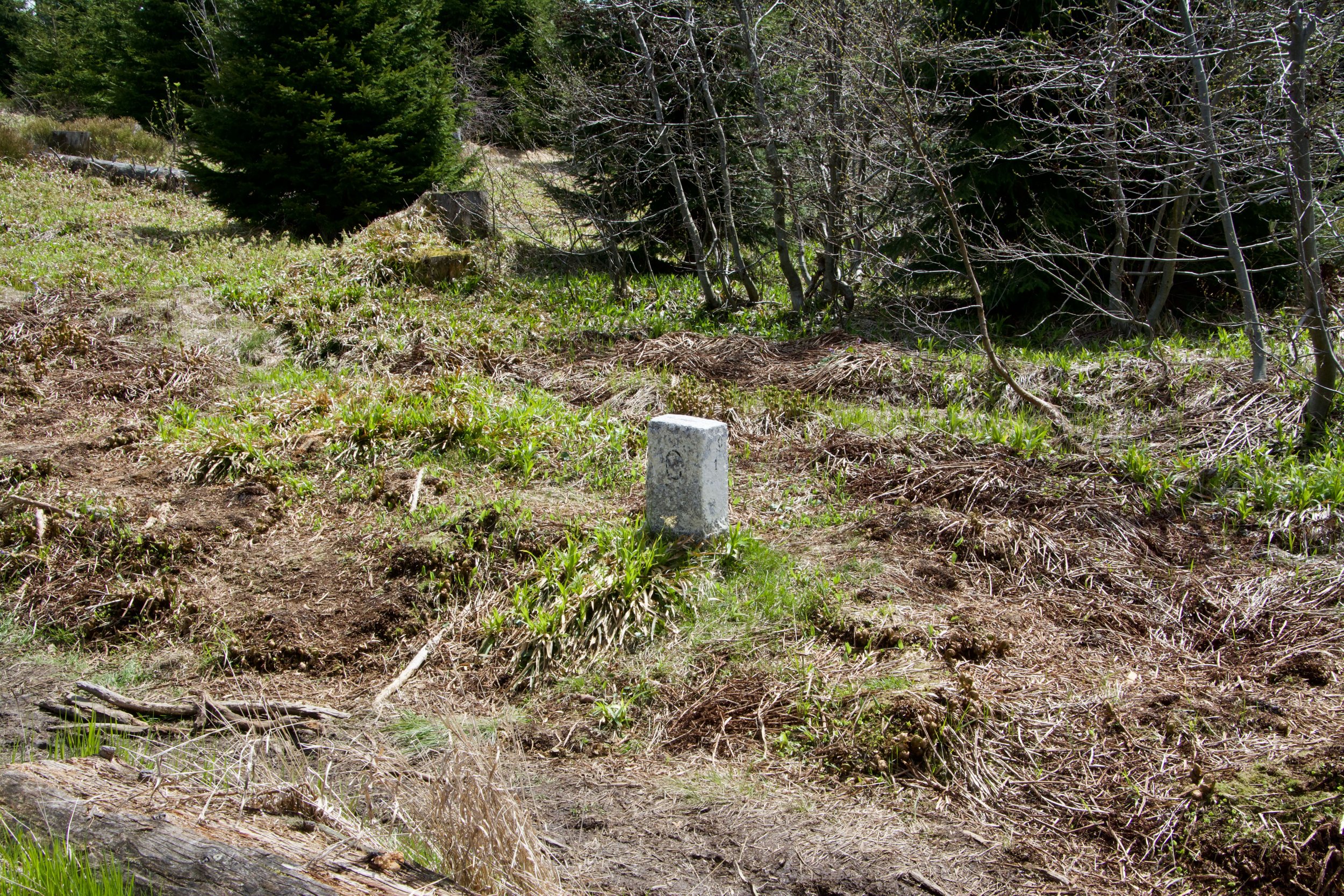
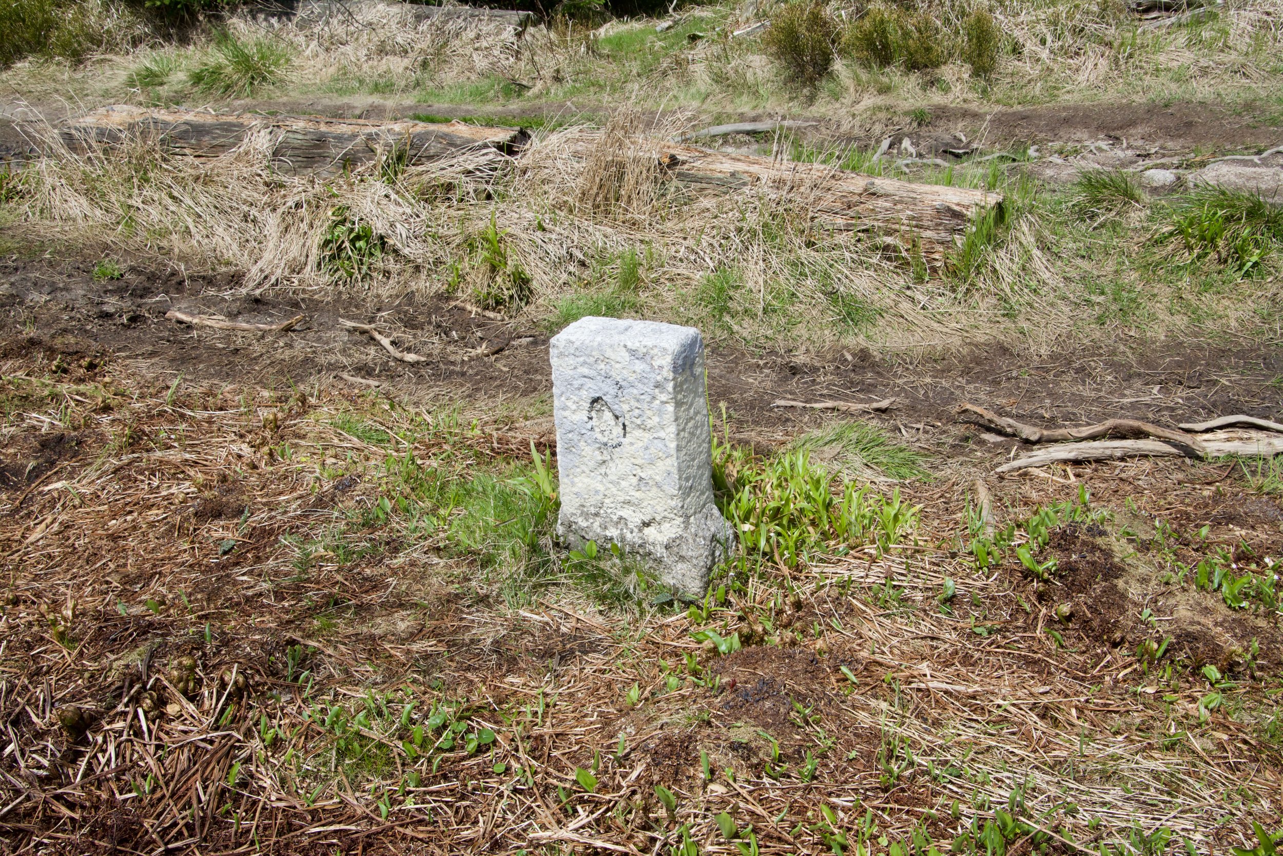
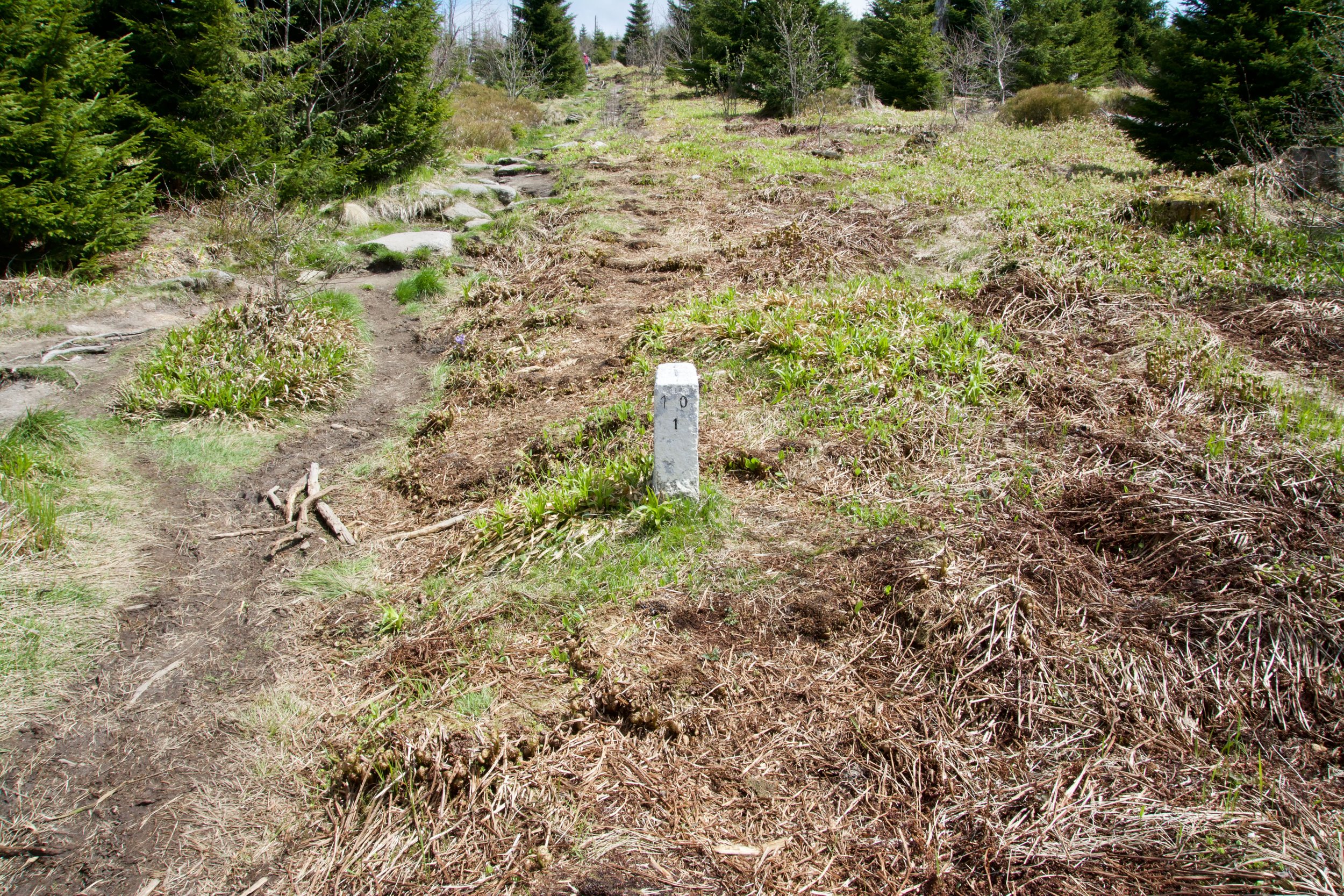
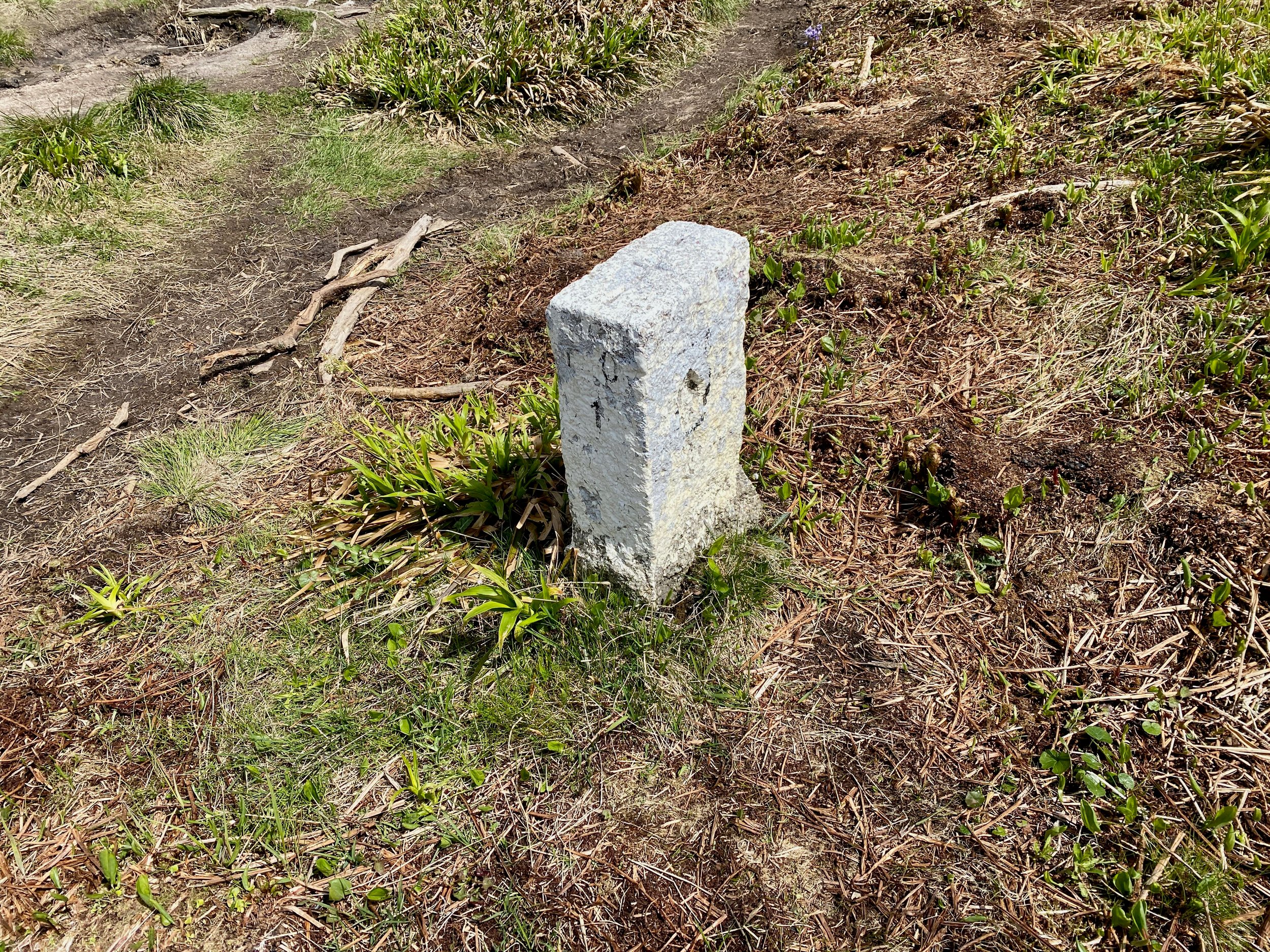
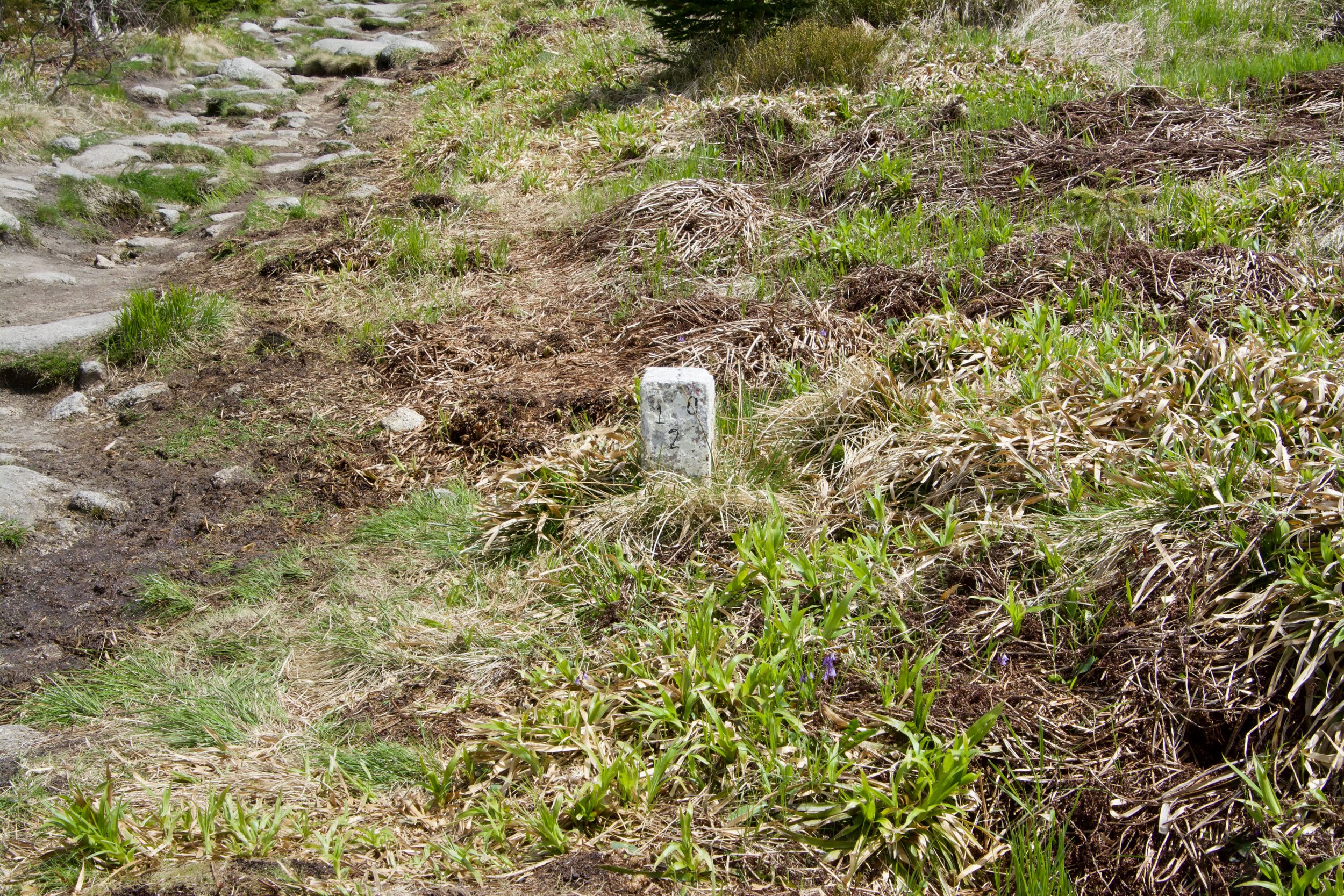
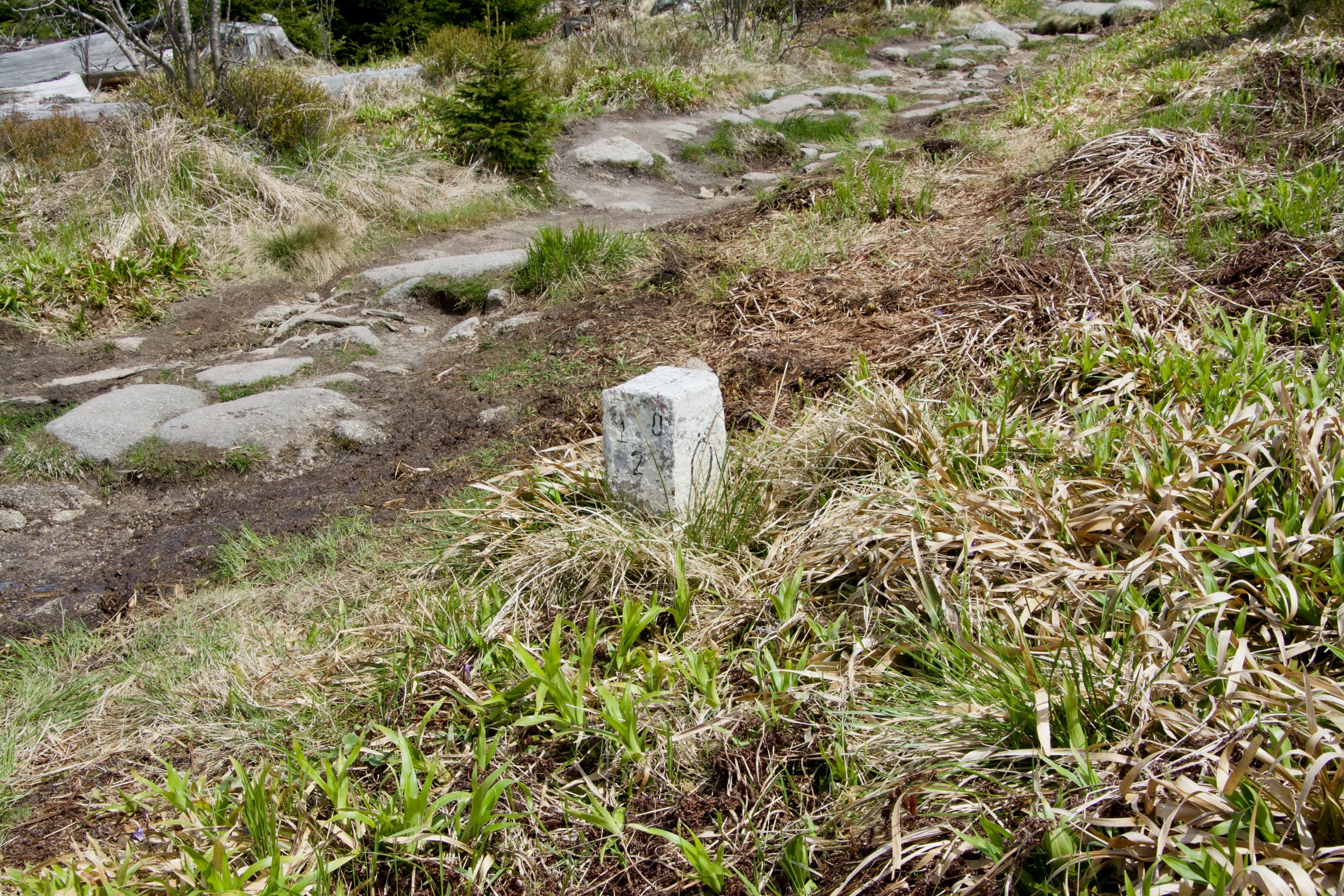
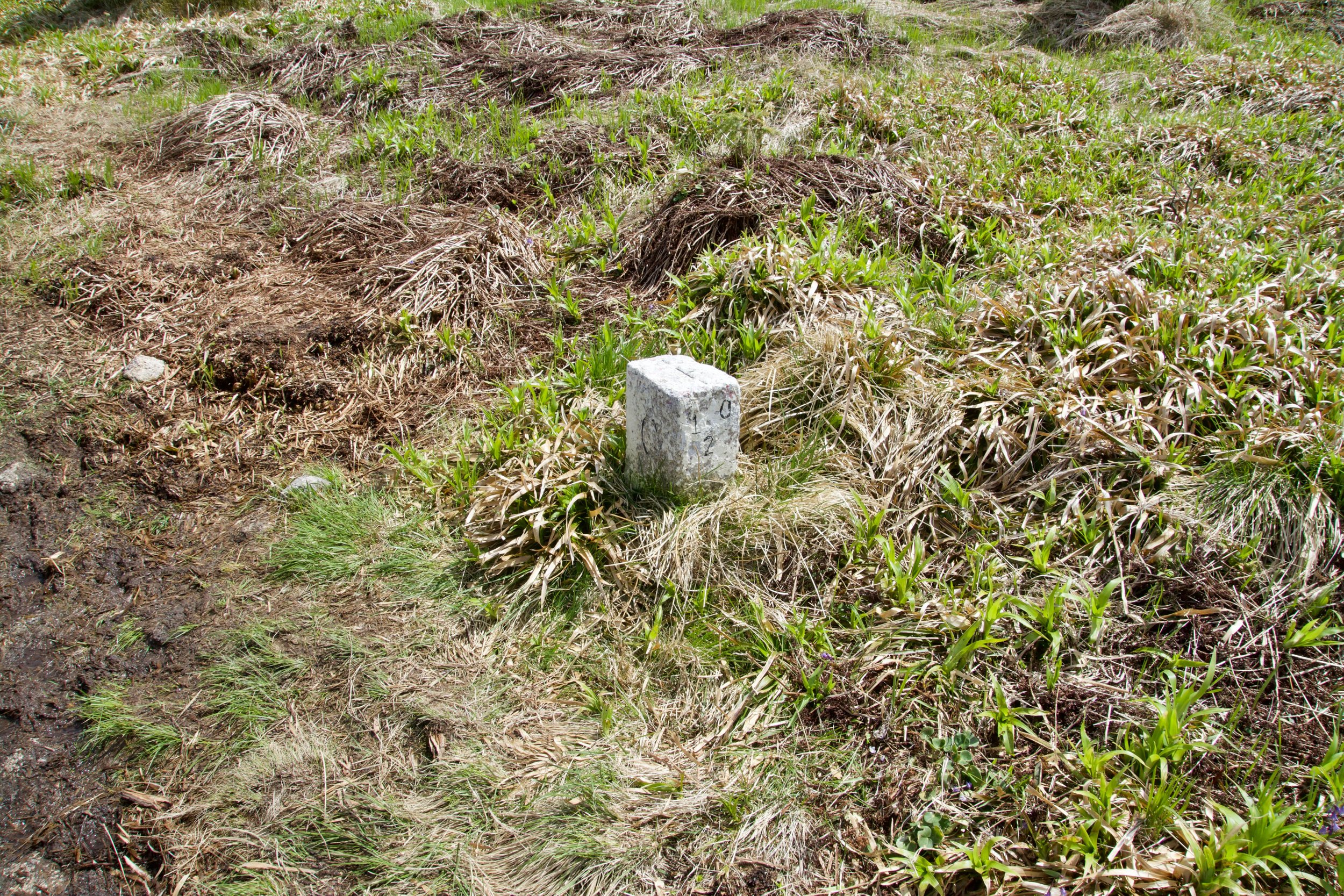
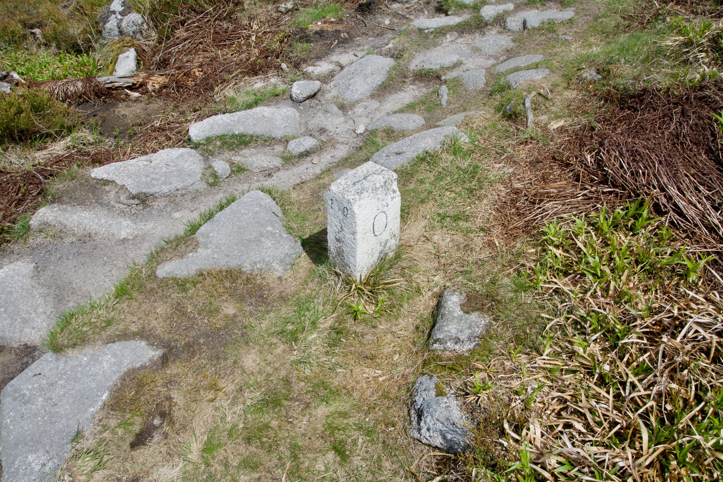
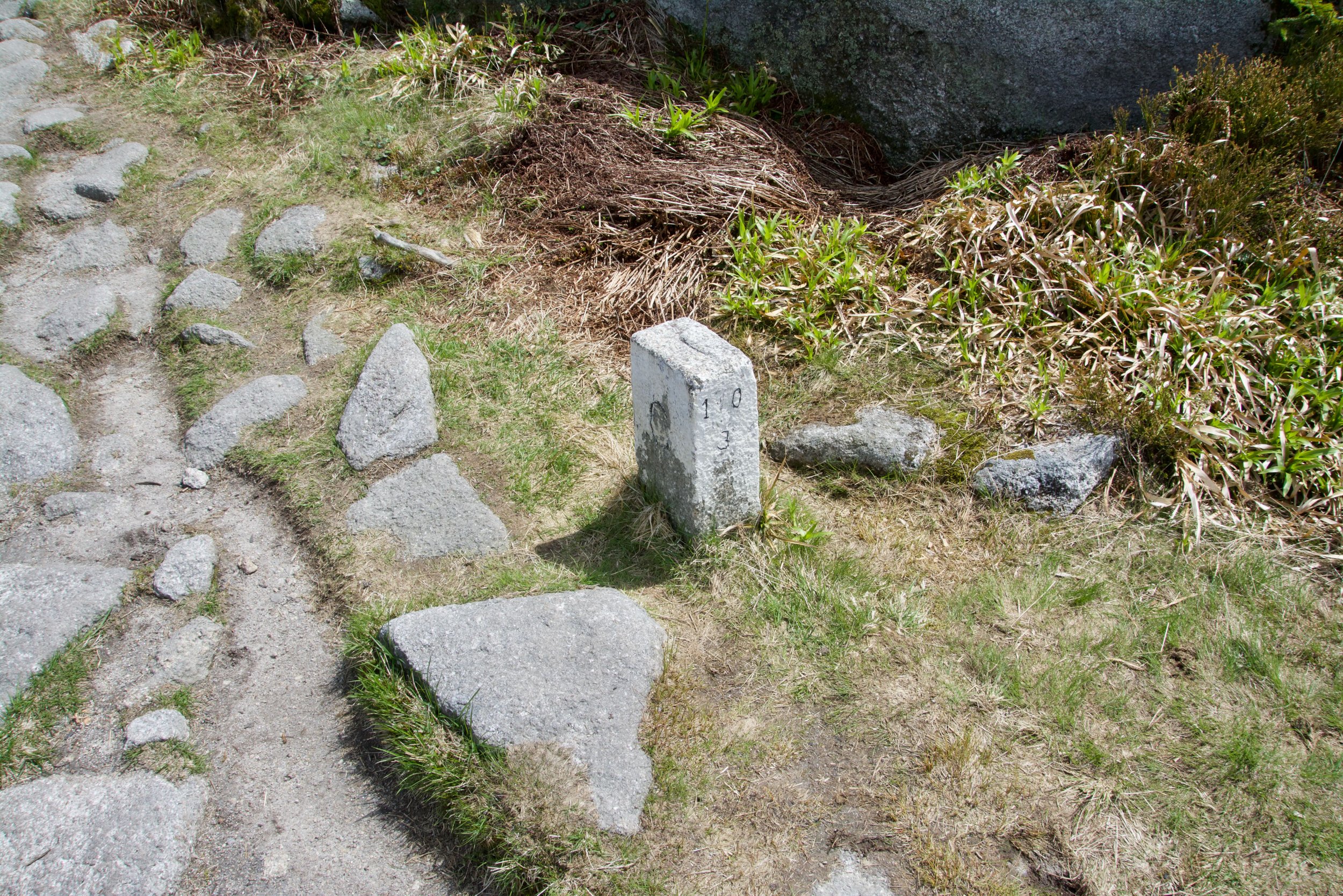
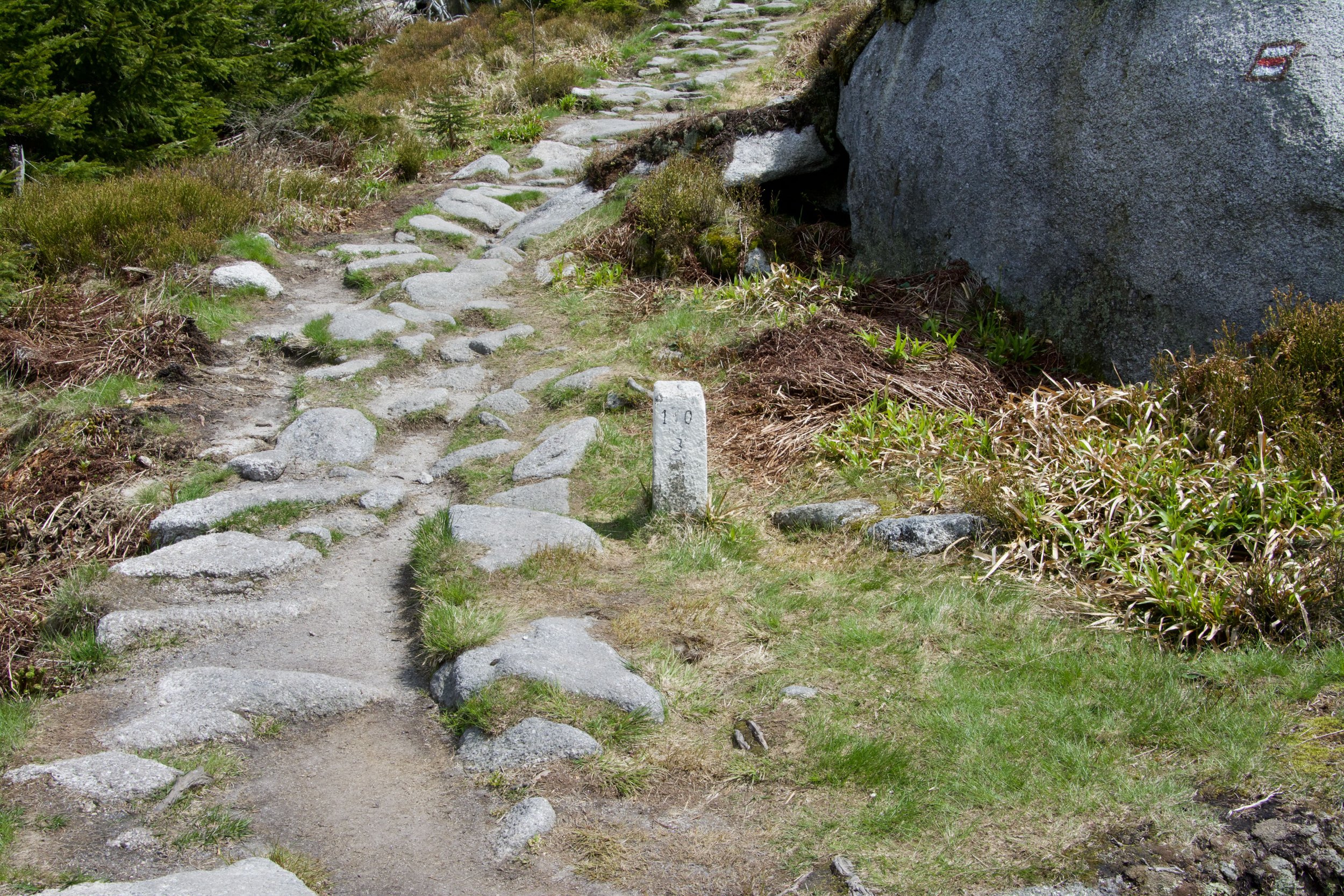
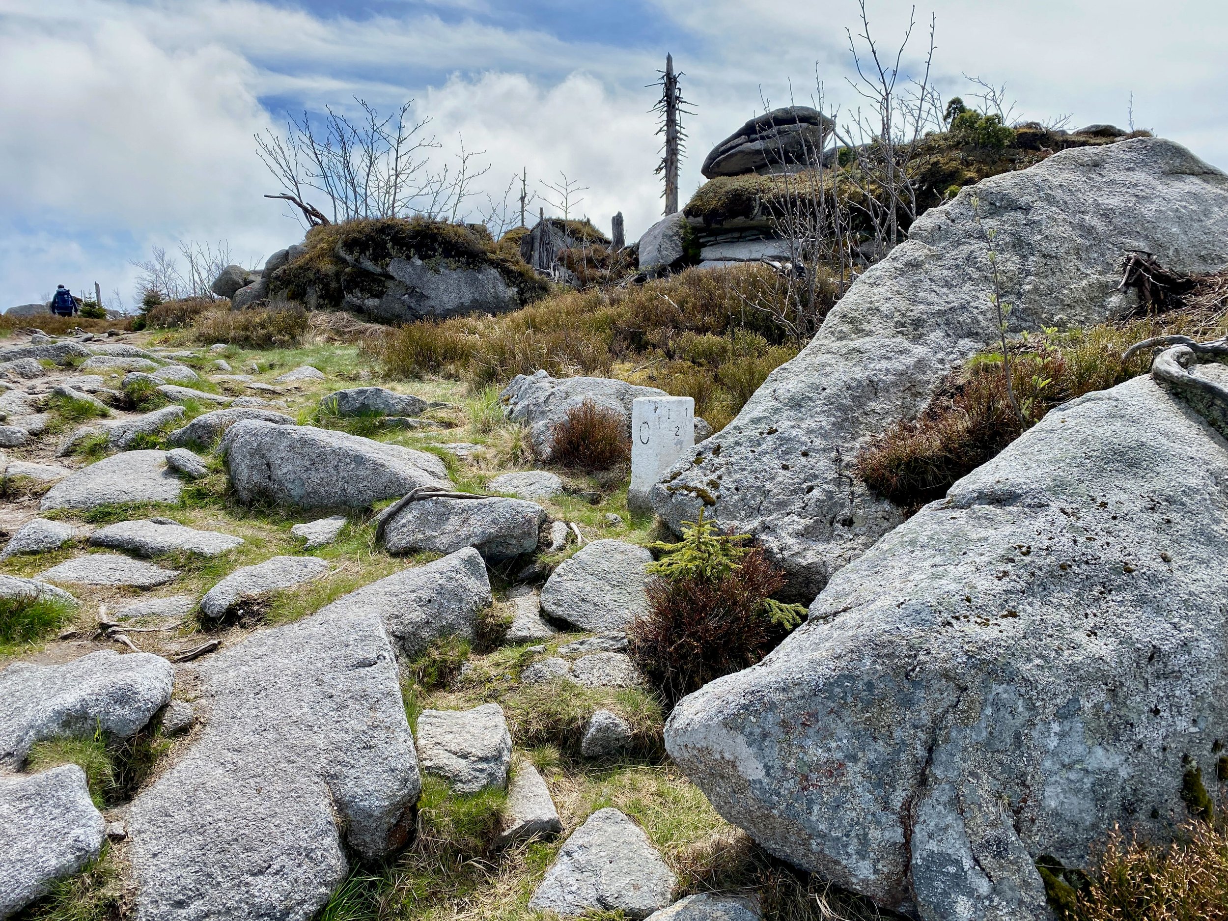
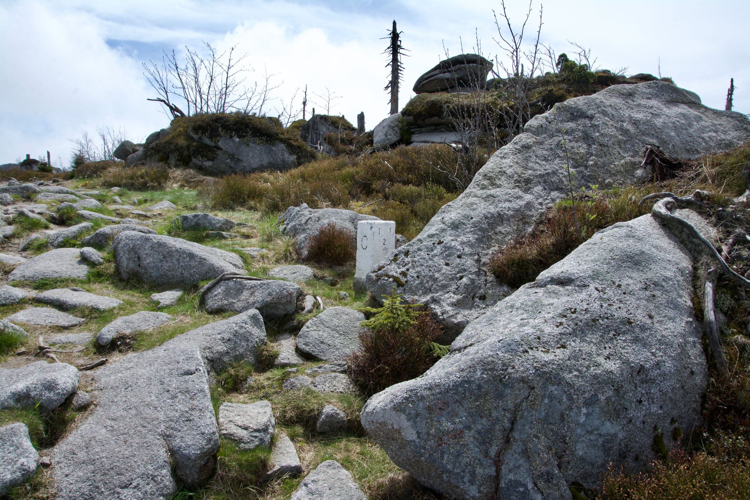
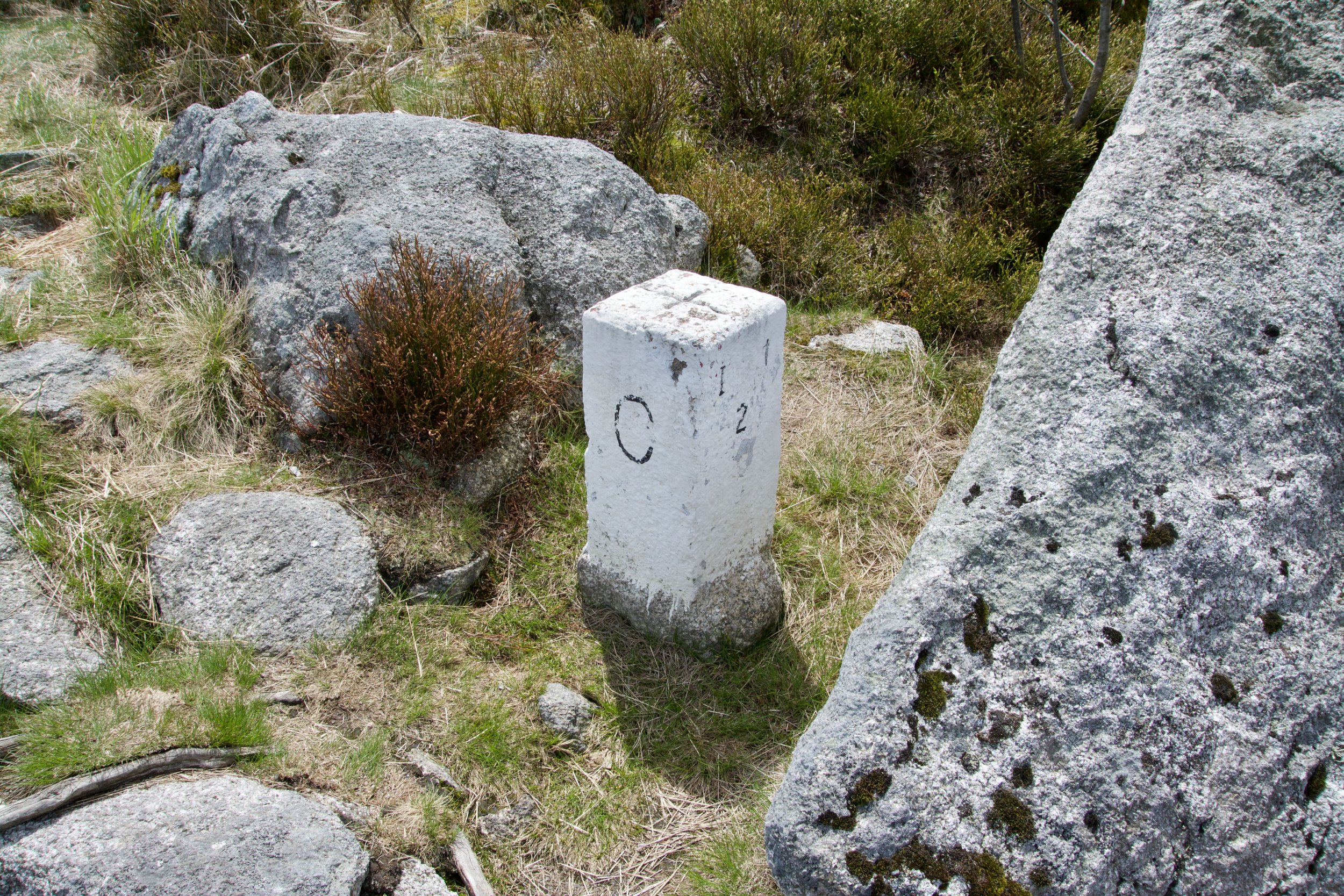
Bordermarker CZ/A
nr. 1-1-0
Page information:
push for direct going to the right section

Section 'going up'
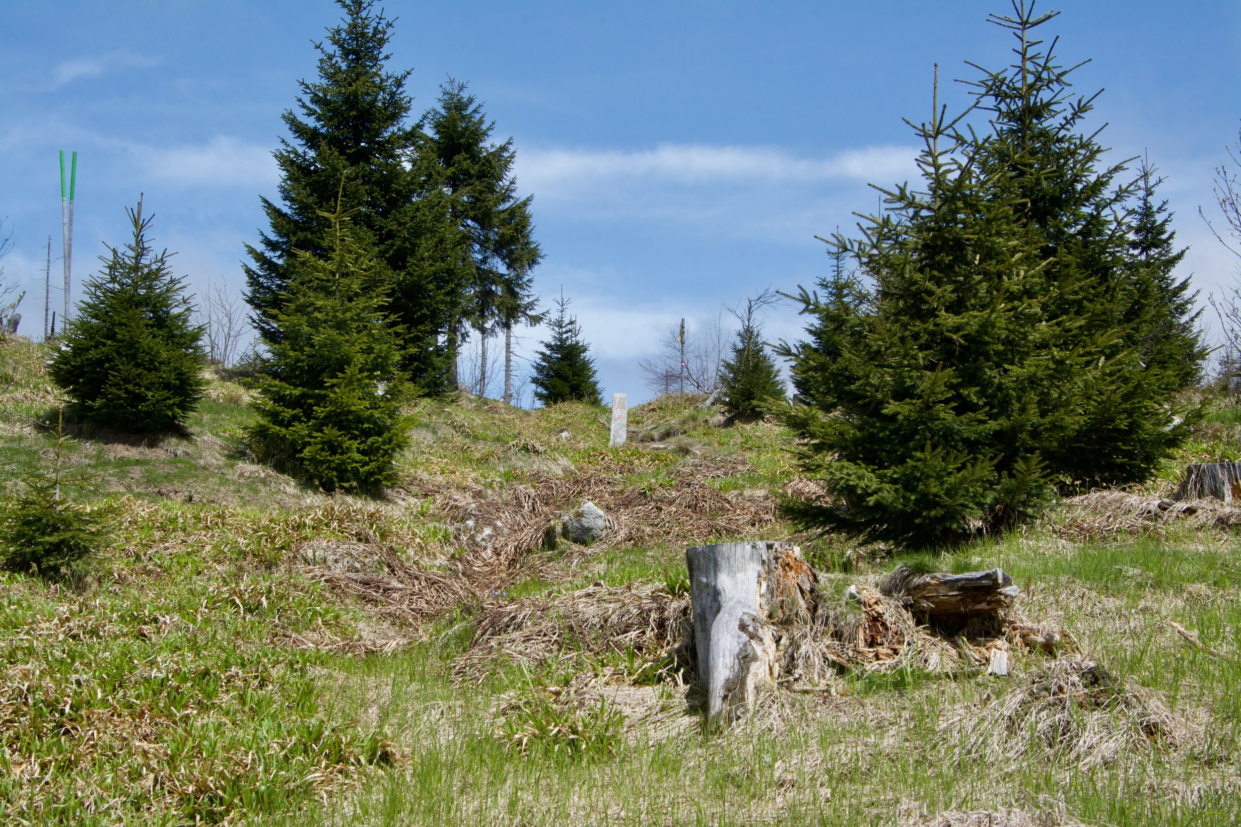
The tripoint Austria - Czech - Germany
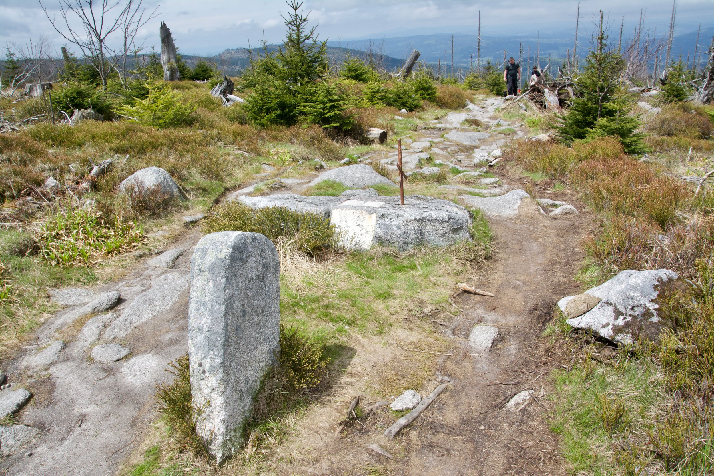
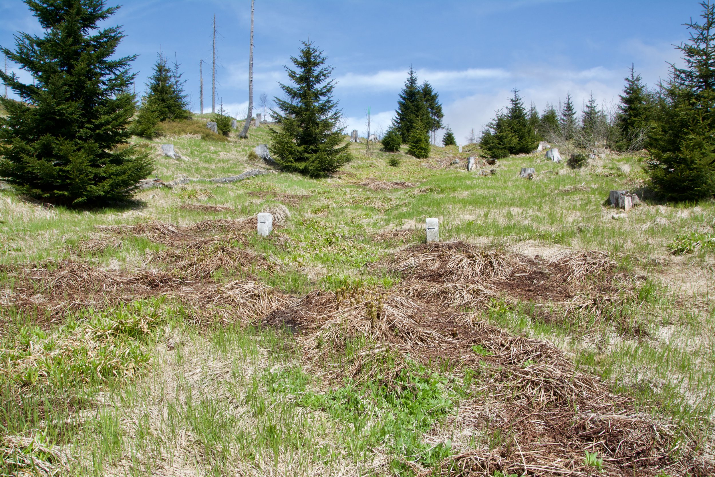
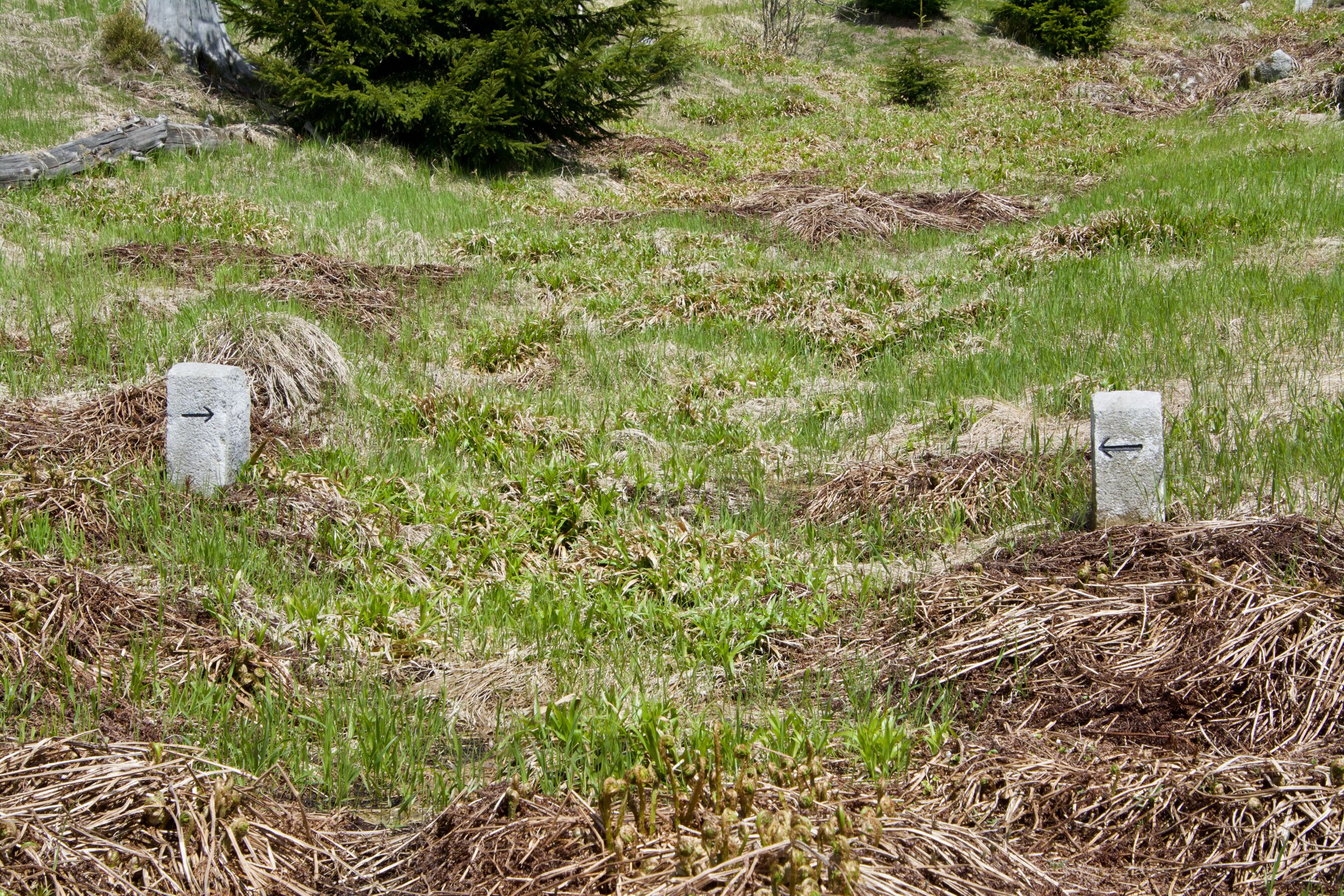
Next 4 pictures are from the way back, down mountain.
Section 'other pictures'
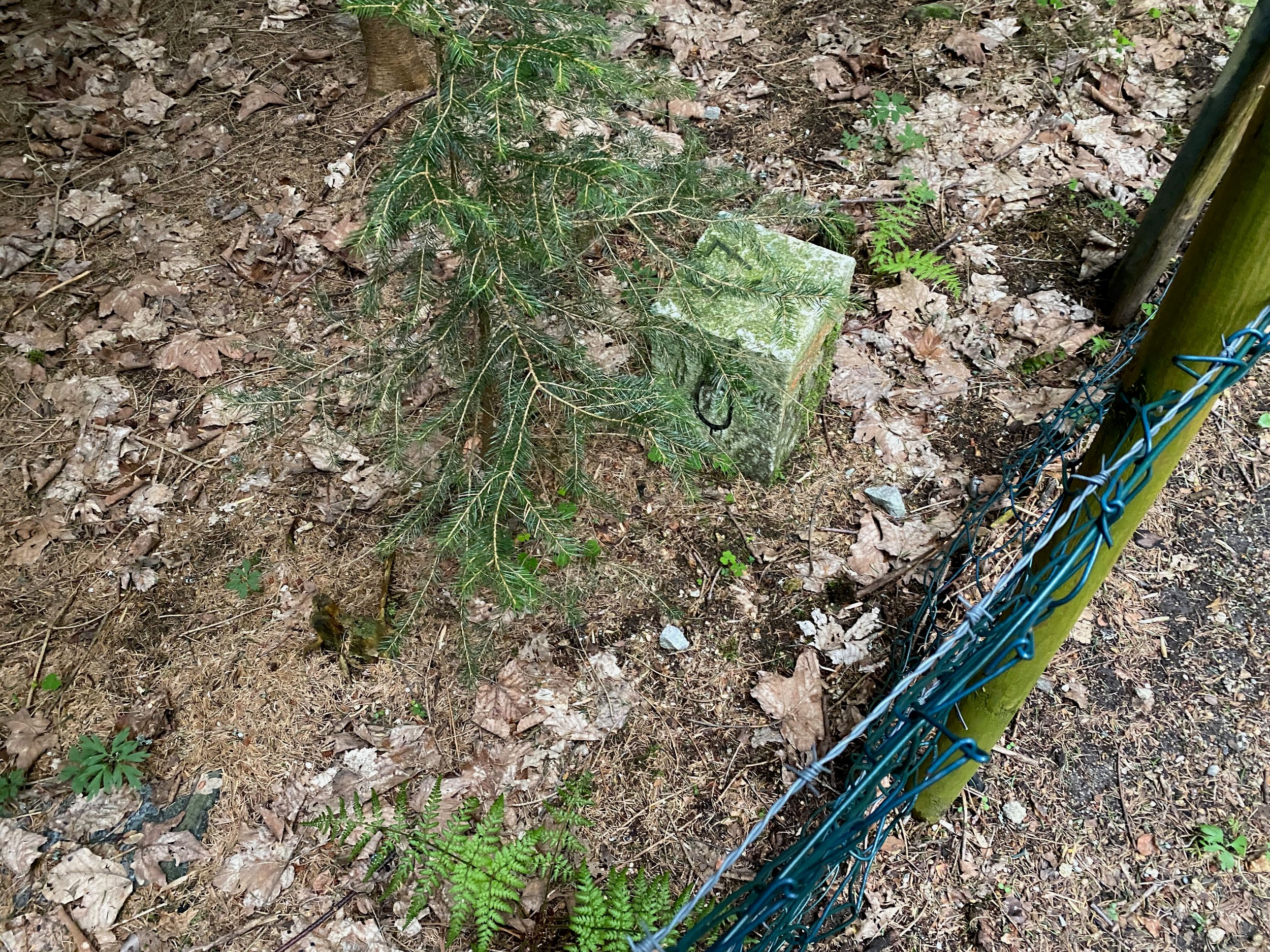
Next pictures are from some other border markers we saw here around.
")
")
")
")
")
")
© Op alle foto's rust het auteursrecht.
Vraag s.v.p. vooraf om toestemming als je foto's gebruiken wilt.©
